Accurate laser scanning with Leica Geosystems

A new handheld imaging laser scanner from Leica Geosystems is said to offer high efficiency for surveyors.
February 6, 2020 Read time: 1 min
Fast laser surveying is possible with the new tool from Leica Geosystems

The BLK2GO handheld imaging laser scanner is said to be the first-of-its-kind mobile scanner that can scan complex spaces efficiently and quickly due to its LiDAR, SLAM (simultaneous localisation and mapping) and edge computing technologies.

The laser scanner can capture 3D environments while the user is in motion, and generate 3D point clouds continuously. Compact in design, the unit allows access to spaces that may have been difficult or impossible to scan before.

Combining two-axis LiDAR with visual SLAM technologies, the BLK2GO will accurately follow a user’s trajectory while scanning. When used with the iOS app, users can get live feedback, check the device status, or do quick data inspection.

For more information on companies in this article

Related Content

  • Czech road authorities to use laser scanning of highways to manage maintenance
    April 10, 2012
    In the Czech Republic the road authorities are looking to address quality issues that have caused problems on the country’s roads and highways. The Czech Roads and Motorways Directorate (RSD) plans to check the quality of highways using vehicle-mounted scanning laser technology. This will allow RSD to launch repairs before potholes are formed. It is estimated that costs of the repairs will be cut by 30%. RSD tried a similar method of scanning in 2006 but the project was suspended because of a lack of fundin
  • Dutch road widening benefits from 3D software
    February 24, 2012
    Modern software is stretching traditional design boundaries on a motorway widening in the Netherlands, reports Adrian Greeman There was a time when civil engineering and aesthetics did not mix too well, especially on roads. The artistic ideas of an architect did not blend with the stringent requirements of structure. But modern three-dimensional modelling software is helping this change. Design notions that might have been overly complicated in the past are now attainable with hi-tech analysis tools.
  • Trimble machine control technology onsite
    June 3, 2022
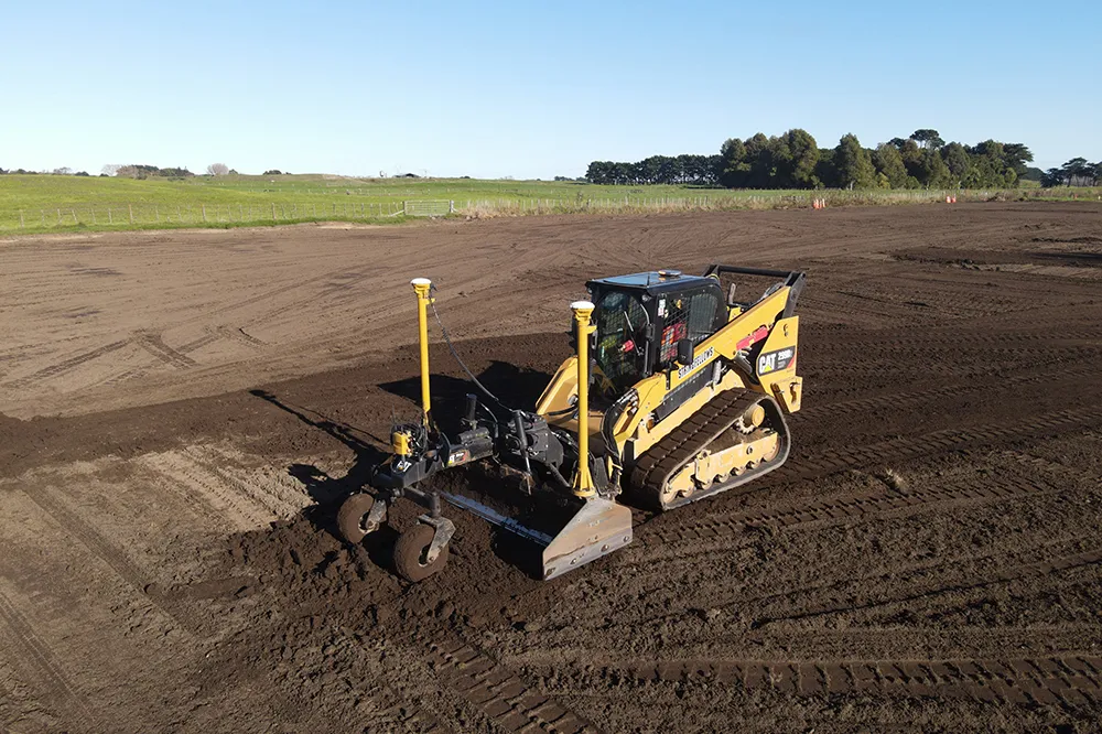
    A construction firm in New Zealand is making good use of machine control technology from Trimble. The technology is helping to reduce costs and boost quality, while also addressing the issue of operator skills.
  • Malaysia’s massive road building project is advancing the use of technology
    August 10, 2020
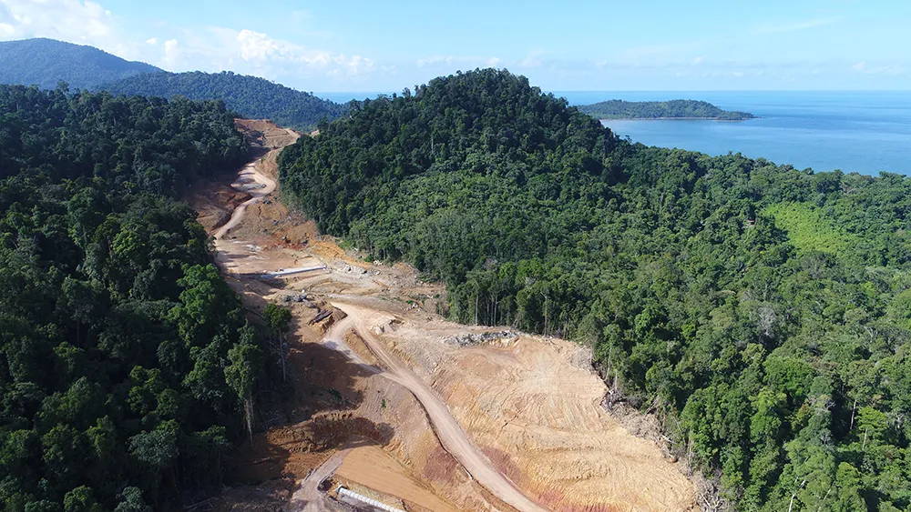
    Malaysia’s huge Pan Borneo Highway project is benefiting from the use of some of the latest technologies in its planning, design and construction