Accurate laser scanning with Leica Geosystems

A new handheld imaging laser scanner from Leica Geosystems is said to offer high efficiency for surveyors.
February 6, 2020 Read time: 1 min
Fast laser surveying is possible with the new tool from Leica Geosystems

The BLK2GO handheld imaging laser scanner is said to be the first-of-its-kind mobile scanner that can scan complex spaces efficiently and quickly due to its LiDAR, SLAM (simultaneous localisation and mapping) and edge computing technologies.

The laser scanner can capture 3D environments while the user is in motion, and generate 3D point clouds continuously. Compact in design, the unit allows access to spaces that may have been difficult or impossible to scan before.

Combining two-axis LiDAR with visual SLAM technologies, the BLK2GO will accurately follow a user’s trajectory while scanning. When used with the iOS app, users can get live feedback, check the device status, or do quick data inspection.

For more information on companies in this article

Related Content

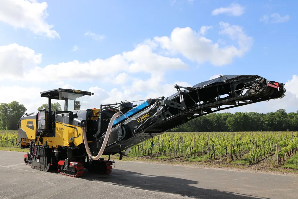
  • Slim design, efficient removal: New generation of large cold planers from BOMAG
    September 1, 2021
    Bomag launches its new BM/65 series of cold planers in early September 2021. With a CECE operating weight of only 27 tonnes, the BM 2000/65 is the lightest planer currently available in the 2-metre class. Its low weight achieved by the special lightweight design and the shorter conveyor belt now make the planers even more flexible to use. When it comes to efficiency, ease of operation and work safety, the new generation of planers features numerous innovative details
  • Scottish trial for OTT HydroMet’s ecoLog 1000
    April 25, 2022
    An OTT ecoLog 1000 water level logger with cellular data connection to Hydromet Cloud was trialled upon the Vales Burn Bridge in Scotland.
  • Topcon’s latest tool for total station connectivity
    April 4, 2017
    Topcon is introducing its MAGNET Construct 2.0 app to deliver connectivity between more instruments. The MAGNET Construct 2.0 is the firm’s next generation app that is intended to drive a wide variety of Topcon total stations from a user’s smartphone or tablet. The first version of the app was purpose-built to drive the LN-100 Layout Navigator system alone. This unit is now available for most Topcon instruments and can run from Android devices or the latest Apple iPhone, iPad, or iPod Touch hardware. Accord
  • Smarter compaction technology in use in Missouri
    October 2, 2018
    Intelligent compaction and infrared scanning technologies have been used to improve construction quality The Missouri Department of Transportation (MoDOT) carried out a year-long project throughout 2017 to demonstrate the use of intelligent compaction (IC), infrared scanning (IR), and Veta software to improve pavement construction operations. “We were looking for ways to assess quality in asphalt projects,” said Bill Stone, research administrator at MoDOT. “We are working towards better pavements that l