Accurate laser scanning with Leica Geosystems

A new handheld imaging laser scanner from Leica Geosystems is said to offer high efficiency for surveyors.
February 6, 2020 Read time: 1 min
Fast laser surveying is possible with the new tool from Leica Geosystems

The BLK2GO handheld imaging laser scanner is said to be the first-of-its-kind mobile scanner that can scan complex spaces efficiently and quickly due to its LiDAR, SLAM (simultaneous localisation and mapping) and edge computing technologies.

The laser scanner can capture 3D environments while the user is in motion, and generate 3D point clouds continuously. Compact in design, the unit allows access to spaces that may have been difficult or impossible to scan before.

Combining two-axis LiDAR with visual SLAM technologies, the BLK2GO will accurately follow a user’s trajectory while scanning. When used with the iOS app, users can get live feedback, check the device status, or do quick data inspection.

For more information on companies in this article

Related Content

  • Seeing is believing: Peri’s XR Ecosystem
    October 27, 2022
    The future of formwork is in 3-D, thanks to Peri’s XR Ecosystem, an augmented reality tool to help on-site employees with formwork assembly.
  • Trends in compaction machine technology
    February 20, 2012
    More efficient and productive compaction solutions are coming to market shortly, Mike Woof reports. Several key trends are emerging in the asphalt compaction market with the development of the latest generation machines. Performance and productivity remain key issues for compactor manufacturers with firms keen to maximise output from their latest units.
  • Control systems boost soil compaction efficiency
    December 20, 2013
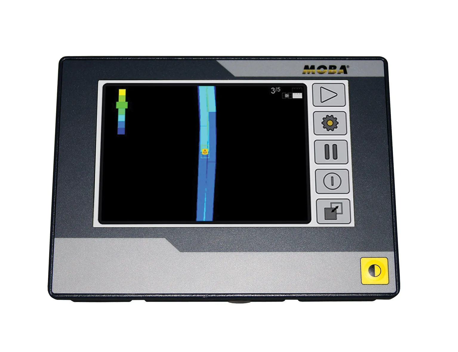
    German firm MOBA is now offering a tool that can help boost the efficiency of soil compaction operations. The company’s MOBA MCA-2000 roller system is designed to help the roller driver achieve optimum compaction in earthworks. This is important as the load-bearing capacity of the subgrade of a construction site can be crucial and material compaction is vital. Uniform compaction can prevent subsequent plastic deformations and ground settling. But whether an area has been compacted to the specification is d
  • Topcon unveils FC-336 date controller
    March 27, 2014
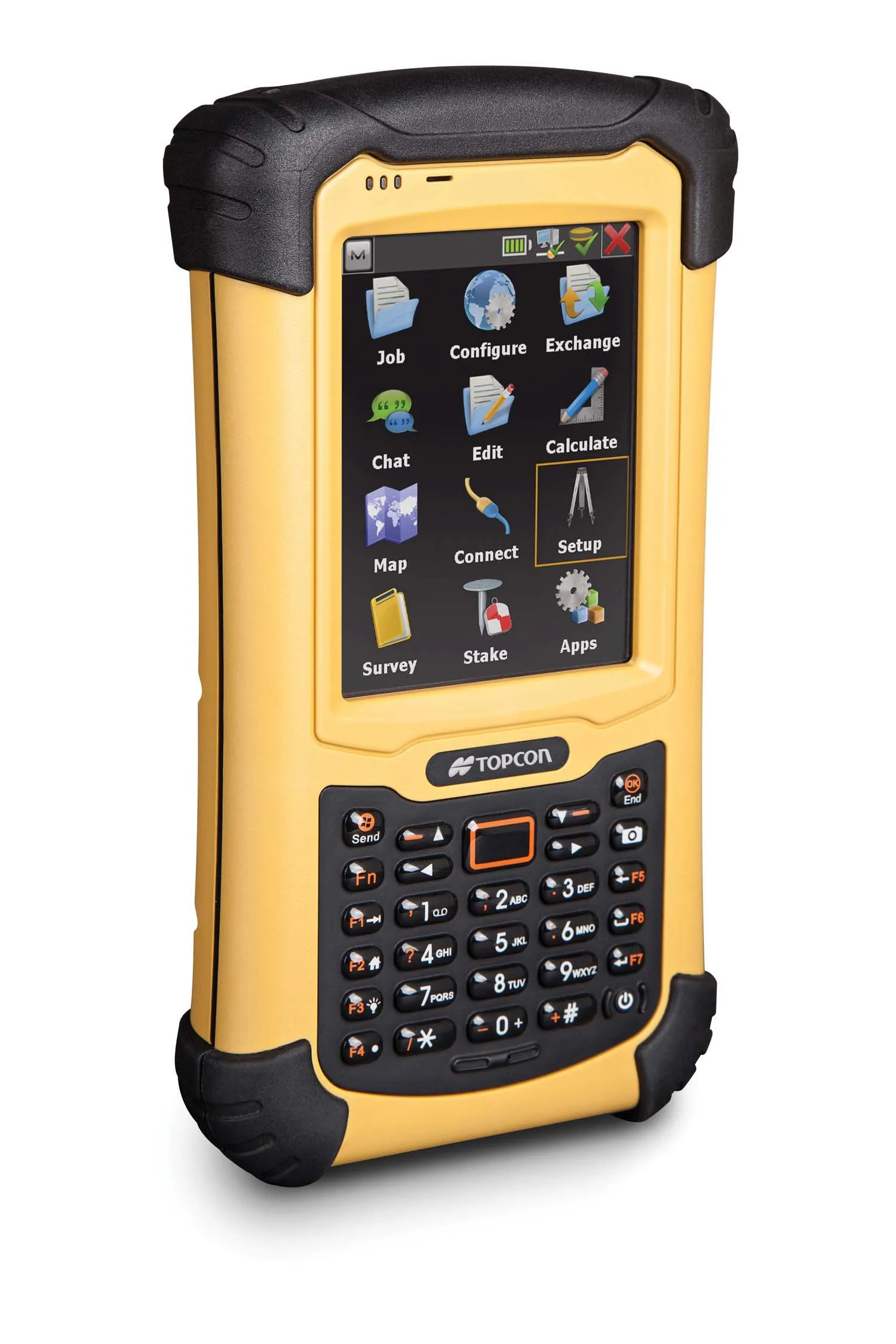
    Topcon has unveiled its new FC-336 data controller designed specifically for the construction industry. In addition to providing field crews with access to MAGNET Enterprise to send and receive data files, the new controller operates with Topcon MAGNET Field, Site and Layout software, as well as Topcon Pocket 3D. A compact and lightweight handheld controller, the FC-336 works with all Topcon GNSS receivers and total stations.