Topcon partnership for photogrammetry

Topcon Positioning is establishing a new partnership for photogrammetry technology. The deal has been struck with digital photogrammetric solution provider Agisoft. This move will further expand the Topcon portfolio of solutions for mass data collection (MDC). Agisoft is a leader in the processing of digital imagery for generating high-accuracy 3D spatial data using photogrammetric and computer vision techniques. Topcon will provide the Agisoft Photogrammetric Kit for Topcon – Professional Edition software
December 7, 2015 Read time: 1 min
342 Topcon Positioning is establishing a new partnership for photogrammetry technology. The deal has been struck with digital photogrammetric solution provider Agisoft. This move will further expand the Topcon portfolio of solutions for mass data collection (MDC).

Agisoft is a leader in the processing of digital imagery for generating high-accuracy 3D spatial data using photogrammetric and computer vision techniques. Topcon will provide the Agisoft Photogrammetric Kit for Topcon – Professional Edition software for post-processing of data collected using the Falcon 8 and Sirius Pro unmanned aerial systems (UAS).

Features include photogrammetric triangulation, dense point-cloud editing and classification, digital terrain or surface model export to a variety of formats including georeferenced orthomosiac production (including GeoTIFF and KML export), multi-spectral imagery processing, 3D model generation and texturing, as well as full measurement analysis tools.

For more information on companies in this article

Related Content

  • Topcon expanding operations with acquisition
    February 21, 2018
    Topcon Corporation has acquired all the outstanding shares of ClearEdge3D for an undisclosed sum. This deal adds a technology leader in the engineering and construction software industry to Topcon’s portfolio. ClearEdge3D’s EdgeWise software is intended to speed as-built modeling workflows by utilising automated feature extraction algorithms and other patented technologies. Its Verity construction verification software compares laser scan point cloud data of recently completed construction work against
  • Topcon’s partnerships
    May 20, 2019
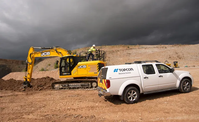
    Topcon has been striking key deals with manufacturers of earthmoving machines to supply machine control packages. The firm has set up arrangements with both JCB and Volvo CE for its sophisticated packages, which will help customers to optimise operations. JCB's new X-Series excavator is now being offered with a sophisticated machine guidance system from Topcon Positioning, which is said to boost productivity by up to 30%. A result of a collaboration between JCB and Topcon Positioning Group, the Topco
  • Topcon announces increased integration with Autodesk scanning software
    June 2, 2016
    Topcon Positioning Group has announced increased integration in the Autodesk and Topcon reality data workflow that it says is designed to increase project efficiency. Raw scan data from the Topcon GLS-2000 laser scanner can now be taken directly into Autodesk ReCap 360 and ReCap 360 Pro with no intermediate software conversion steps necessary. Topcon said that this integration is designed to streamline point cloud analysis to quickly identify conflicts, measure variations and make adjustments at vari
  • LiDAR surveying is making inroads into asset management
    December 18, 2017
    In the coming age of the autonomous vehicle, fast and accurate LiDAR surveying will be increasingly important, explains Valdis Vanags. The game-changing introduction of autonomous vehicles relies not only on intelligent traffic systems but well maintained roads to help computer-guided systems navigate using road markings. Laser scanning technology, too, is a game changer when it comes to planning and executing many civil engineering projects, including transport network upgrades and smart city initiatives.