Topcon announces increased integration with Autodesk scanning software

Topcon Positioning Group has announced increased integration in the Autodesk and Topcon reality data workflow that it says is designed to increase project efficiency. Raw scan data from the Topcon GLS-2000 laser scanner can now be taken directly into Autodesk ReCap 360 and ReCap 360 Pro with no intermediate software conversion steps necessary. Topcon said that this integration is designed to streamline point cloud analysis to quickly identify conflicts, measure variations and make adjustments at vari
June 2, 2016 Read time: 2 mins
342 Topcon Positioning Group has announced increased integration in the 685 Autodesk and Topcon reality data workflow that it says is designed to increase project efficiency.

Raw scan data from the Topcon GLS-2000 laser scanner can now be taken directly into Autodesk ReCap 360 and ReCap 360 Pro with no intermediate software conversion steps necessary.

Topcon said that this integration is designed to streamline point cloud analysis to quickly identify conflicts, measure variations and make adjustments at various stages of a construction project.

Charles Rihner, vice president of the Topcon GeoPositioning Solutions Group, said that the Topcon and Autodesk BIM solution, users can speed up the process by now directly importing their scan data into ReCap 360 and 360 Pro for every step of the point cloud process. This includes registration – but for Pro only - cleanup, indexing, segmentation and more. “Once in ReCap 360 or Pro, reality data captured with the Topcon GLS-2000 is ready for consumption in any Autodesk software solution such as AutoCAD, Revit, Inventor, Navisworks, Infraworks, and 3ds Max,” he said.

The system’s “Capture, Process and Collaborate” workflow is designed to allow users to get to the collaboration stage and offer their customers the value of the point cloud more quickly.

“With these new versions of ReCap 360 and Pro, our capture workflow is now even faster allowing our users to get more accurate data to and from the field faster than ever,” said Rihner.

Topcon Positioning Group designs, manufactures and distributes precise positioning products and solutions for the global surveying, construction, agriculture, civil engineering, BIM, mapping and GIS, asset management and mobile control markets. Its brands include Topcon, Sokkia, Tierra, Wachendorff Elektronik, Digi-Star, RDS Technology, NORAC and 2LS.

For more information on companies in this article

Related Content

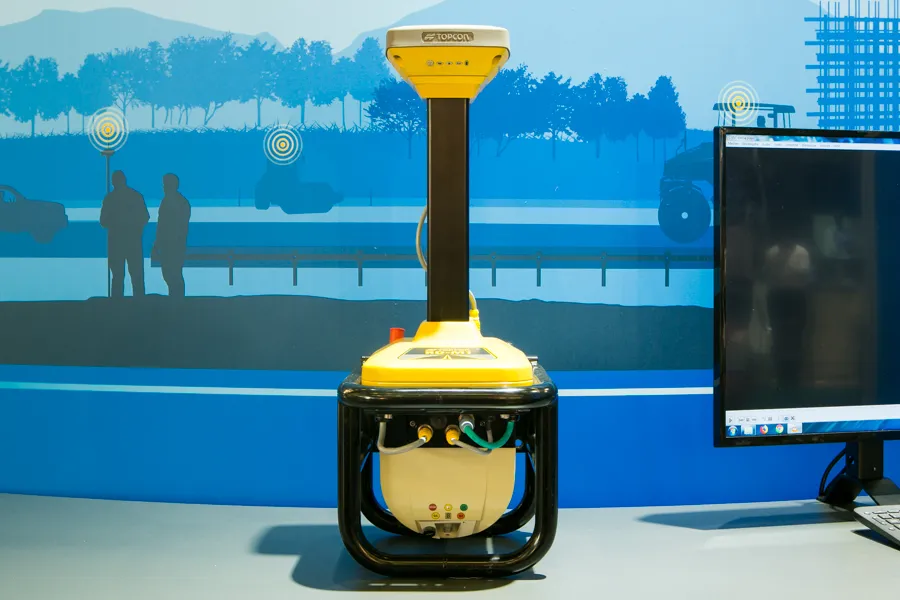
  • Topcon’s efficient Smoothride package offers high quality road resurfacing
    April 27, 2018
    The latest Smoothride system for road resurfacing from Topcon Positioning offers improved quality and efficiency for road construction. Ulrich Hermanski, vice president of Construction Business EMEA at the firm, said: “What we have in road construction, no-one else has.” The system combines sonic controls and GPS, providing high accuracy. The complete package includes road scanning technology that can be used to track road conditions and determine slope, gradient and wear. Hermanski said: “The thing that i
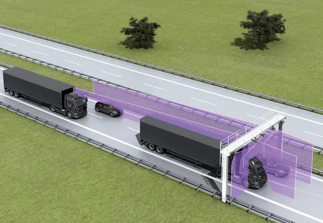
  • SICK’s Free Flow Profiler scans vehicles on the move
    August 27, 2019
    SICK has launched the Free Flow Profiler vehicle measurement system that enables highly accurate 3D profiling of vehicles across multiple lanes in free-flow traffic
  • Trimble's ruggedised tablet for site use
    May 15, 2019
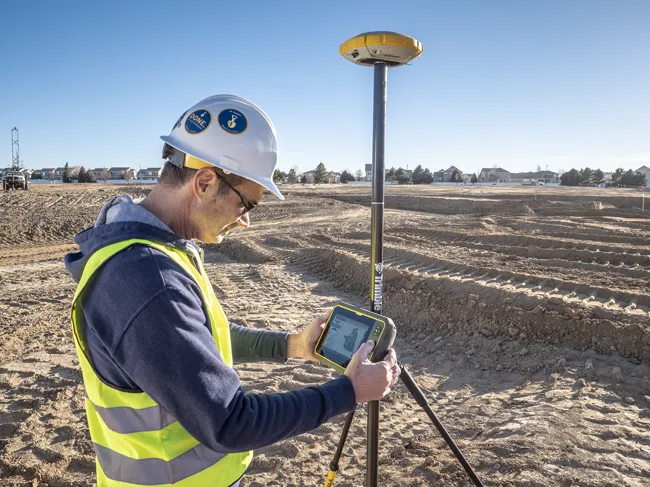
    Trimble is now offering its T7 Tablet, a rugged, lightweight and versatile device for construction surveying applications. The unit features the Trimble Siteworks Software for construction surveying, allowing it to provide real-time data to visualise cut/fill levels, calculate material volumes, check grade and communicate work orders. This can allow users to to improve productivity and decision-making. Scott Crozier, general manager for Trimble’s Civil Engineering and Construction Division said, “Surveyors
  • Laser sensors offer range of duties
    October 17, 2012
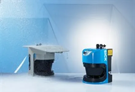
    Sick UK says its new LMS500 family of laser sensors achieves new levels of high-speed and consistent performance in adverse highway conditions. “The incontrovertible rule in laser measurement used to be – if you can’t see it, the laser can’t see it, but with the LMS500 this is no longer true,” said Tim Stokes, SICK UK laser sensor specialist. “These hard-working sensors ignore spray, smoke and dust and cope with rain, snow, ice and fog. They will operate reliably for applications such as vehicle spacing, sp