Topcon announces increased integration with Autodesk scanning software

Topcon Positioning Group has announced increased integration in the Autodesk and Topcon reality data workflow that it says is designed to increase project efficiency. Raw scan data from the Topcon GLS-2000 laser scanner can now be taken directly into Autodesk ReCap 360 and ReCap 360 Pro with no intermediate software conversion steps necessary. Topcon said that this integration is designed to streamline point cloud analysis to quickly identify conflicts, measure variations and make adjustments at vari
June 2, 2016 Read time: 2 mins
342 Topcon Positioning Group has announced increased integration in the 685 Autodesk and Topcon reality data workflow that it says is designed to increase project efficiency.

Raw scan data from the Topcon GLS-2000 laser scanner can now be taken directly into Autodesk ReCap 360 and ReCap 360 Pro with no intermediate software conversion steps necessary.

Topcon said that this integration is designed to streamline point cloud analysis to quickly identify conflicts, measure variations and make adjustments at various stages of a construction project.

Charles Rihner, vice president of the Topcon GeoPositioning Solutions Group, said that the Topcon and Autodesk BIM solution, users can speed up the process by now directly importing their scan data into ReCap 360 and 360 Pro for every step of the point cloud process. This includes registration – but for Pro only - cleanup, indexing, segmentation and more. “Once in ReCap 360 or Pro, reality data captured with the Topcon GLS-2000 is ready for consumption in any Autodesk software solution such as AutoCAD, Revit, Inventor, Navisworks, Infraworks, and 3ds Max,” he said.

The system’s “Capture, Process and Collaborate” workflow is designed to allow users to get to the collaboration stage and offer their customers the value of the point cloud more quickly.

“With these new versions of ReCap 360 and Pro, our capture workflow is now even faster allowing our users to get more accurate data to and from the field faster than ever,” said Rihner.

Topcon Positioning Group designs, manufactures and distributes precise positioning products and solutions for the global surveying, construction, agriculture, civil engineering, BIM, mapping and GIS, asset management and mobile control markets. Its brands include Topcon, Sokkia, Tierra, Wachendorff Elektronik, Digi-Star, RDS Technology, NORAC and 2LS.

For more information on companies in this article

Related Content

  • Software innovations benefit construction planning
    February 9, 2012
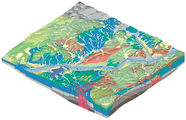
    Bentley Systems remains bullish with a healthy financial performance and continued investment in research and development, reports Mike Woof. The State Geological Institute of Dionyz Stur in Slovakia won an award in the Bentley Systems Be Inspired event's geotechnical category for an innovative project to log and analyse an area of the country's geology. As a leading player in the construction software sector, Bentley Systems is benefiting from growth in infrastructure investment worldwide. And despite the
  • Topcon to smoothen roads with SmoothRide system
    February 28, 2018
    Topcon Positioning has developed a sophisticated package that can help deliver better road surface quality. The firm’s latest SmoothRide data collection package is said to make the mapping of road conditions easier and more efficient. The new RD-M1 Collect 2.0 package has an improved interface and a new graphical interface status bar that indicates the optimum speed for collecting road information based on the project requirements.
  • Topcon expanding operations with acquisition
    February 21, 2018
    Topcon Corporation has acquired all the outstanding shares of ClearEdge3D for an undisclosed sum. This deal adds a technology leader in the engineering and construction software industry to Topcon’s portfolio. ClearEdge3D’s EdgeWise software is intended to speed as-built modeling workflows by utilising automated feature extraction algorithms and other patented technologies. Its Verity construction verification software compares laser scan point cloud data of recently completed construction work against
  • StreetMapper cuts cost of highway surveying projects
    April 20, 2012
    Dutch surveying company Geomaat is capturing millimetre accurate measurements in record times to support a range of highway design, construction and maintenance projects. Using the mobile laser mapping system StreetMapper, and specially developed point cloud software, the company can calculate very accurate cutting, milling and asphalt figures, create as built models and undertake change detection. “In the past, these types of measurement were undertaken using total stations which was time consuming, and