Topcon announces increased integration with Autodesk scanning software

Topcon Positioning Group has announced increased integration in the Autodesk and Topcon reality data workflow that it says is designed to increase project efficiency. Raw scan data from the Topcon GLS-2000 laser scanner can now be taken directly into Autodesk ReCap 360 and ReCap 360 Pro with no intermediate software conversion steps necessary. Topcon said that this integration is designed to streamline point cloud analysis to quickly identify conflicts, measure variations and make adjustments at vari
June 2, 2016 Read time: 2 mins
342 Topcon Positioning Group has announced increased integration in the 685 Autodesk and Topcon reality data workflow that it says is designed to increase project efficiency.

Raw scan data from the Topcon GLS-2000 laser scanner can now be taken directly into Autodesk ReCap 360 and ReCap 360 Pro with no intermediate software conversion steps necessary.

Topcon said that this integration is designed to streamline point cloud analysis to quickly identify conflicts, measure variations and make adjustments at various stages of a construction project.

Charles Rihner, vice president of the Topcon GeoPositioning Solutions Group, said that the Topcon and Autodesk BIM solution, users can speed up the process by now directly importing their scan data into ReCap 360 and 360 Pro for every step of the point cloud process. This includes registration – but for Pro only - cleanup, indexing, segmentation and more. “Once in ReCap 360 or Pro, reality data captured with the Topcon GLS-2000 is ready for consumption in any Autodesk software solution such as AutoCAD, Revit, Inventor, Navisworks, Infraworks, and 3ds Max,” he said.

The system’s “Capture, Process and Collaborate” workflow is designed to allow users to get to the collaboration stage and offer their customers the value of the point cloud more quickly.

“With these new versions of ReCap 360 and Pro, our capture workflow is now even faster allowing our users to get more accurate data to and from the field faster than ever,” said Rihner.

Topcon Positioning Group designs, manufactures and distributes precise positioning products and solutions for the global surveying, construction, agriculture, civil engineering, BIM, mapping and GIS, asset management and mobile control markets. Its brands include Topcon, Sokkia, Tierra, Wachendorff Elektronik, Digi-Star, RDS Technology, NORAC and 2LS.

For more information on companies in this article

Related Content

  • Intelligent excavation control package from Topcon
    February 10, 2016
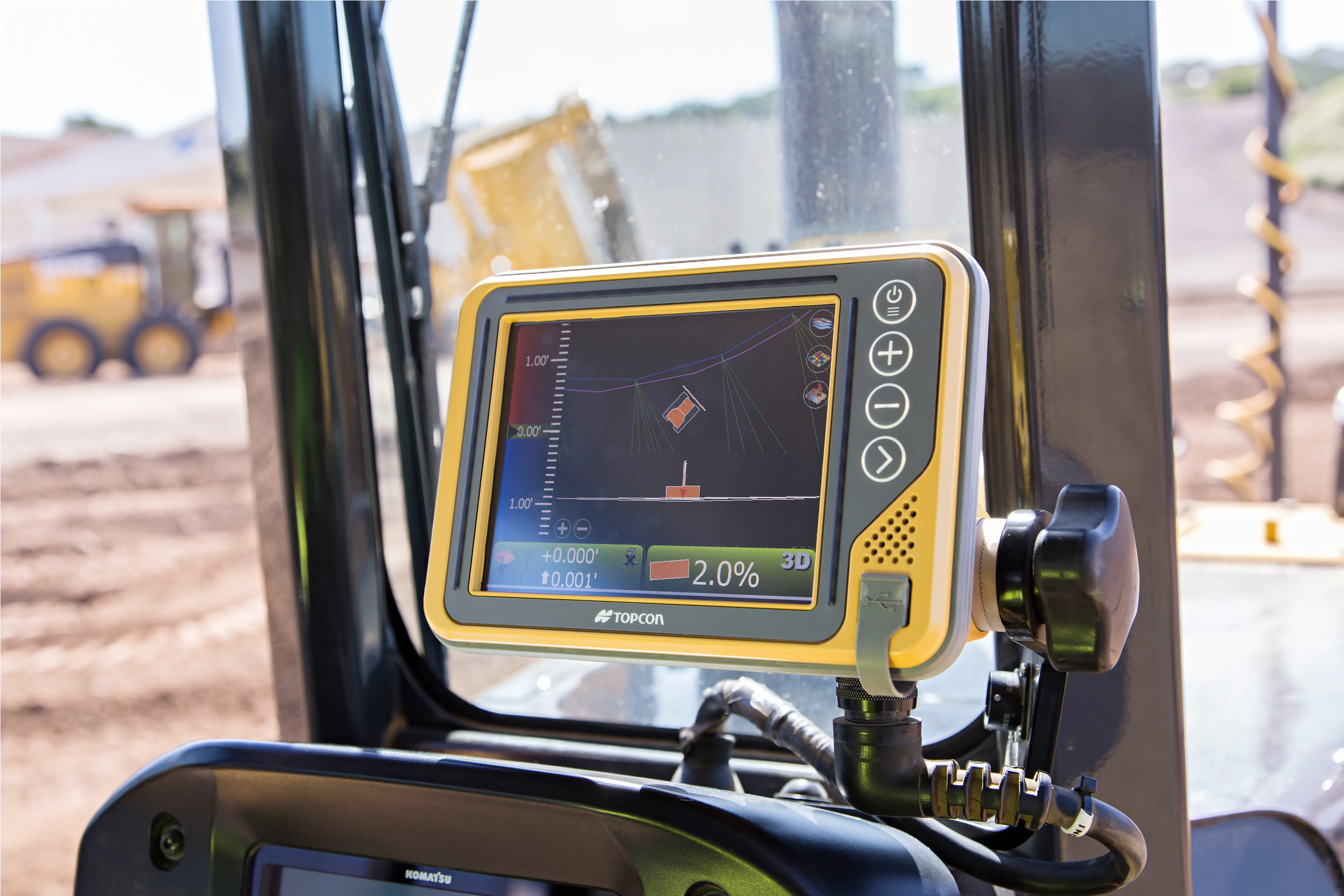
    Topcon Positioning says that its new GX-55 control box offers efficient, machine-controlled excavation capabilities. Along with the release of the GX-55, Topcon is launching three new 2D and 3D systems to its line of excavation solutions. These are the X-52 as well as the X-53 and X-53i. In any solution, the GX-55 system provide users with new visual and audible features to achieve grade safely and efficiently for 2D or 3D excavating tasks. The firm says that the GX-55 is a robust tool that delivers hig
  • Intelligent excavation control package from Topcon
    January 6, 2017
    Topcon Positioning says that its new GX-55 control box offers efficient, machine-controlled excavation capabilities. Along with the release of the GX-55, Topcon is launching three new 2D and 3D systems to its line of excavation solutions. These are the X-52 as well as the X-53 and X-53i. In any solution, the GX-55 system provide users with new visual and audible features to achieve grade safely and efficiently for 2D or 3D excavating tasks. The firm says that the GX-55 is a robust tool that delivers hig
  • Astec Industries gets Indian boost
    December 4, 2012
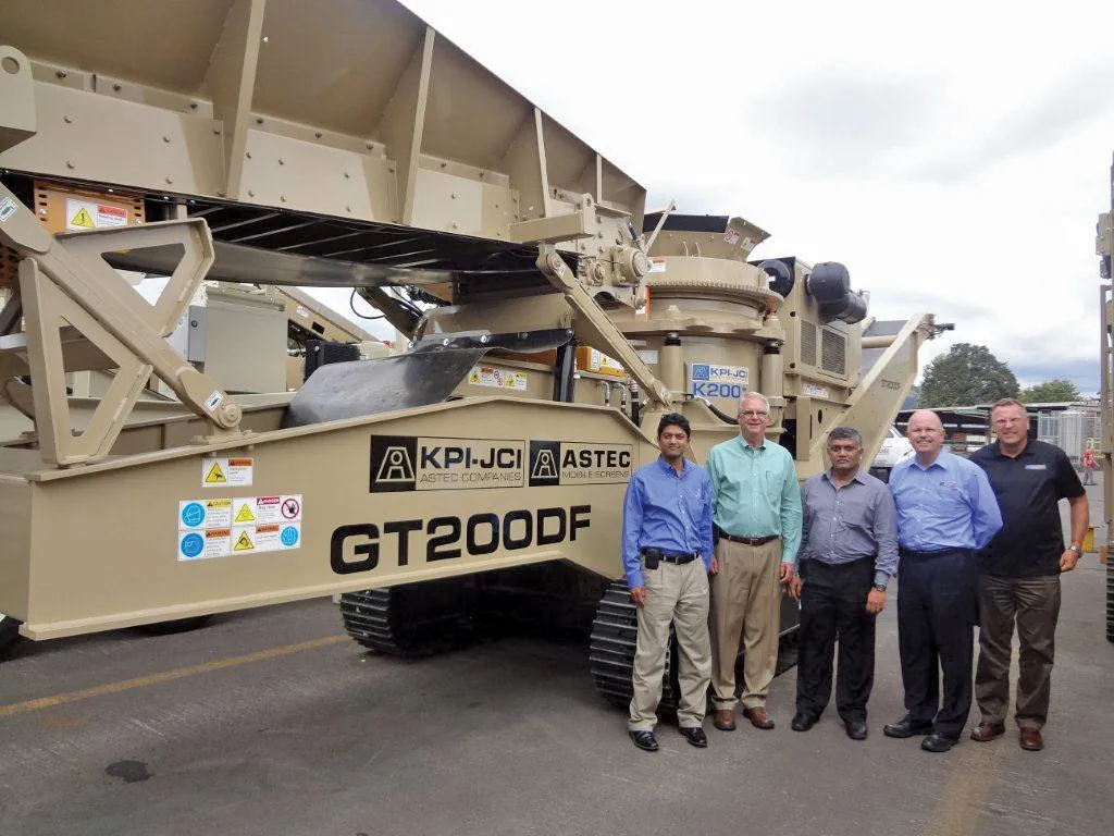
    Astec Industries has unveiled “optimistic plans” for India where the government plans to spend US$600 billion on infrastructure in the coming years. Recently, four US-based companies of Astec Industries hosted two senior executives of Tractors India Limited (TIL) to further cooperation initiatives and strengthen Astec’s market position in India. Utilising its newly-opened state-of-the-art 20,000m² production facility in Kharagpur, West Bengal, TIL will manufacture a range of Astec Aggregate and Mining crush
  • Faster surveying with Leica Geosystems
    June 16, 2016
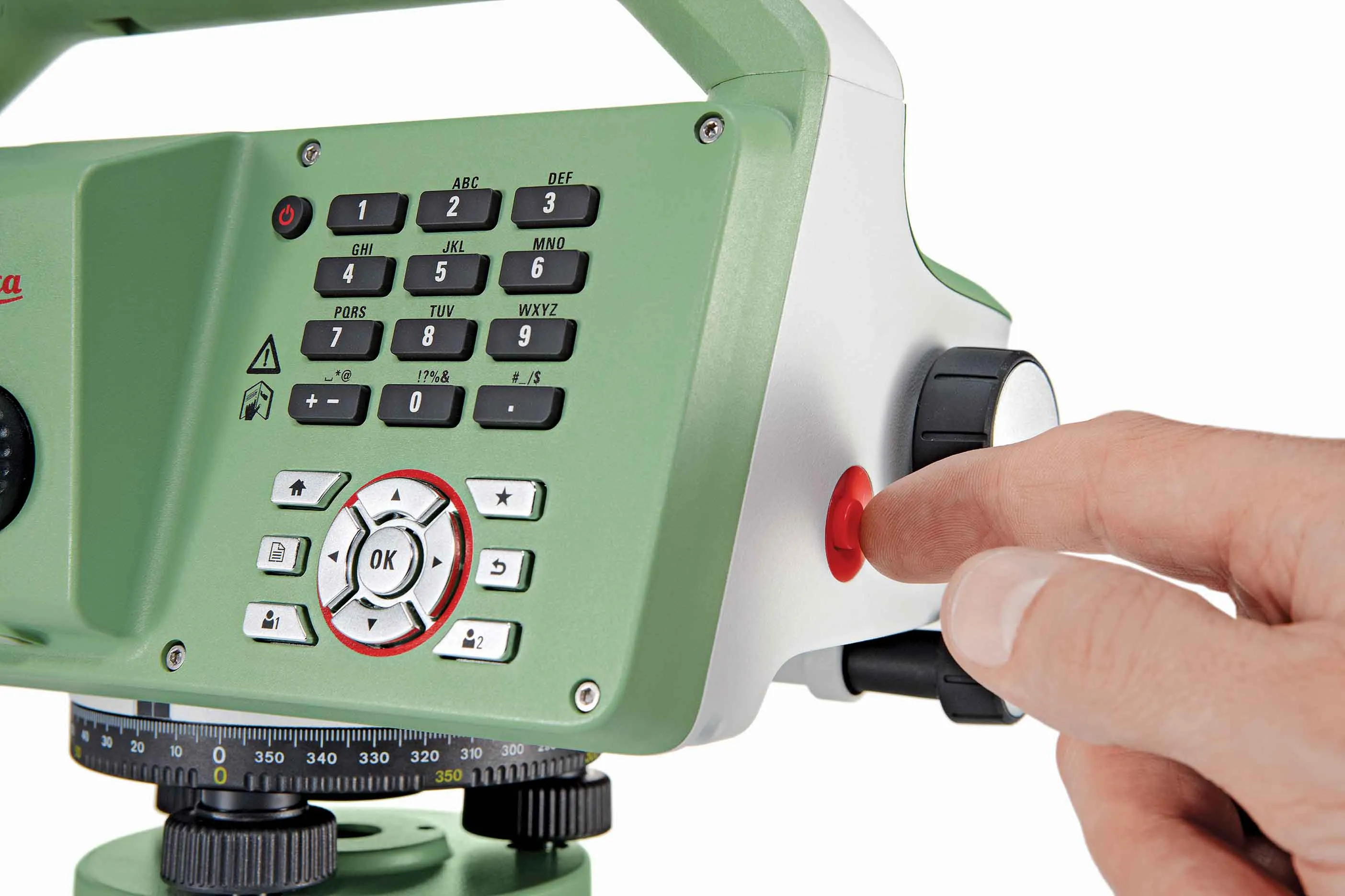
    Leica Geosystems says that the new LS15 tool can be used to complete all the key stages for levelling. The system has a high accuracy of 0.2mm, which can be achieved by aiming at the target via the colour touch display and pressing the measuring button. Key working features include an electronic bubble and tilt checks prior to each measurement and autofocus. These are said to help to reduce fatigue over a shift and help minimise the risk of working errors, ensuring consistently high accuracy of measureme