Topcon announces increased integration with Autodesk scanning software

Topcon Positioning Group has announced increased integration in the Autodesk and Topcon reality data workflow that it says is designed to increase project efficiency. Raw scan data from the Topcon GLS-2000 laser scanner can now be taken directly into Autodesk ReCap 360 and ReCap 360 Pro with no intermediate software conversion steps necessary. Topcon said that this integration is designed to streamline point cloud analysis to quickly identify conflicts, measure variations and make adjustments at vari
June 2, 2016 Read time: 2 mins
342 Topcon Positioning Group has announced increased integration in the 685 Autodesk and Topcon reality data workflow that it says is designed to increase project efficiency.

Raw scan data from the Topcon GLS-2000 laser scanner can now be taken directly into Autodesk ReCap 360 and ReCap 360 Pro with no intermediate software conversion steps necessary.

Topcon said that this integration is designed to streamline point cloud analysis to quickly identify conflicts, measure variations and make adjustments at various stages of a construction project.

Charles Rihner, vice president of the Topcon GeoPositioning Solutions Group, said that the Topcon and Autodesk BIM solution, users can speed up the process by now directly importing their scan data into ReCap 360 and 360 Pro for every step of the point cloud process. This includes registration – but for Pro only - cleanup, indexing, segmentation and more. “Once in ReCap 360 or Pro, reality data captured with the Topcon GLS-2000 is ready for consumption in any Autodesk software solution such as AutoCAD, Revit, Inventor, Navisworks, Infraworks, and 3ds Max,” he said.

The system’s “Capture, Process and Collaborate” workflow is designed to allow users to get to the collaboration stage and offer their customers the value of the point cloud more quickly.

“With these new versions of ReCap 360 and Pro, our capture workflow is now even faster allowing our users to get more accurate data to and from the field faster than ever,” said Rihner.

Topcon Positioning Group designs, manufactures and distributes precise positioning products and solutions for the global surveying, construction, agriculture, civil engineering, BIM, mapping and GIS, asset management and mobile control markets. Its brands include Topcon, Sokkia, Tierra, Wachendorff Elektronik, Digi-Star, RDS Technology, NORAC and 2LS.

For more information on companies in this article

Related Content

  • Leica’s high-tech 5
    August 14, 2012
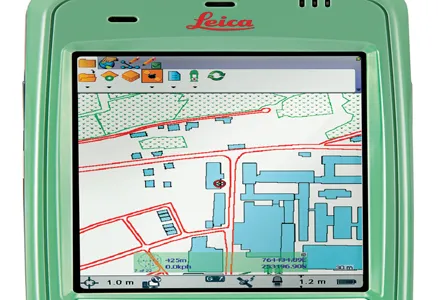
    The new Leica Zeno 5 is said to be an entrylevel, rugged personal digital assistant (PDA) for organisations that require a durable compact device with integrated modem and high-sensitive GPS. The Leica Geosystems technology supports field workers by combining a mobile phone with asset collection and management capabilities. The Leica Zeno 5 is said to be shock resistant, withstands a drop from to 1.8m, and is protected against water and dust. The large 9.4cm screen is optimised for sunlight readability and
  • Accurate surveying with Topcon
    September 24, 2018
    Topcon Positioning Group is expanding its GM range of manual total stations with the addition of the new GM-50. The unit is designed to provide fast and accurate measurements in a cost-efficient package. Compact and durable, the GM-50 is said to offer high performance and functionality for jobs such as site layout or as-built survey, according to the firm. The beam is designed to offer a rapid distance measurement of 0.9 seconds regardless of the target. The iM-50 EDM features a prism range of up to 4,000m
  • Transtec launches Command Center 2.0 for concrete monitoring
    February 27, 2017
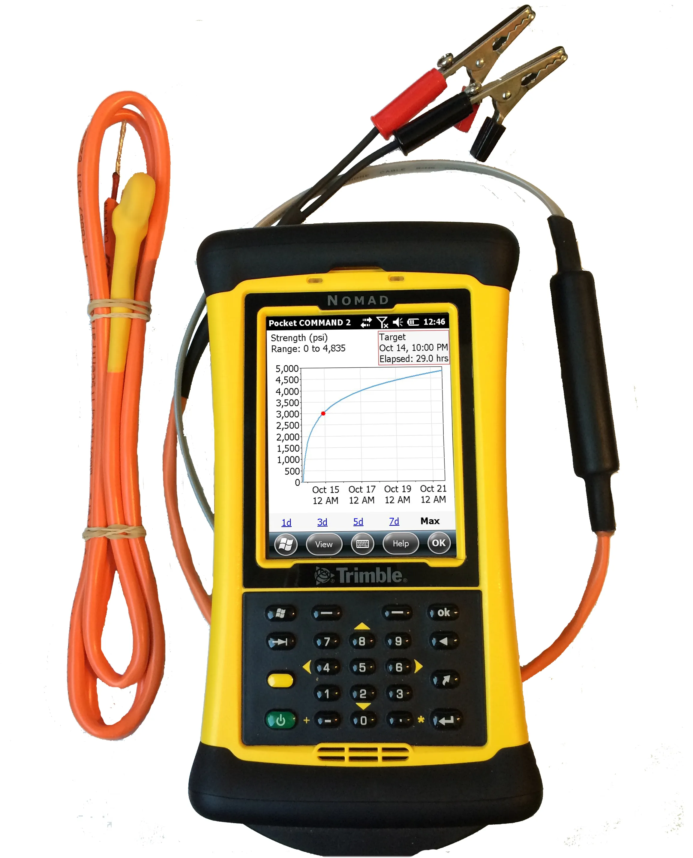
    Transtec Group has launched what it says is a powerful upgrade for concrete maturity and temperature monitoring. Command Center 2.0 (CC 2.0) includes updated desktop and mobile software, improved readers for data collection and a more durable, highly visible sensor cable.
  • Optimising crushing and screening efficiency with Haver & Boecker
    January 30, 2017
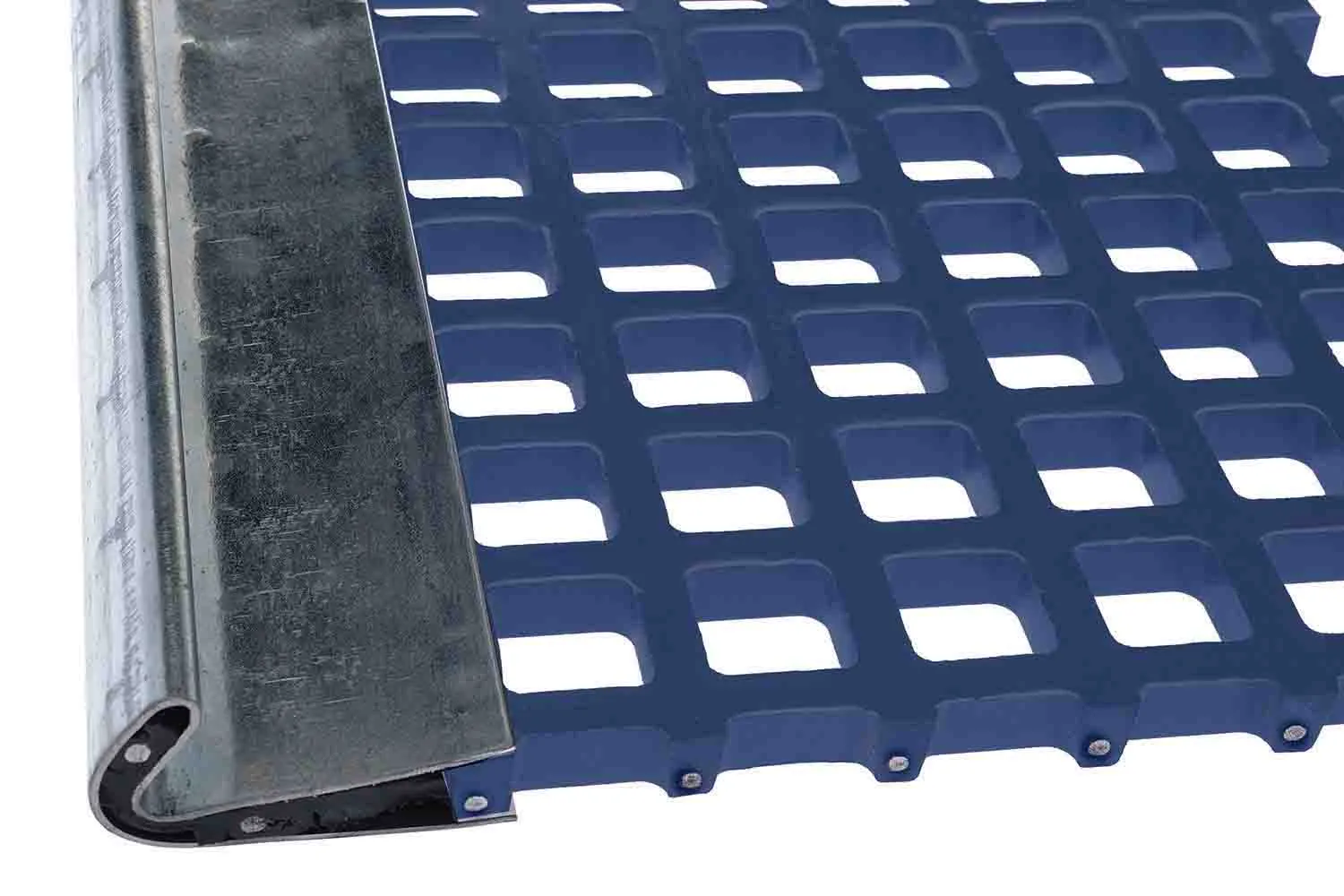
    Haver & Boecker claims that its NIAflow plant simulation software can help producers optimise quarry operations. The company is also offering new screening grid options that can improve screening performance. The NIAflow package can be used to boost the efficiency of plant throughput, realign machine location and deliver product pre-calculations. This package can be used for existing or proposed processes and records plant status as well as identifying plant optimisation options. The software is availabl