Topcon announces increased integration with Autodesk scanning software

Topcon Positioning Group has announced increased integration in the Autodesk and Topcon reality data workflow that it says is designed to increase project efficiency. Raw scan data from the Topcon GLS-2000 laser scanner can now be taken directly into Autodesk ReCap 360 and ReCap 360 Pro with no intermediate software conversion steps necessary. Topcon said that this integration is designed to streamline point cloud analysis to quickly identify conflicts, measure variations and make adjustments at vari
June 2, 2016 Read time: 2 mins
342 Topcon Positioning Group has announced increased integration in the 685 Autodesk and Topcon reality data workflow that it says is designed to increase project efficiency.

Raw scan data from the Topcon GLS-2000 laser scanner can now be taken directly into Autodesk ReCap 360 and ReCap 360 Pro with no intermediate software conversion steps necessary.

Topcon said that this integration is designed to streamline point cloud analysis to quickly identify conflicts, measure variations and make adjustments at various stages of a construction project.

Charles Rihner, vice president of the Topcon GeoPositioning Solutions Group, said that the Topcon and Autodesk BIM solution, users can speed up the process by now directly importing their scan data into ReCap 360 and 360 Pro for every step of the point cloud process. This includes registration – but for Pro only - cleanup, indexing, segmentation and more. “Once in ReCap 360 or Pro, reality data captured with the Topcon GLS-2000 is ready for consumption in any Autodesk software solution such as AutoCAD, Revit, Inventor, Navisworks, Infraworks, and 3ds Max,” he said.

The system’s “Capture, Process and Collaborate” workflow is designed to allow users to get to the collaboration stage and offer their customers the value of the point cloud more quickly.

“With these new versions of ReCap 360 and Pro, our capture workflow is now even faster allowing our users to get more accurate data to and from the field faster than ever,” said Rihner.

Topcon Positioning Group designs, manufactures and distributes precise positioning products and solutions for the global surveying, construction, agriculture, civil engineering, BIM, mapping and GIS, asset management and mobile control markets. Its brands include Topcon, Sokkia, Tierra, Wachendorff Elektronik, Digi-Star, RDS Technology, NORAC and 2LS.

For more information on companies in this article

Related Content

  • New radio wave technology assesses asphalt integrity
    March 14, 2017
    Real time information on asphalt density and uniformity can boost construction quality - *Roger Roberts, GSSI. Properly compacted asphalt is a major factor in the lifespan of a road, as inadequately compacted asphalt deteriorates at a more rapid rate than properly compacted material. With the billions spent on road construction and repairs each year, it has become a matter of urgency to find new technologies that can ensure the integrity of asphalt on newly paved roads. New radio wave technology is now avai
  • Software firm acquired by Bluebeam
    June 18, 2018
    Technology specialist Bluebeam is broadening its portfolio with the acquisition of the privately owned firm Project Atlas. The purchase will expand Bluebeam’s capabilities as Project Atlas developed a digital mapping engine that uses geo-location instead of traditional folder structures to organise and visualise 2D plans and construction data. This location-based orientation allows design and construction professionals to create and search a digital map of their project that contains plans, people, material
  • 3D Repo develop virtual reality safety app for Balfour Beatty
    April 18, 2017
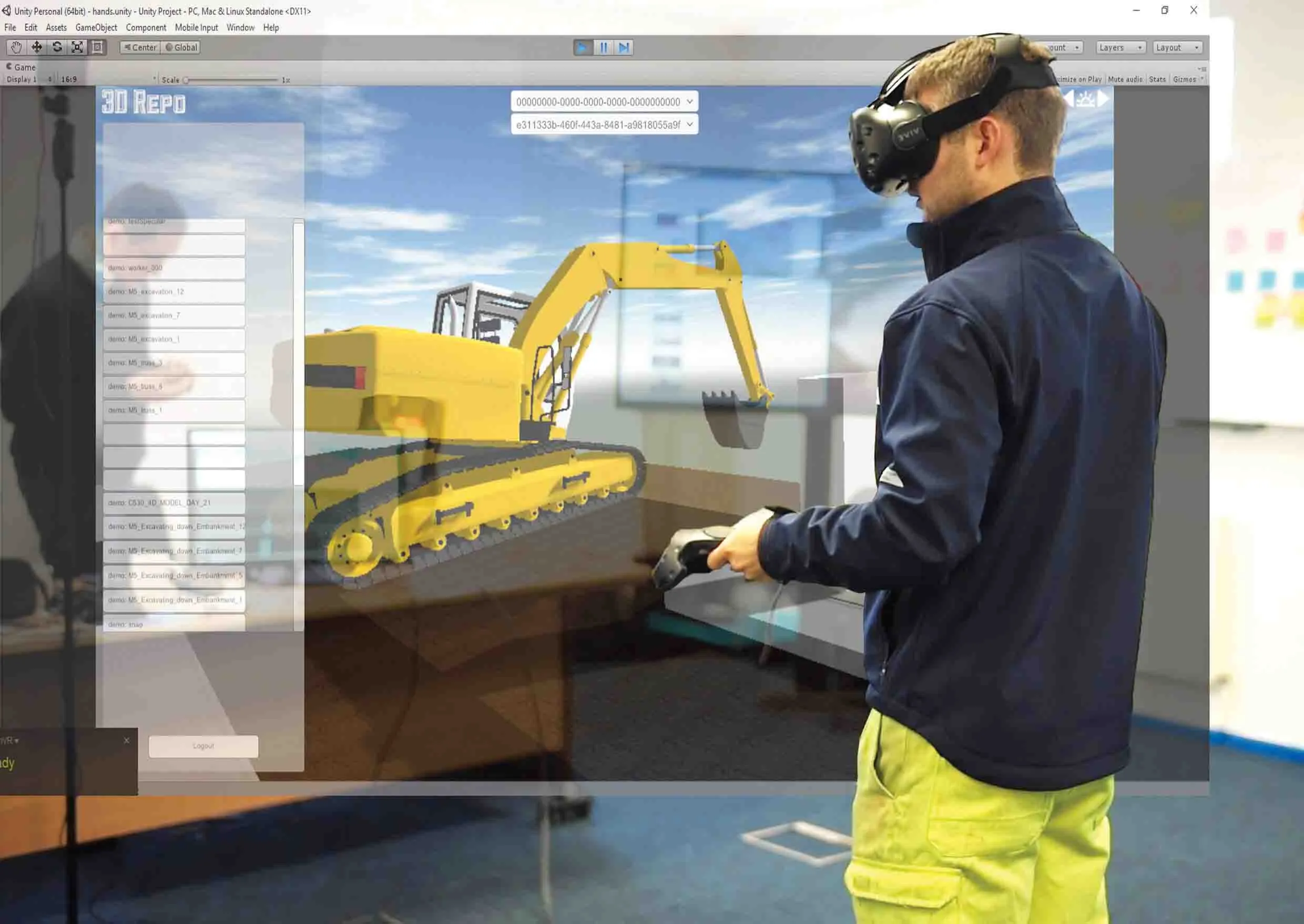
    3D Repo is working with contractors Balfour Beatty and Vinci and the UK roads agency Highways England to deploy a virtual reality simulation program for safety training. 3D Repo, a spin-off from University College London, develops open-source software for building information modelling in the cloud. More than 40 different 3D file formats are decomposed and federated in the company’s big data repository.
  • The UK Highways Agency engages Fugro for Doppler laser surveying
    January 6, 2015
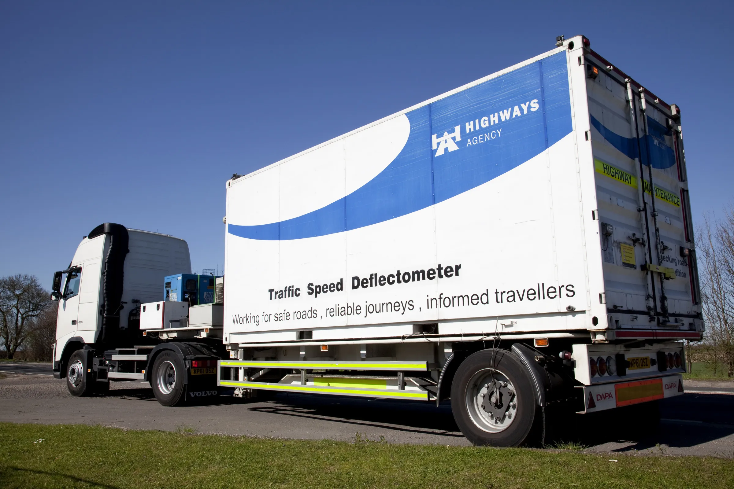
    The United Kingdom’s Highways Agency has awarded its first commercial contract to survey thousands of road lanes using sophisticated Doppler laser equipment. Fugro is driving the project forward, reports David Arminas The Highways Agency Traffic Speed Defelectometer vehicle looks like an ordinary flatbed truck delivering a similarly ordinary steel shipping container. But looks are deceiving. Inside the container is a sophisticated Doppler laser measuring system collecting pavement condition data of the U