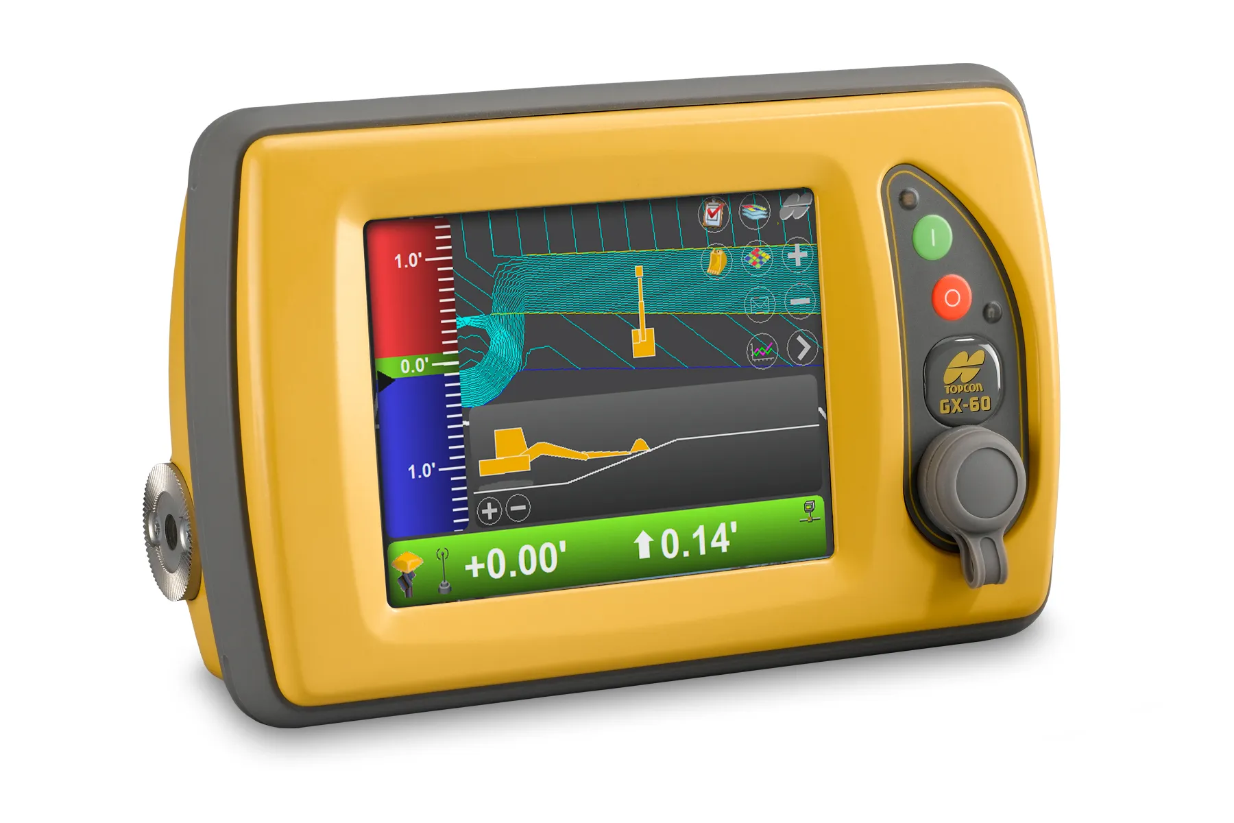
Topcon Positioning Group and Bentley Systems have set up direct communication between Bentley’s design applications and Topcon mobile work force products with the upcoming MAGNET 4.0 release.
With the direct communication from MAGNET Enterprise to Bentley’s ProjectWise, users of Topcon’s family of MAGNET and 3D-MC software solutions can now, while working in the field, access or receive i-models created by Bentley’s OpenRoads design modeling technology.
By the end of June, survey data and as-built
June 7, 2016
Read time: 2 mins
With the direct communication from MAGNET Enterprise to Bentley’s ProjectWise, users of Topcon’s family of MAGNET and 3D-MC software solutions can now, while working in the field, access or receive i-models created by Bentley’s OpenRoads design modeling technology.
By the end of June, survey data and as-built conditions captured by Topcon's field devices can be brought back into Bentley's design applications using the same MAGNET to ProjectWise direct connection.
“The direct connection to Bentley’s ProjectWise in MAGNET Enterprise allows project managers to distribute i-models directly to their Topcon field devices,” said Jason Hallett, Topcon vice president of global product management. “With this drag-and-drop functionality, i-models from ProjectWise easily move from the MAGNET Enterprise Data Manager to the mobile work force.”
With the simplified workflow from ProjectWise to machines with a Sitelink3D connection from MAGNET Office or Enterprise, updated models can be quickly sent to a machine, reducing the chance of rework and ensuring the most current data can be sent to project team, said Hallett.
With the upcoming release, users will be able to deliver any MAGNET project files as i-models into ProjectWise for the purpose of capturing as-constructed conditions of infrastructure projects.
Dustin Parkman, Bentley vice president of product development, said that a mobile work force will be able to update i-models directly on the job site and then send them from the field back to ProjectWise with selected data - points, point lists, layers library - directly to an i-model.
“The integration between ProjectWise and MAGNET Enterprise has opened up endless new possibilities for construction-driven engineering workflows using OpenRoads and MAGNET Office,” said Parkman.


