Telensa, a ‘smart’ wireless street lighting technology company, and Streetlight.Vision, the central management software provider for ‘smart’ street light and ‘smart’ street solutions, have announced a strategic partnership to integrate their renowned hardware and software systems. The strategic collaboration will see the two companies’ engineering teams working together to interface Telensa’s PLANet (Public Lighting Active Network) system seamlessly with Streetlight.Vision’s central management software plat
August 9, 2013
Read time: 3 mins
The strategic collaboration will see the two companies’ engineering teams working together to interface Telensa’s PLANet (Public Lighting Active Network) system seamlessly with Streetlight.Vision’s central management software platform.
According to the companies, this partnership will provide street lighting and ‘smart’ grid operators with a compelling, cost-effective and interoperable street lighting management solution designed to significantly reduce energy bills and help meet government carbon emission targets.
UK-based Telensa has sold its systems to over 25 UK local authorities who, between them, monitor over 600,000 street lights. Streetlight.Vision’s industry-leading software is the most widely adopted in the market and used by many cities across 15 countries, including Europe, China, Japan, Korea, Indonesia and South America.
Christophe Orceau, general manager, Streetlight.Vision, said, “We are delighted to be partnering with the UK’s leading ‘smart’ street lighting company to enable Streetlight.Vision end-users to control, command and monitor any luminaire equipped with a Telensa telecell.
“We believe Telensa’s PLANet wireless system is an extremely reliable and cost-effective solution. Together, Telensa and Streetlight.Vision offer a compelling street light control system for any city wanting to drastically save energy and reduce maintenance costs on their street light networks.”
Will Gibson, managing director, Telensa, said, “This partnership effectively brings together the best-of-breed in hardware and software for the street lighting controls industry. Furthermore, giving customers the option to use our radio products and infrastructure with Streetlight.Vision’s software is a positive commercial step for Telensa as Streetlight.Vision has a large installed worldwide customer base.”
Telensa’s PLANet system uses advanced ultra-narrow band wireless technology which, the firm claims, differentiates it from other solutions on the market. Its telecells and dimming modules are fitted to street lights and these connect wirelessly to a base station which accommodates up to 5,000 telecells over a range of 2-3km (urban) and 5-8km (rural).
Many base stations can be deployed in a cellular architecture providing wide area coverage of a region supporting up to 150,000 lights in total. Base stations connect over a regular IP network to Telensa’s own central system server and user interface software, or to a third party such as Streetlight.Vision’s platform.
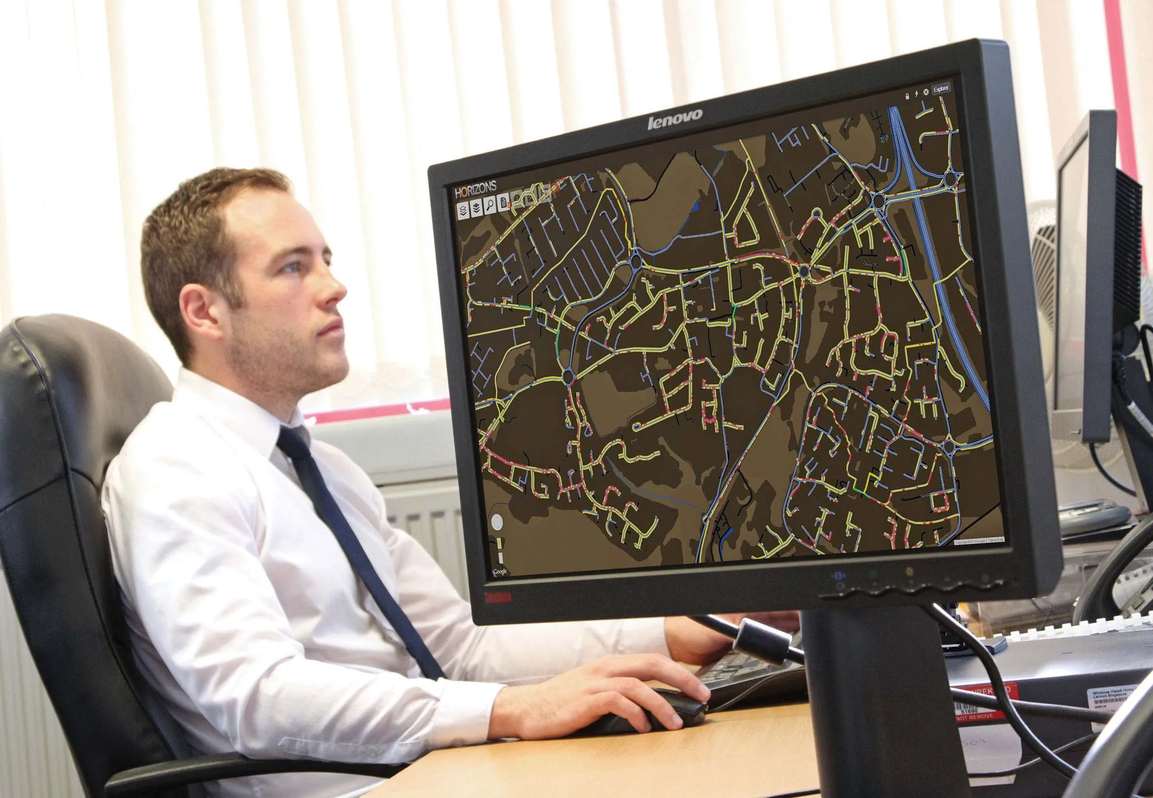
Streetlight.Vision’s open and interoperable central management software platform controls several powerline and radio-frequency technologies and provides the end-user with a unified web interface to control and monitor heterogeneous devices. Features include automatic data collection, equipment inventory, user profile and access rights management, alerts about street light failures including their identification and analysis, central alarm management, real time control on maps and operating reports.
“Interoperability is important to some of our customers and so our ability to interface with the market-leading central management software platform is vital, as is our on-going involvement in standards bodies such as the TALQ Consortium,” Gibson added.


