Technology event in Orlando

Leica Geosystems has opened its Hexagon 2011 technology event, which is running from 7-9 June.
February 28, 2012 Read time: 2 mins
265 Leica Geosystems has opened its Hexagon 2011 technology event, which is running from 7-9 June. Located in the Orlando World Center Marriot Resort in Orlando, Florida, Hexagon 2011 brings together the latest technologies and user communities from Leica Geosystems, Z/I Imaging, as well as Intergraph, and Hexagon Metrology. Juergen Dold, President, Hexagon Geosystems, and Ken Mooyman, President, Hexagon Geosystems NAFTA, will present the featured keynote address for the Geosystems at Hexagon 2011 track. Titled "Advancing Earth's Infrastructure with Measurement Technologies", the keynote provides an overview of how the portfolio of Leica Geosystems and Z/I Imaging solutions, combined with its customers' expertise, address key global challenges and associated macro-trends.

Attendees can learn how Geosystems solutions interface with and leverage Intergraph and Metrology solutions. "Hexagon 2011 unites a broad base of customers and partners from all over the world. These next few days provide an unique opportunity to showcase the synergies across various industries and the importance of measurement technologies in helping our customers meet some of the greatest challenges facing mankind today" said Mooyman.

The Geosystems at Hexagon 2011 track alone features more than 100 targeted breakout sessions tailored into three sub-tracks - "Trends in Mapping & Positioning for Government and Industry", "HDS/Laser Scanning", and "Geospatial Solutions"  incorporating hands-on training courses, previews of new technologies, interactive technical demonstrations and workshops, compelling customer testimonials from today's thought leaders and unlimited networking opportunities.

Employing the theme "Building a Smarter World," Hexagon 2011 emphasizes the ways in which Hexagon empowers organizations to build a smarter world through industry-specific technologies that make processes and infrastructures better, safer and smarter.

For more information on companies in this article

Related Content

  • Topcon and Faro scan new horizons
    August 13, 2012
    Topcon Europe Positioning and FARO has signed a partnership agreement for the distribution of FARO Laser Scanner Focus3D in most European countries, the Middle East and Africa. Sander Jongeleen, product manager for mobile mapping at Topcon Europe Positioning, said: “The Focus3D has been designed for close range laser scanning, and is equipped with a very intuitive user interface. Sitting alongside our GLS-1500, the Focus3D will allow our distribution network to address every segment of the terrestrial scann
  • Software tools aid construction, reduce costs
    February 28, 2012
    Integrated construction software offers an effective planning solution - *Mark Nichols writes. In a world where resources are limited, 20 year designing and building in a sustainable way is more critical than ever. By employing today's software tools it is possible to reduce the total cost of construction of a new highway, while reducing operating costs and environmental impacts. The path to achieving the greatest gains is to take a holistic approach to the plan, design, construct and operate process from t
  • Kenya: Mobilizing partnerships for better road safety data and action
    January 26, 2020
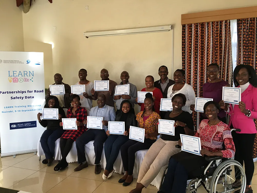
    IRF and the Global Alliance of Road Safety NGOs have hosted the first training of the LEARN project in Nairobi, Kenya.
  • 1st IRF Europe & Central Asia Regional Congress held on in Turkey
    November 18, 2015
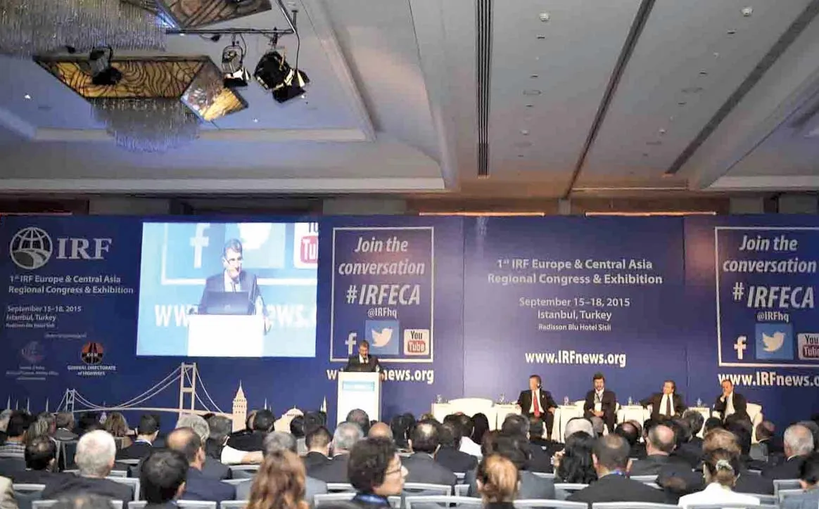
    The International Road Federation (IRF) organised its first Regional Congress & Exhibition in Istanbul, Turkey on 15–18 September, 2015 The IRF is a non-governmental, not-for-profit membership organisation founded in Washington, DC in 1948 with the mission to encourage and promote development and maintenance of better, safer and more sustainable roads and road networks around the world.