Software firm acquired by Bluebeam

Technology specialist Bluebeam is broadening its portfolio with the acquisition of the privately owned firm Project Atlas. The purchase will expand Bluebeam’s capabilities as Project Atlas developed a digital mapping engine that uses geo-location instead of traditional folder structures to organise and visualise 2D plans and construction data. This location-based orientation allows design and construction professionals to create and search a digital map of their project that contains plans, people, material
June 18, 2018 Read time: 2 mins
Technology specialist Bluebeam is broadening its portfolio with the acquisition of the privately owned firm Project Atlas. The purchase will expand Bluebeam’s capabilities as Project Atlas developed a digital mapping engine that uses geo-location instead of traditional folder structures to organise and visualise 2D plans and construction data. This location-based orientation allows design and construction professionals to create and search a digital map of their project that contains plans, people, material, site photos and drone imagery, within highly detailed layers.


“Bluebeam was founded on the idea that powerful AEC solutions should also be easy to use, capable of delivering the right information at the right time while improving the ability of all project partners to collaborate throughout the lifecycle of an entire project,” said Bluebeam CEO Jon Elliott. “We are incredibly excited to add Project Atlas to our portfolio of solutions to continue delivering on this promise. Project Atlas provides users an entirely new way to visually organise and unify location-based documents and data. This location-based methodology dramatically reduces the time it takes to find critical plans and information, empowering owners, architects, engineers, contractors and specialty contractors to access data in an immediately understandable way that will be especially beneficial in the field."

Project Atlas co-founder and Bluebeam VP of business development and partnerships Todd Wynne said, "By working collaboratively using a visual map of a project, customers can understand projects in a familiar context and break down the barriers that often keep information from getting to the people who need it most."

Related Content

  • Cummins expanding electric technology portfolio
    October 17, 2017
    Cummins is expanding its portfolio of electric drive technologies with the acquisition of the assets of Brammo, Inc. The firm designs and develops battery packs for use in mobile and stationary drive applications. The purchase of the Brammo battery pack technology will help boost the range of systems and expertise for Cummins. With this deal Cummins intends to become a global leader in the market for electric drives, complementing its range of compression ignition and turbocharging technologies.
  • US industry groups launch web-based platform PavementDesigner.org
    February 23, 2018
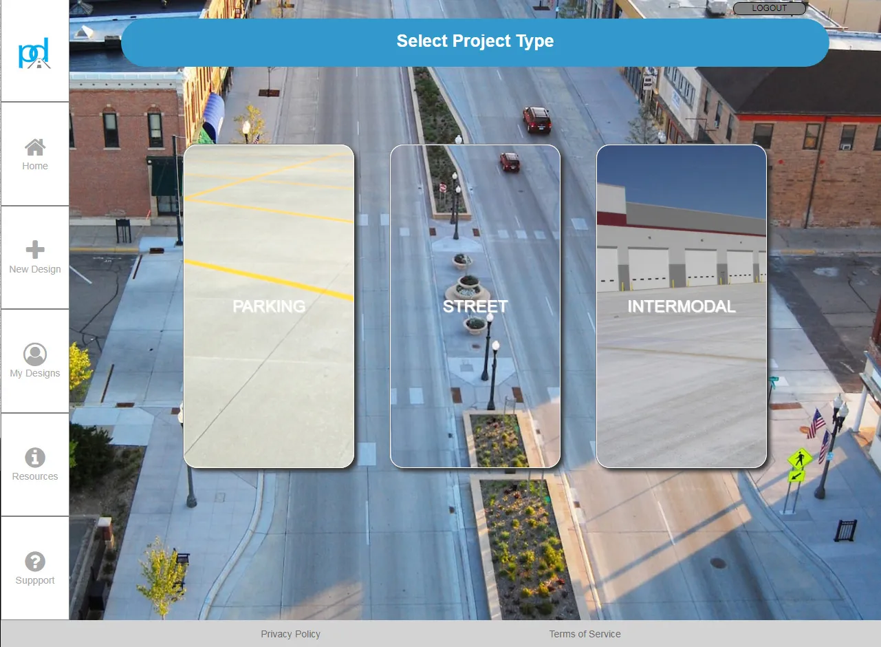
    A new online concrete pavement design tool has been launched in the US by three major cement and concrete organisations. PavementDesigner.org – available free of charge - was created for city, county, and consultant engineers as well as academics and anyone involved in design of roadway, industrial, and parking area pavements. PavementDesigner improves upon traditional pavement design software programs, according to its creators. The platform is being offered completely free of charge by the American
  • Efficient stockpile and site monitoring
    October 23, 2017
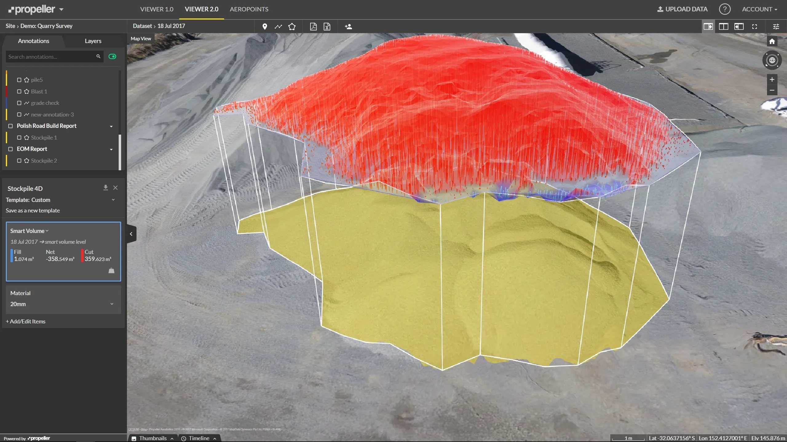
    Effective monitoring of aggregates stockpiles as well as face excavation can deliver greater quarrying efficiency. One of the latest innovations in quarrying is the use of drones, which provide major benefits for optimising operations. The use of affordable drone hardware and software solutions can help reduce stockpile inventory time by as much as 70%. Through the recent partnership between Trimble and Propeller, drone data can now be an everyday tool in quarries by proving a transformational impact
  • Researchers trial 3D printing for both concrete and asphalt roads
    February 27, 2019
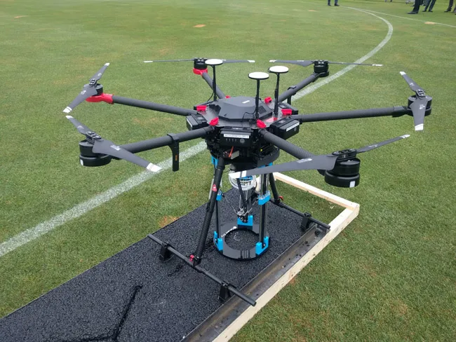
    Automated road repairs, using 3D printing, could save money and vastly reduce disruption, and researchers are already showing it’s possible - Kristina Smith reports It’s the middle of the night, and in the street below a team is busy carrying out repairs to the road surface. But there isn’t a human in sight. A road repair drone has landed at the site of a crack and a 3D asphalt printer is now busy filling in that crack. A group of traffic cone drones have positioned themselves around the repair location