
Scania uses Navteq data for Active Prediction system

Navteq has been selected by Scania to provide map data featuring the accurate, reliable and detailed road attributes essential to its innovative new active prediction system.
March 1, 2012 Read time: 2 mins
3516 Navteq has been selected by 759 Scania to provide map data featuring the accurate, reliable and detailed road attributes essential to its innovative new active prediction system.

Scania has developed a topography based cruise control using Navteq map data which is transferred by a map engine developed by 3402 Continental. By anticipating the upcoming topography of the road, Active Prediction optimises fuel usage by adjusting the cruising speed before starting a descent or ascent, resulting in fuel savings of up to three per cent. The system is able to interpret features on the map, such as precise road geometry, road curvature and slope, and provide the relevant predictive information.

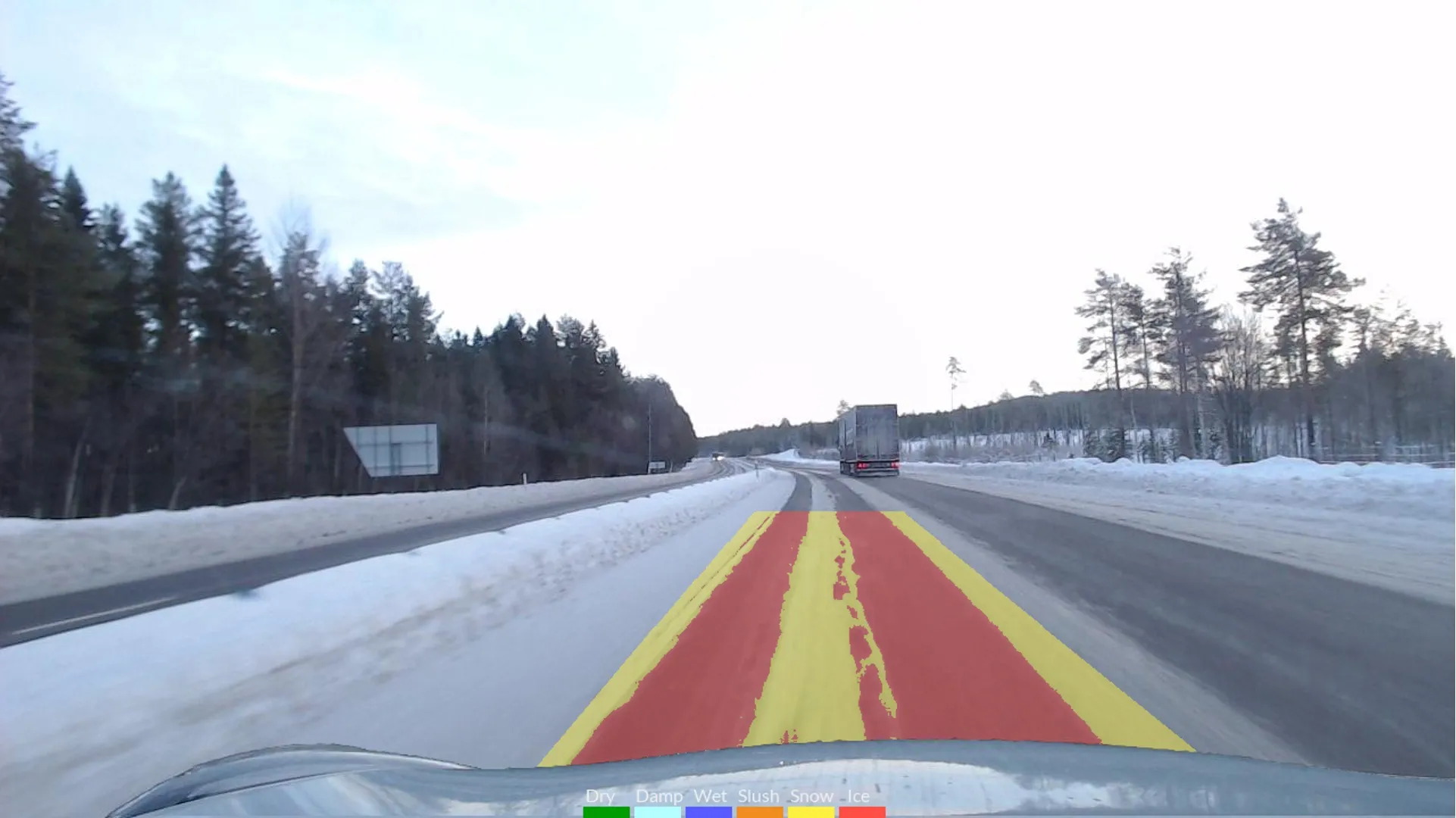
Scania's cruise control with Active Prediction offers maximum benefits on an undulating route where the road is never entirely flat with the major savings achieved by adjusting the speed before a downhill stretch. Less experienced drivers are likely to benefit the most, but highly skilled drivers will also benefit significantly on unknown routes, in the dark or under adverse weather conditions.

“The map data is stored in the Scania Communicator, which already incorporates GPS positioning, and the system interacts with the engine management system to control the speed of the vehicle,” explained Oskar Johansson, head of Engine Torque Control at Scania. “Highly accurate information on the road ahead is vital for this system to operate effectively and the technology used to develop Navteq data is leading the way in enabling next generation maps with attributes which move beyond navigation and support advanced driver assistance systems (ADAS) such as active prediction.”

Currently, Scania active prediction has full coverage of the Western and Central parts of Europe. In other areas or when the GPS signal is lost, the system reverts to a normal cruise control function. The map data is stored in the unit’s memory and can be updated by a Scania service workshop.

For more information on companies in this article

Related Content

  • Klimator to monitor Swedish road conditions
    September 14, 2022
    The project will use Klimator's detection technology called AHEAD which will combine with friction information from floating car data – FCD - to improve the understanding and interpretation of FCD on multiple lanes during winter.
  • Arizona uses 1Spatial for inventory for the FHWA requirements
    February 6, 2017
    The US state of Arizona is using 1Spatial’s technology to send a yearly update of its entire road network to the Federal Highway Administration. As required by law, all state governments must do this and many have created a data set of their road network. But much of this is held at county level. The challenge, now that data has been collected, is how to keep this information up-to-date and accurate. 1Spatial software will automate the data validation process and also the change process. The technology w
  • Bentley’s OpenBridge for Cebu-Cordova link
    February 7, 2024
    The OpenBridge software solution from Bentley Systems played a key role in the development of the Cebu-Cordova bridge project in the Philippines.
  • Innovative GIS software offerings
    July 18, 2012
    The latest construction software developments can speed the construction process overall, Adrian Greeman reports Construction software is by its very nature a very fast moving technology, with new systems coming to the market almost continuously. There are some key developments however, such as major new product launches and market trends. One of the most important developments in the road design sector is the launch of the Bentley Systems V8i versions of its software, including its road design applications