New generation highways condition data collection

Fugro Aperio is launching its SCANNER survey service, which it says offers competitive, efficient and dynamic highways data collection to assist road agencies and local authorities in reporting to National Indicators.
February 21, 2012 Read time: 2 mins
Chris Newson, Fugro Aperio
2929 Fugro Aperio is launching its SCANNER survey service, which it says offers competitive, efficient and dynamic highways data collection to assist road agencies and local authorities in reporting to National Indicators.

Chris Newson has joined the company, part of the Fugro group of companies, as network services manager to head up the company’s newly-formed road condition scanning business.

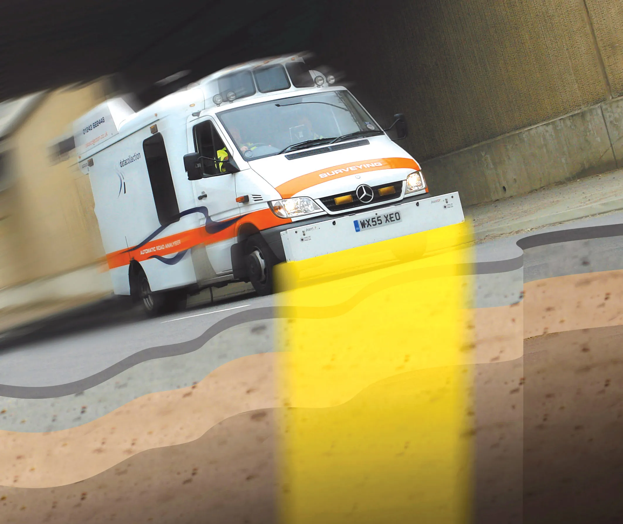
The company’s state-of-the-art SCANNER fleet is equipped with a new generation version of the ARAN (Automatic Road Analyser) integrated survey platform developed by 1169 Fugro Roadware.

ARAN provides efficient collection, synchronisation and processing of the statutory road condition datasets forming part of the SCANNER specification.

Clients can specify the collection of additional types of asset data such as ground-penetrating radar or high definition, forward-facing video, together with their SCANNER data.

It allows highways authorities to reduce the cost and carbon footprint of commissioning separate road surveys, while yielding additional interpretative data to enhance accuracy and cost-efficiency in asset management decisions.

“As well as overseeing the efficient delivery of SCANNER data under our contracts, I will be advising clients on best practice, cost efficiency in data gathering, and value management of SCANNER intelligence to best protect their budgets,” says Newson.

For more information on companies in this article

Related Content

  • Gothenburg to collect road condition data
    July 2, 2021
    The Swedish municipality of Gothenburg is working with ViaPM, NIRA Dynamics and Luleå University of Technology to gather data on road friction during the next two winters.
  • Using radar to deliver a fine runway finish
    April 4, 2014
    Radar Portal Systems (RPS) has spent a lot of time developing its sophisticated pavement top-surface photometric imaging system so it can cater specifically for the aviation market. This has now been specially developed for use on aircraft runways and taxiways The system was recently used at Brisbane Airport to survey runway and runway shoulders, collecting photometric top-surface data at a 4m width at speeds of up to 100km/h. This dataset allows the firm to display meshing data of the runway surface showin
  • Underground sight
    September 3, 2012
    Innovative mobile radar technology that can detect subsurface problems is now being launched by surveying specialist Data Collection Limited. The system uses a specially designed vehicle to carry out surveys at normal traffic speeds. Ground-penetrating radar is used to generate a cross-sectional profile of the subsurface. This information can be used to assess road condition, helping with planning repairs and re-surfacing.
  • Aim to make the right decisions with good asset management
    July 30, 2019
    Poor asset management will often lead to “wrong decisions regarding replacements and improvements” or “uncertainty in decision-making”, according to recent research. The result - 28% - is from a poll of 400 members of the UK-based global Institute of Asset Management (AIM) commissioned by technology company Yotta. A further 26% highlighted “improper financial decision-making criteria for investment decisions and maintenance” as a major consequence of poor asset management. The research also indicat