New generation highways condition data collection

Fugro Aperio is launching its SCANNER survey service, which it says offers competitive, efficient and dynamic highways data collection to assist road agencies and local authorities in reporting to National Indicators.
February 21, 2012 Read time: 2 mins
Chris Newson, Fugro Aperio
2929 Fugro Aperio is launching its SCANNER survey service, which it says offers competitive, efficient and dynamic highways data collection to assist road agencies and local authorities in reporting to National Indicators.

Chris Newson has joined the company, part of the Fugro group of companies, as network services manager to head up the company’s newly-formed road condition scanning business.

The company’s state-of-the-art SCANNER fleet is equipped with a new generation version of the ARAN (Automatic Road Analyser) integrated survey platform developed by 1169 Fugro Roadware.

ARAN provides efficient collection, synchronisation and processing of the statutory road condition datasets forming part of the SCANNER specification.

Clients can specify the collection of additional types of asset data such as ground-penetrating radar or high definition, forward-facing video, together with their SCANNER data.

It allows highways authorities to reduce the cost and carbon footprint of commissioning separate road surveys, while yielding additional interpretative data to enhance accuracy and cost-efficiency in asset management decisions.

“As well as overseeing the efficient delivery of SCANNER data under our contracts, I will be advising clients on best practice, cost efficiency in data gathering, and value management of SCANNER intelligence to best protect their budgets,” says Newson.

For more information on companies in this article

Related Content

  • A new agreement has been signed by ARRB and Radar Portal Systems for research into ground penetrating radar
    November 5, 2012
    ARRB has signed an important agreement with Radar Portal Systems (RPS), a privately owned company involved in the development of equipment for the measurement of road condition. RPS has a specific focus on ground penetrating radar (GPR) and pavement imaging. The deal will see ARRB and RPS co-operating in research and development, service provision and in the transfer of skills and technology. The primary areas of cooperation will be in the integration of GPR into ARRB’s Hawkeye survey platform to determine
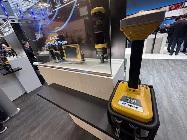
  • Get highly detailed 3D point road surface data from Topcon’s new RD-M2 scanner
    April 11, 2025

    Topcon Positioning System’s new RD-M2 laser scanner has been purpose-built for road resurfacing applications.

    The vehicle-mounted downward-facing RD-M2 delivers precise surface conditions over long and complex roads, which means no road closures are needed.  

    Millions of points are collected by the vehicle operator from safety of his or her cab.

    The 3D point data from the RD-M2 scanner serves as the basis for detailed road surface designs using the Topcon Office Suite.  

    These ground-truth surfaces are a part of the company’s SmoothRide system workflow.

  • Towards an EU framework for the security of widezones: research project “ZONeSEC”
    June 8, 2015
    The security and safety of the EU’s key infrastructure is a major issue and requires Pan-European agreement Critical infrastructure, such as highways, energy lines or pipelines, may spread over large areas covering wide geographic zones. There is clearly a need to provide proper security for such infrastructure against illicit actions and against incidents that may escalate to crises. As a result, developing 24/7 surveillance systems for the security of Wide Zones (with multiple assets at localised scale