New generation highways condition data collection

Fugro Aperio is launching its SCANNER survey service, which it says offers competitive, efficient and dynamic highways data collection to assist road agencies and local authorities in reporting to National Indicators.
February 21, 2012 Read time: 2 mins
Chris Newson, Fugro Aperio
2929 Fugro Aperio is launching its SCANNER survey service, which it says offers competitive, efficient and dynamic highways data collection to assist road agencies and local authorities in reporting to National Indicators.

Chris Newson has joined the company, part of the Fugro group of companies, as network services manager to head up the company’s newly-formed road condition scanning business.

The company’s state-of-the-art SCANNER fleet is equipped with a new generation version of the ARAN (Automatic Road Analyser) integrated survey platform developed by 1169 Fugro Roadware.

ARAN provides efficient collection, synchronisation and processing of the statutory road condition datasets forming part of the SCANNER specification.

Clients can specify the collection of additional types of asset data such as ground-penetrating radar or high definition, forward-facing video, together with their SCANNER data.

It allows highways authorities to reduce the cost and carbon footprint of commissioning separate road surveys, while yielding additional interpretative data to enhance accuracy and cost-efficiency in asset management decisions.

“As well as overseeing the efficient delivery of SCANNER data under our contracts, I will be advising clients on best practice, cost efficiency in data gathering, and value management of SCANNER intelligence to best protect their budgets,” says Newson.

For more information on companies in this article

Related Content

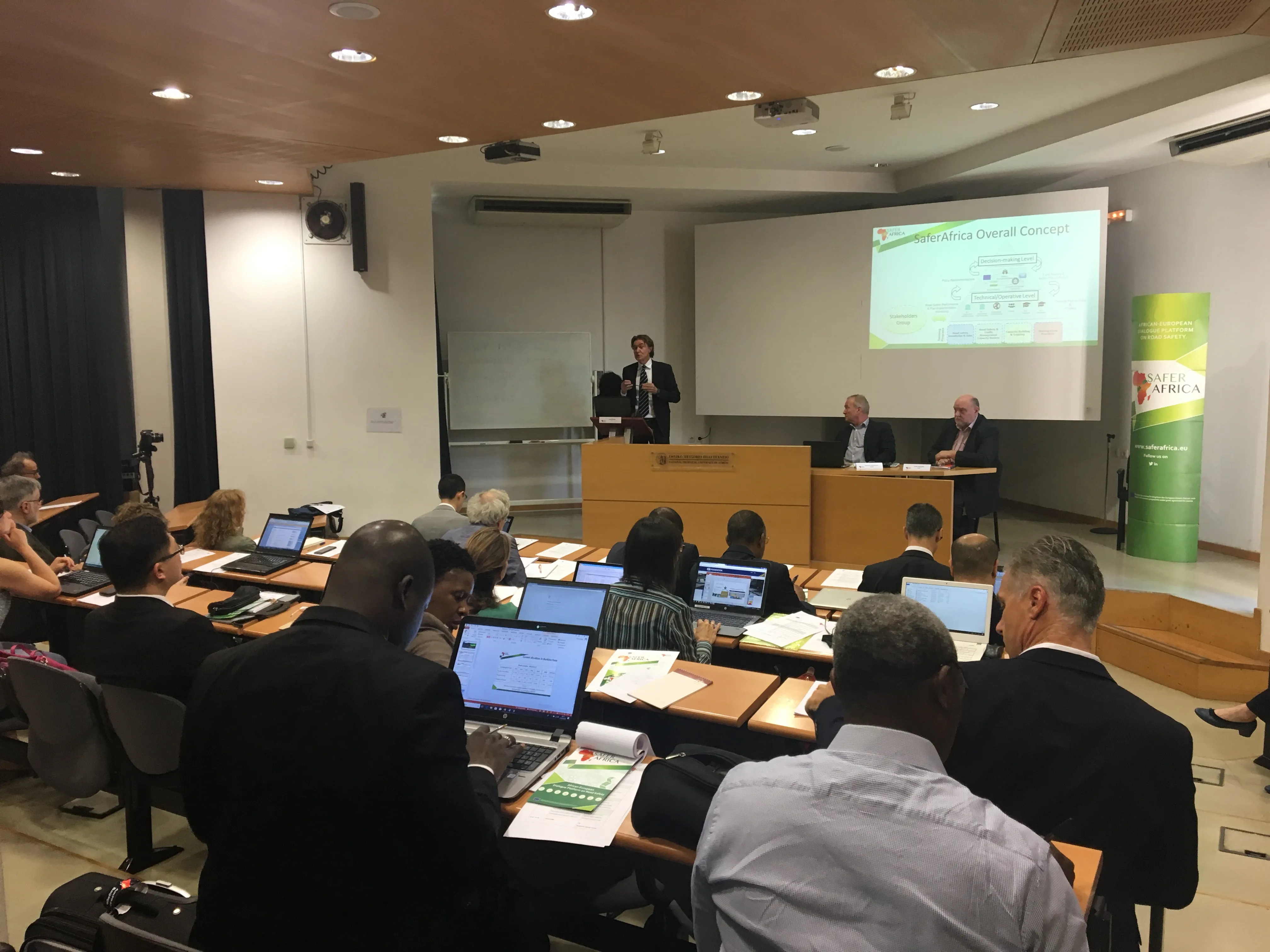
  • SaferAfrica Project discusses Data Collection in Africa
    July 5, 2018
    Members of the consortium of the EU-funded SaferAfrica project met in Athens on 24-27 April 2018 to discuss advancements and to present first results to the management board. IRF (Geneva) is a member of the consortium and shared its experience on data collection during the dedicated workshop held jointly with the management board. Representatives from the African Development Bank, UNECA, SSATP/World Bank, FIA, WHO, IRTAD, RU and PIARC were also present to address the issue of data in Africa and the specific
  • All Party Group call for urgent action to end local roads deteriorating
    October 15, 2013
    Christopher Chope OBE MP, chairman of the All Party Parliamentary Group (APPG) on Highway Maintenance, has called for UK local authority asset management plans to be made mandatory as part of urgent action to prevent local roads from falling into further disrepair. Chope made his anti-road deterioration rallying call during a reception to launch an APPG published report on local road condition.
  • Leica Captivate Experience works with fifth generation of ATRplus
    August 17, 2015
    Leica Geosystems says its Leica Captivate Experience creates highly realistic 3D models that enables professionals to capture and manage complex data easily and accurately. With little more than a swipe, users can now navigate through customisable apps containing information for multiple projects. Advanced lining and coding provide an interactive 3D model where users can zoom, pan and orbit the rendering for optimal viewing and manipulation. “Leica Geosystems has taken a giant leap forward with Captiv
  • Accurate data capture with Hexagon
    January 2, 2022
    Hexagon is introducing the Leica BLK ARC and the Leica BLK2FLY tools, which offer speed, portability and mobility for autonomous mobile reality capture.