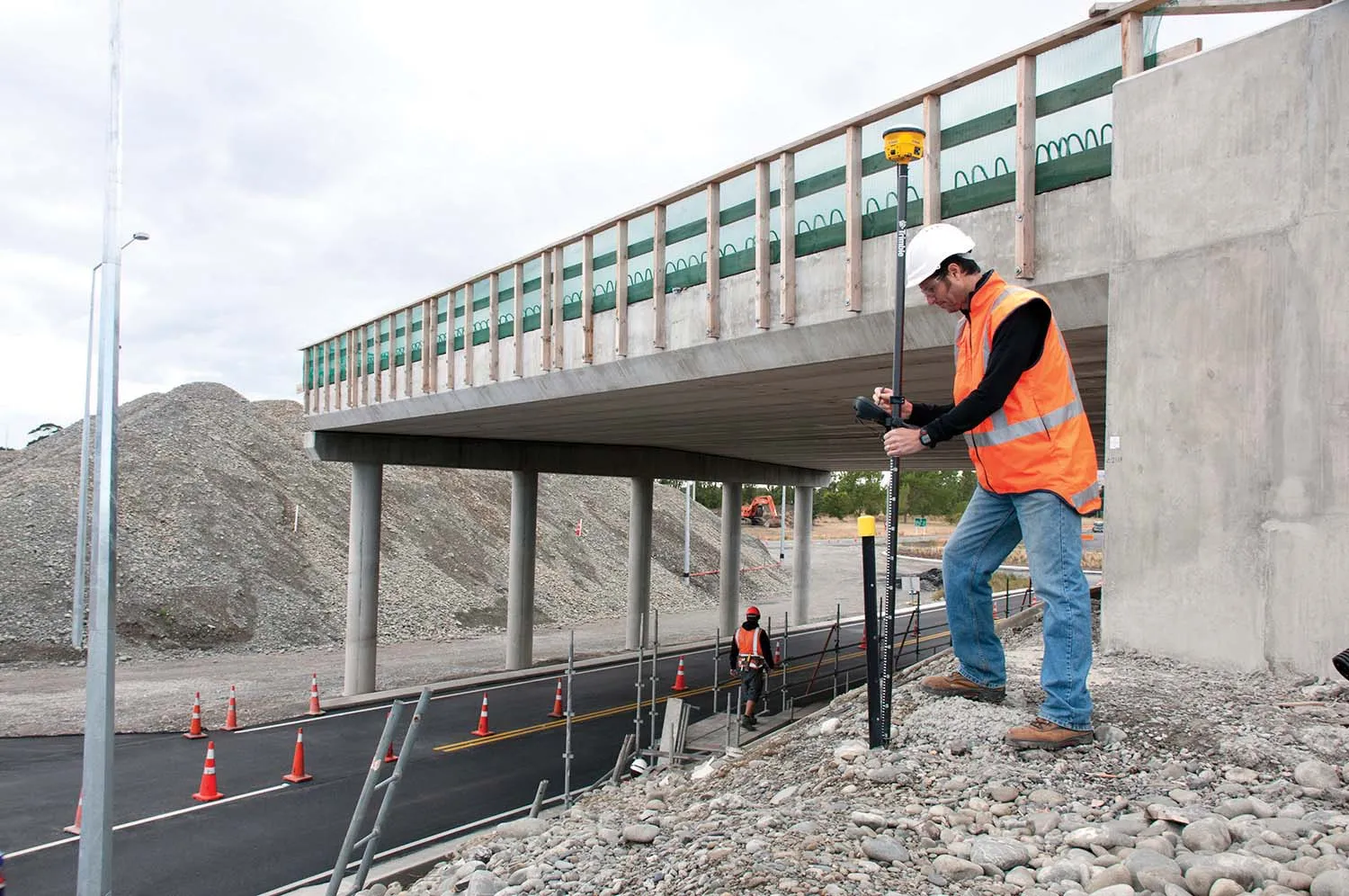
Locating underground utilities accurately with Trimble

A highly advanced prototype system Trimble is working on is based on the Earthworks package and is intended to reduce the risk of contractors hitting buried utilities when carrying out digging operations. Scott Crozier is general manager of Trimble’s general construction division. He said that this mixed reality solution is an emerging technology that will be available in the near future. The package is integrated into the machine display and provides a visual reference for the operator where buried utiliti
December 11, 2018 Read time: 1 min

A highly advanced prototype system 2122 Trimble is working on is based on the Earthworks package and is intended to reduce the risk of contractors hitting buried utilities when carrying out digging operations. Scott Crozier is general manager of Trimble’s general construction division. He said that this mixed reality solution is an emerging technology that will be available in the near future. The package is integrated into the machine display and provides a visual reference for the operator where buried utilities lie. An object avoidance system that physically limits the machine from digging further to prevent hitting a utility line is slightly further away however.

For more information on companies in this article

Related Content

  • Manitowoc launches EnCORE Partner Programme for high quality rebuilds and its latest Falcon anti-collision system
    April 18, 2013
    A whole new raft of customer and product care systems took centre stage for Manitowoc at bauma as the crane manufacturer formally introduced its EnCORE Partner programme to the European, Middle Eastern and African (EMEA) markets and unveiled a new anti-collision system for the group’s Potain tower cranes.
  • Trimble’s new georeferencing package
    March 13, 2017
    Trimble company Applanix is now offering the POSPac MMS 8 package, an advanced GNSSaided inertial post-processing software for georeferencing data. This information can be collected from cameras, LIDARs, multibeam sonars and other sensors on mobile platforms. Using the Trimble CenterPoint RTX subscription service with the RTX technology, POSPac MMS 8 is said to offer new capabilities for mobile mapping from land, air, marine and UAV platforms. It can offer centimetre-level accuracy within one hour aft
  • Utility spec for JCB's 8018
    February 15, 2012
    A range of safety specific additions have been made to JCB's 8018 mini excavator after the company worked with leading utility contractors to develop a special industry-specific version of the machine. The largest of the three 801 minis, the 1.6tonne machine retains its digging capabilities and its powerful 14.2kW Tier III compliant motor, but the utility pack offers requested upgrades. For example, to prevent damage on site, the lower door window has been replaced by a steel panel and the rear counterweigh
  • Trimble technology centre stage at CONEXPO-CON/AGG 2014
    March 27, 2014
    The Trimble Quantm alignment planning system, on show at CONEXPO/CON-AGG 2014, allows road designers to cut planning time and deliver projects with little environmental and social impact at a reduced cost. The system analyses millions of alignment alternatives and returns a range of options to the planning team for consideration. When new data becomes available the Quantm system can quickly recalculate more alignment options.