An innovative approach to the management of utilities works is the result of a partnership that has produced the Intelligent Trench. This novel underground mapping solution is also being combined with PelicanCorp's beforeUdig service to deliver a comprehensive and accurate national record-sharing service for underground assets in the UK. The new no-charge service allows local authorities and contractors to use the Intelligent Trench portal to access utility plan information directly from the portal's data b
March 20, 2012
Read time: 2 mins
An innovative approach to the management of utilities works is the result of a partnership that has produced the Intelligent Trench. This novel underground mapping solution is also being combined with 3178 PelicanCorp's beforeUdig service to deliver a comprehensive and accurate national record-sharing service for underground assets in the UK. The new no-charge service allows local authorities and contractors to use the Intelligent Trench portal to access utility plan information directly from the portal's data base, as well as to initiate utility plan requests for additional plan information through the beforeUdig service.
And the data is available through a one-stop operation. The service provides asset data quickly and efficiently, saving time and money for all stakeholders, helps improve the on-site safety of workers, and protects underground assets from accidental damage. Steve Voller, industry solutions director for4019 Bentley Systems, representing Intelligent Trench, and Marcus Edwards, managing director of PelicanCorp (UK), have jointly stated that the service has been developed to meet the need for a solution combining direct access to underground asset data using the Intelligent Trench portal and an automated plan request service.
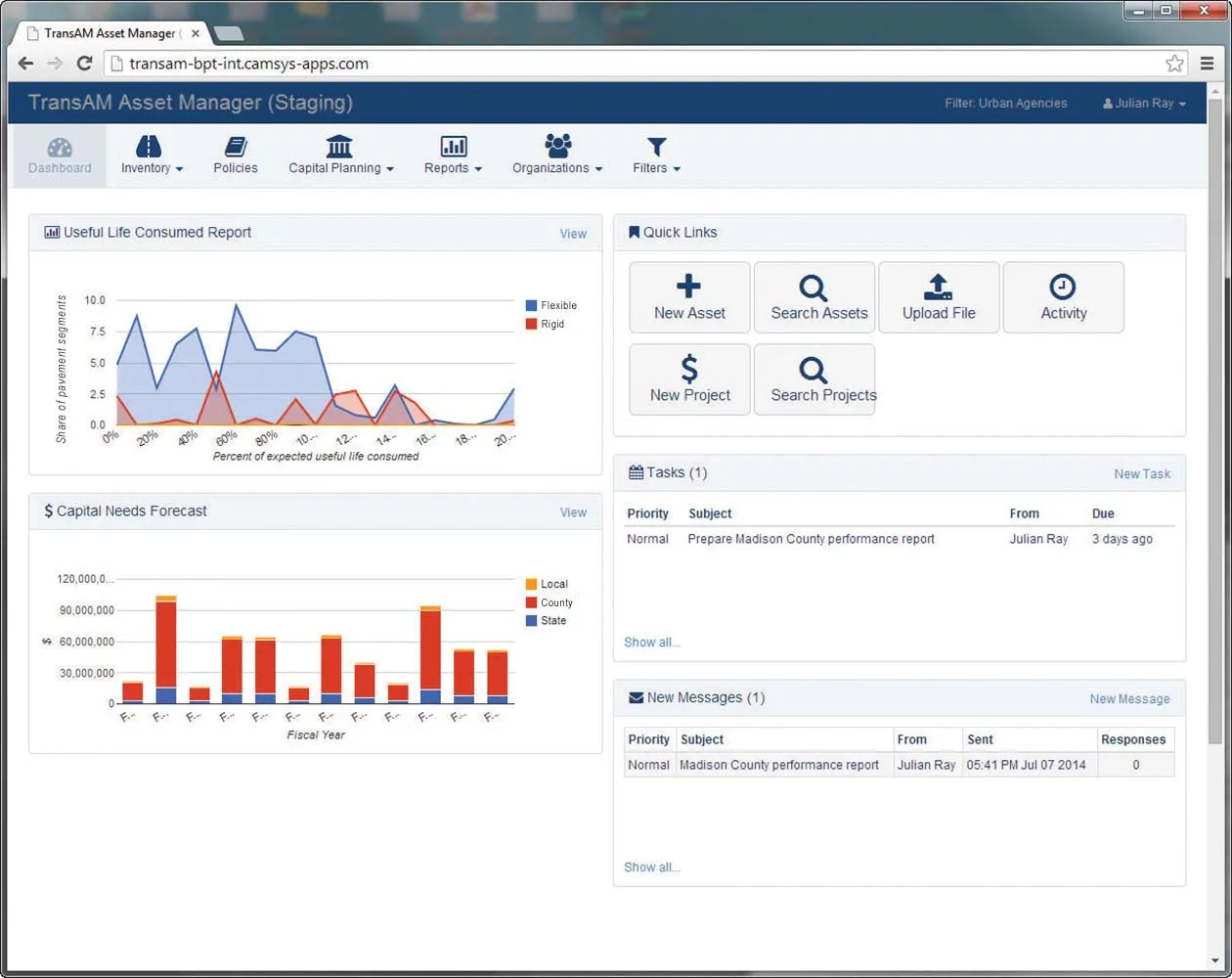
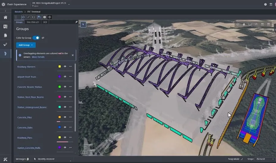
The web portal is based on2603 Exor technology, which is part of Bentley's AssetWise platform for asset lifecycle management. With this combined service, planners or contractors requiring information about these assets can reduce the time required to source key data. As a result, they reduce their costs and benefit from the timely delivery of the location records they require. Intelligent Trench combines advanced radio frequency identification (RFID) asset marking from 152 3M, field-based GPS data collection software from 4021 Trac-ID, a web portal and Exor spatial asset data base from Bentley Systems, and industry best practices, such as noninvasive surveys, from Infotec. Together, these technologies enable every excavation to be accurately and cost-effectively recorded, photographed, and mapped on a web portal. Access to the stored data is provided free of charge to registered users. PelicanCorp's beforeUdig service enables plan requests to be made from all relevant asset owners. It lets contractors request plans from utilities in a very simple step-by-step process. Once the request has been lodged with beforeUdig, each utility is notified of the intention to dig.
And the data is available through a one-stop operation. The service provides asset data quickly and efficiently, saving time and money for all stakeholders, helps improve the on-site safety of workers, and protects underground assets from accidental damage. Steve Voller, industry solutions director for
The web portal is based on


