
HxGN Live 2014: Leica CEO highlights IT-led road construction and mining gains

Leica Geosystems’ CEO and president Jürgen Dold has highlighted to HxGN 2014 Live delegates how dynamic geospatial systems are creating more effective and safer workflows on road construction sites and in mining.
June 4, 2014 Read time: 3 mins
Jürgen Dold gives his keynote speech ‘Dirt, Diamonds and Data’ during Day Two of HxGN Live 2014 in Las Vegas
265 Leica Geosystems’ CEO and president Jürgen Dold has highlighted to HxGN 2014 Live delegates how dynamic geospatial systems are creating more effective and safer workflows on road construction sites and in mining.

Delivering his keynote speech titled ‘Dirt, Diamonds and Data’ during the four-day conference being staged by Leica Geosytems’ parent company 7121 Hexagon at the MGM Grand Hotel in Las Vegas, Dold said that the significant efficiency and safety gains were possible through the innovative use of solutions based on machine control, scanning, surveying, UAVs (Unmanned Aerial Vehicles) and positioning technology.

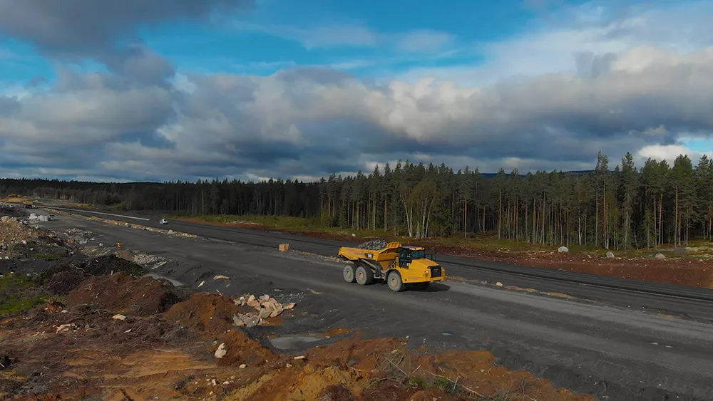
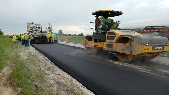
“An earthmoving company has lots of heavy construction machines. What is he [the manager] interested in? He wants automation for his machines to get better utilisation. When we supply this, we take the technology that emerged from surveying and merge this in to the machines.” Dold said this enabled, for instance, graders to achieve precise grades at 20km/h, which was “two and a half times faster” than without the use of geospatial technology. “This is the productivity increase,” he added.

Dold continued, “Let’s assume that a constructor wants to understand before he builds a road how much [earth] volume he has to move up. He can take a mobile mapping system and drive the route so he understands the volumetrics before he builds the road, so he’s more accurate on the project going forward.

“He can also take a UAV and document the project’s progress on a weekly base.

This could be given to the contractor who gets the [road building] job.”

Of the benefits to a mine manager of using geospatial technology, Dold said, “He wants to know where to explore. He wants to know where to dig and find the resources. So the combination of surveying equipment and software designed for mining, which we can offer after the recent acquisition of Mintec, helps him understand where to be.”

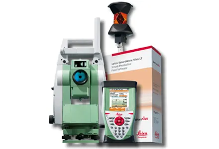
Praising the impact of Leica’s Nova MS50 MultiStation, described by the firm as “revolutionary” on its launch last year, Dold said, “It’s an instrument that combines all the technologies that we have. It’s used in construction for measuring the flatness of roads. It’s used in mining to do load monitoring.”

Dold’s keynote speech also highlighted how Hexagon-Leica Geosystems’ state-of-the-art 3D laser scanning solutions and visual maps are moving science into a new direction, such as being used to record with precision the key construction-related measurements of world famous buildings, such as Rome’s Coliseum, for the US series ‘Time Scanners’; and how the mobile mapping of the Leica Nova MS50, supported by Leica Viva GS14 GNSS receivers, is leading to the exploration of new possibilities, such as biannually recording the ice cap variations of Mont Blanc in France, Europe’s highest peak.

Themed ‘Great Stories Start Here’, HxGN Live 2014 from 2-5 June is showcasing the latest innovations and success stories from Hexagon’s global brand network. The event is also dedicated to helping customers harness the power of Hexagon technologies to deliver high quality construction projects.

In the opening HxGN Live 2014 keynote speech on Monday evening, Hexagon president and CEO Ola Rollén stressed how individual users of information technology innovation hold the key to successfully confronting growing global challenges.

You can view the latest footage from HxGN Live 2014 by visiting HxGN LIVE TV at %$Linker: 2 External <?xml version="1.0" encoding="utf-16"?><dictionary /> 0 0 0 oLinkExternal http://hxgnlive.com/hxgn-live-tv.htm HXGN false http://hxgnlive.com/hxgn-live-tv.htm false false%>

For more information on companies in this article

Related Content

  • Accurate surveys
    March 19, 2012
    Leica Geosystems says that its new Viva TS12 performance robotic package offers a comprehensive package of surveying solutions. High accuracy surveying can be achieved using this cost-effective system, according to the firm. The package comprises the Leica Viva TS12 Total Station, the Viva CS10 Controller and the easy-to-use SmartWorx Viva Onboard Software. The Viva TS12 can be used to find, lock and measure points to prisms with accuracy.
  • Conquer technology interoperability gaps with DCW’s productivity-focused and digitally-connected platform
    July 14, 2022
    Digital Construction Works is all about the “transformative power of digital.” It is designed to be a leading integrator of construction technology services… a power that will help to deliver your projects smoothly, on time, and on budget. DCW’s mission is to “create innovative solutions to complex challenges by understanding the pressure firms are under to increase productivity, reduce risk… and deliver reliable, efficient project results.” Are you connected?
  • CECE Congress focuses on future of construction
    April 10, 2012
    The bi-annual CECE Congress was held in Spain when participants looked forward in a bid to see what will happen in the next ten years Growth markets such as China, India and Brazil offer big opportunities to European construction equipment manufacturers. As companies, particularly those from China, start to expand outside their own countries the competition for business will increase, and it has been claimed that there is no such thing as 'the global market', rather it is the sum of hundreds, if not thousa
  • Smarter compaction technology in use in Missouri
    October 2, 2018
    Intelligent compaction and infrared scanning technologies have been used to improve construction quality The Missouri Department of Transportation (MoDOT) carried out a year-long project throughout 2017 to demonstrate the use of intelligent compaction (IC), infrared scanning (IR), and Veta software to improve pavement construction operations. “We were looking for ways to assess quality in asphalt projects,” said Bill Stone, research administrator at MoDOT. “We are working towards better pavements that l