Leica Geosystems’ CEO and president Jürgen Dold has highlighted to HxGN 2014 Live delegates how dynamic geospatial systems are creating more effective and safer workflows on road construction sites and in mining.
June 4, 2014
Read time: 3 mins

Delivering his keynote speech titled ‘Dirt, Diamonds and Data’ during the four-day conference being staged by Leica Geosytems’ parent company
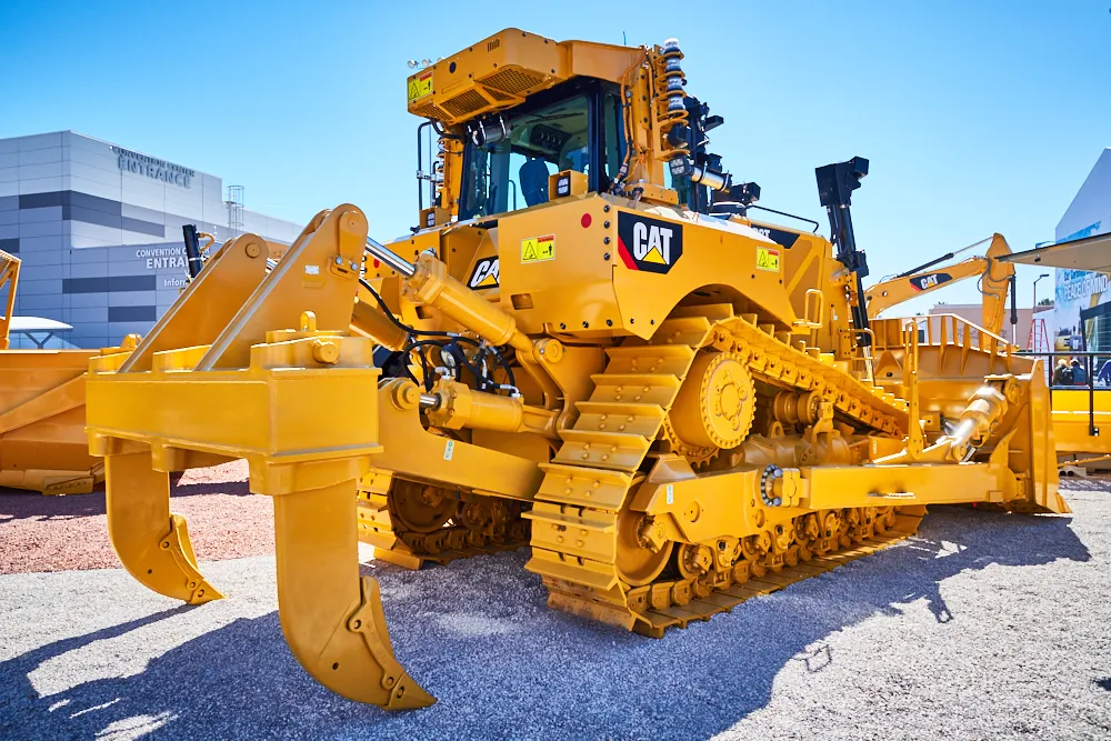
“An earthmoving company has lots of heavy construction machines. What is he [the manager] interested in? He wants automation for his machines to get better utilisation. When we supply this, we take the technology that emerged from surveying and merge this in to the machines.” Dold said this enabled, for instance, graders to achieve precise grades at 20km/h, which was “two and a half times faster” than without the use of geospatial technology. “This is the productivity increase,” he added.
Dold continued, “Let’s assume that a constructor wants to understand before he builds a road how much [earth] volume he has to move up. He can take a mobile mapping system and drive the route so he understands the volumetrics before he builds the road, so he’s more accurate on the project going forward.
“He can also take a UAV and document the project’s progress on a weekly base.
This could be given to the contractor who gets the [road building] job.”
Of the benefits to a mine manager of using geospatial technology, Dold said, “He wants to know where to explore. He wants to know where to dig and find the resources. So the combination of surveying equipment and software designed for mining, which we can offer after the recent acquisition of Mintec, helps him understand where to be.”
Praising the impact of Leica’s Nova MS50 MultiStation, described by the firm as “revolutionary” on its launch last year, Dold said, “It’s an instrument that combines all the technologies that we have. It’s used in construction for measuring the flatness of roads. It’s used in mining to do load monitoring.”
Dold’s keynote speech also highlighted how Hexagon-Leica Geosystems’ state-of-the-art 3D laser scanning solutions and visual maps are moving science into a new direction, such as being used to record with precision the key construction-related measurements of world famous buildings, such as Rome’s Coliseum, for the US series ‘Time Scanners’; and how the mobile mapping of the Leica Nova MS50, supported by Leica Viva GS14 GNSS receivers, is leading to the exploration of new possibilities, such as biannually recording the ice cap variations of Mont Blanc in France, Europe’s highest peak.
Themed ‘Great Stories Start Here’, HxGN Live 2014 from 2-5 June is showcasing the latest innovations and success stories from Hexagon’s global brand network. The event is also dedicated to helping customers harness the power of Hexagon technologies to deliver high quality construction projects.
In the opening HxGN Live 2014 keynote speech on Monday evening, Hexagon president and CEO Ola Rollén stressed how individual users of information technology innovation hold the key to successfully confronting growing global challenges.
You can view the latest footage from HxGN Live 2014 by visiting HxGN LIVE TV at %$Linker:


