
Honeywell forms dedicated drone unit

Products to be developed include a fly-by-wire autopilot system.
By David Arminas June 29, 2020 Read time: 2 mins
Up, up and away: Honeywell’s new drone unit takes off (photo © Darius Strazdas/Dreamstime)

Honeywell has set up a drone business unit to tap into the increasing demand for unmanned aerial systems and urban air mobility.

The company says that its Unmanned Aerial Systems unit will use Honeywell’s technology, software, services and certification expertise to meet customers’ needs in these markets. It will have its own engineering and sales resources.

The new unit will also act as a systems integrator for all other Honeywell products and services, explained Stéphane Fymat, vice president and general manager of the newly formed business.

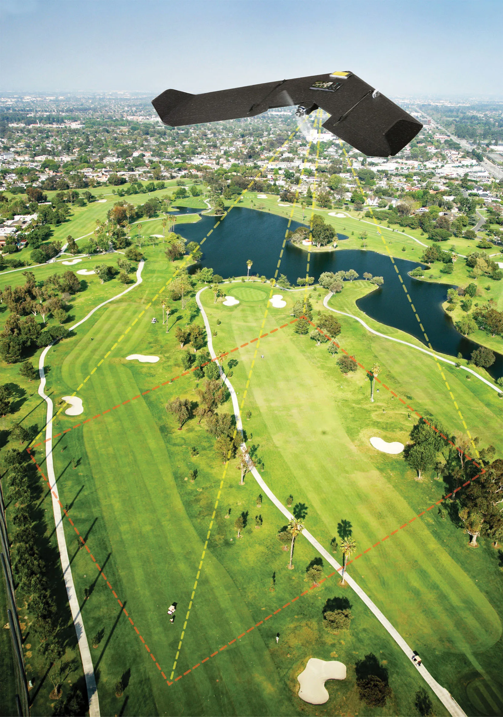
Products and services to be developed include a fly-by-wire autopilot system that automatically ensures aircraft stability even if the pilot is “hands off” for extended periods of time. Detect-and-avoid algorithms will automatically fly an aircraft around oncoming traffic. Artificial intelligence software could track landing zones for precise vertical landings every time.

“Urban air mobility and unmanned aerial systems will play an increasing role in the future of aerospace, with potential applications in all-electric urban air taxi vehicles, hybrid-electric unmanned cargo drones, optionally piloted airplanes, delivery drones and everything in between,” said Mike Madsen, chief executive of Honeywell Aerospace.

“Honeywell has already contributed many technological advancements to these markets and is well positioned to continue growing our portfolio to meet customer needs and help shape the future of autonomous aviation and urban transport,” said Madsen.

Related Content

  • Are drones homing in on road construction?
    August 4, 2015
    It may be early days for using drones – unmanned aerial systems (UAS) -- to map construction sites, but technology and legislation are moving in that direction. At the moment drones can fly within only a 500m radius of the ‘pilot’ standing on the ground, making the flight area a 1km diameter. This is the key limiting issue for any sector, especially road construction, says Jonathan Gill, a robotics engineer and a qualified drone pilot for the past seven years. The logic is that a drone remains withi
  • Drones in construction, the future of surveying?
    August 21, 2015
    It may be early days for using drones – unmanned aerial systems (UAS) -- to map construction sites, but technology and legislation are moving in that direction. At the moment drones can fly within only a 500m radius of the ‘pilot’ standing on the ground, making the flight area a 1km diameter. This is the key limiting issue for any sector, especially road construction, says Jonathan Gill, a robotics engineer and a qualified drone pilot for the past seven years.
  • Carry on Movin’ On - Michelin’s mobility event
    October 15, 2018
    Many of the great and the good in the global mobility sector gathered at this year’s Movin’ On event in Montreal. Measured regulation of technologies and safety issues were major themes, reports David Arminas Autonomous vehicles, platooning, smart intersections and safety – these were the talking points over two and half days of the Movin’ On event in Montreal. Everyone in the mobility sector is at the same point, trying to see what mobility will look like in the future. Apparent at the event was just
  • Innovative GIS advances from Bluesky
    July 18, 2012
    Aerial survey specialist Bluesky is funding research into the development and use of a new system to map the UK’s cities and towns at night. Bluesky has teamed up with the University of Leicester to look at solutions using new high sensitivity camera sensor technology. Mounted on survey aircraft, the new system can record the location of street lights, illuminated road signs and other night-time sources of light. This can deliver an accurate resource for asset inventories, light pollution assessment and ene