US firms Hemisphere GPS and Carlson Software have formed a 'strategic alliance'. The move, according to the companies, will provide a roadmap for new, integrated solutions for land survey, mapping, construction, mining and other key machine control markets.
US firms 2895 Hemisphere GPS and 2599 Carlson Software have formed a ‘strategic alliance’. The move, according to the companies, will provide a roadmap for new, integrated solutions for land survey, mapping, construction, mining and other key machine control markets. Carlson Software is a leading developer of field and office-based land development software.
The strategic alliance is part of Hemisphere GPS’s recent formation of their survey and construction group, where the two companies will combine their expertise to develop intuitive and powerful GNSS-based solutions that improve the efficiency and performance in several applications including data collection, land development design and earth moving. Recent collaborations with Carlson include survey data collection software that supports Hemisphere GPS’ new S320 GNSS survey receiver system.
"This partnership will help us bring application centric solutions to the market much faster. The solutions will enhance the complete design-build project lifecycle,” said Randy Noland, vice president of Carlson Software Machine Control.
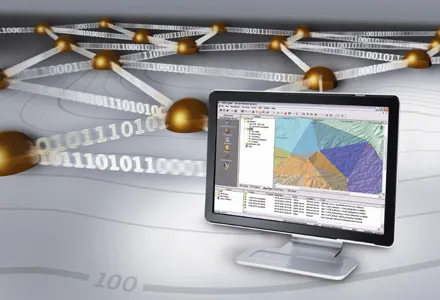
Hemisphere GPS’ patented technologies such as Eclipse GNSS receivers and Vector GNSS compasses are said by the company to provide the precise positioning and heading to proven survey, guidance and machine control solutions. Integrating with Carlson’s feature-packed software packages such as SurvCE, Carlson Grade and Carlson Civil Suite is said by Hemisphere and Carlson to create unparalleled value in performance and capability.
Hemisphere GPS and Carlson Software are developing new joint product roadmaps that will result in product introductions throughout 2012 and beyond. New products will be announced and made available through each company’s respective distribution channels.
The strategic alliance is part of Hemisphere GPS’s recent formation of their survey and construction group, where the two companies will combine their expertise to develop intuitive and powerful GNSS-based solutions that improve the efficiency and performance in several applications including data collection, land development design and earth moving. Recent collaborations with Carlson include survey data collection software that supports Hemisphere GPS’ new S320 GNSS survey receiver system.
"This partnership will help us bring application centric solutions to the market much faster. The solutions will enhance the complete design-build project lifecycle,” said Randy Noland, vice president of Carlson Software Machine Control.
Hemisphere GPS’ patented technologies such as Eclipse GNSS receivers and Vector GNSS compasses are said by the company to provide the precise positioning and heading to proven survey, guidance and machine control solutions. Integrating with Carlson’s feature-packed software packages such as SurvCE, Carlson Grade and Carlson Civil Suite is said by Hemisphere and Carlson to create unparalleled value in performance and capability.
Hemisphere GPS and Carlson Software are developing new joint product roadmaps that will result in product introductions throughout 2012 and beyond. New products will be announced and made available through each company’s respective distribution channels.