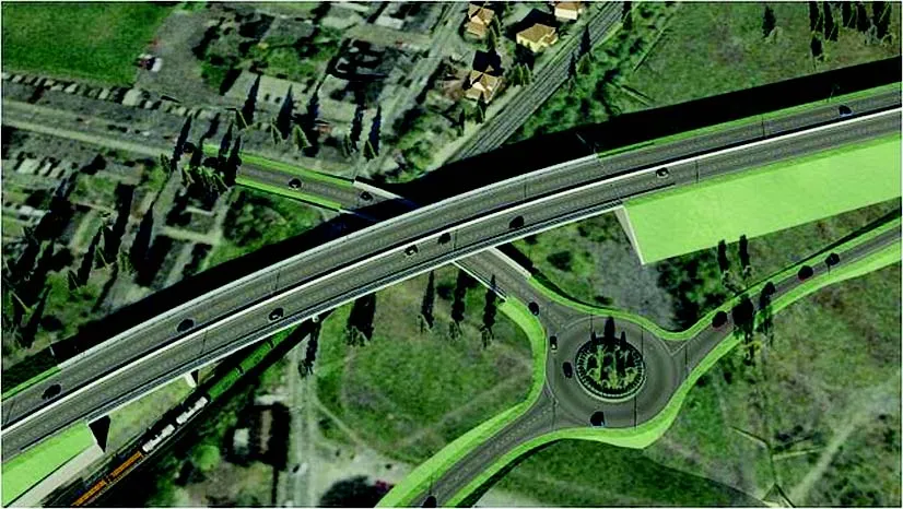
Germany’s Transport Ministry is to test Building Information Modelling (BIM) systems in two key infrastructure projects. The two pilot projects will be for the road and rail sectors. The technology provides a digital 3D model of the construction project which will allow for the planning, construction and usage of the project to be presented. The BIM system also incorporates deadline and cost planning aspects of construction projects. The German Transport Ministry aims to use the technology to uncover any co
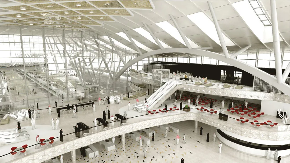
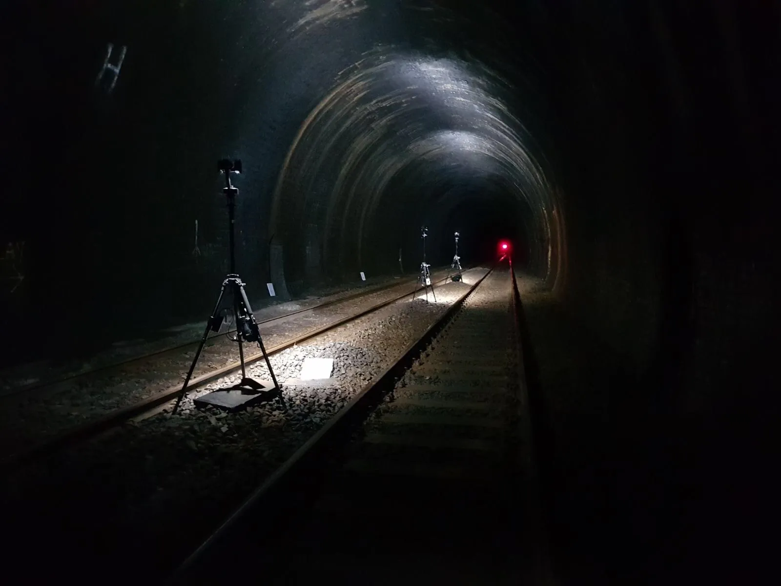
Germany’s Transport Ministry is to test Building Information Modelling (BIM) systems in two key infrastructure projects. The two pilot projects will be for the road and rail sectors. The technology provides a digital 3D model of the construction project which will allow for the planning, construction and usage of the project to be presented. The BIM system also incorporates deadline and cost planning aspects of construction projects. The German Transport Ministry aims to use the technology to uncover any conflicts in the planning and construction of large projects, synchronise the time plans of various partner firms and improve control over project costs. This new trial is moving forward in a bid to regain ground in managing large infrastructure projects in Germany. The country has in the past been regarded as highly efficient when managing its infrastructure programme. However in recent times key German infrastructure projects such as the construction of the new Berlin airport terminal and the Stuttgart railway station have slowed to a crawl, with costs spiralling far beyond original expectations. Both projects are now far behind schedule and have proved highly embarrassing politically. Using BIM technology the Transport Ministry hopes to learn from expertise gained particularly in the UK with regard to managing complex infrastructure projects on time and within budget.