Fugro to use its ARAN system in Dutch surveying deal

Fugro, a geo-data specialist, is using the latest version of its Automatic Road Analyser (ARAN) in a new five-year pavement survey contract for Dutch highways. The contract, with an option to extend to 10 years, was awarded by the Dutch infrastructure agency Rijkswaterstaat. It includes the collection of surface condition and road measurement data from 8,600km of principal highways each year. The company’s Automatic Road Analyser - ARAN - which is adapted to meet European specifications and includes i
May 9, 2019 Read time: 2 mins
Fugro’s latest Automatic Road Analyser – ARAN – is surveying around 8,600km of Dutch main roads

6202 Fugro, a geo-data specialist, is using the latest version of its Automatic Road Analyser (ARAN) in a new five-year pavement survey contract for Dutch highways.

The contract, with an option to extend to 10 years, was awarded by the Dutch infrastructure agency Rijkswaterstaat. It includes the collection of surface condition and road measurement data from 8,600km of principal highways each year.

The company’s Automatic Road Analyser - ARAN - which is adapted to meet European specifications and includes improved crack detection technology. The platform enables surveys to be conducted at traffic speed, providing a cost-effective, safe, precise means of condition monitoring that enables asset managers to identify and predict deterioration and prioritise expenditure, according to the company, based in the Netherlands.

The ARAN provides fully automated collection of multiple data streams via positioning, video and laser imaging systems that can be tailored to project needs. Options include profile, camber, rutting, cracking, texture and roughness as well as pavement thickness and structure based on ground penetrating radar.

Rijkswaterstaat receives a clear picture of network condition in a format that complies with national standards, the company notes. With the condition surveys repeated annually, maintenance plans can be optimised to target areas of deterioration based on high resolution and repeatable datasets.

Richard Bun, Fugro’s project lead, said the updated ARAN “will further enhance the efficient transfer and usability of important data for Rijkswaterstaat’s asset management system”.

Fugro employing around 10,000 people in 65 countries. Clients are mainly in the energy and infrastructure industries, both offshore and onshore. In 2018, revenue was €1.7 billion. The company is listed on Euronext Amsterdam.

For more information on companies in this article

Related Content

  • SICK’s Free Flow Profiler scans vehicles on the move
    August 27, 2019
    SICK has launched the Free Flow Profiler vehicle measurement system that enables highly accurate 3D profiling of vehicles across multiple lanes in free-flow traffic The company says that the Free Flow Profiler is a “versatile and adaptable” all-weather system. It is “ideal for vehicle tolling and classification uses, especially useful in operations such as optimal weight loading of ferries or trains and for verifying vehicle dimensions to maximise revenue recovery”. During multilane, free road movem
  • Norway mega-project contract for Fugro
    December 20, 2017
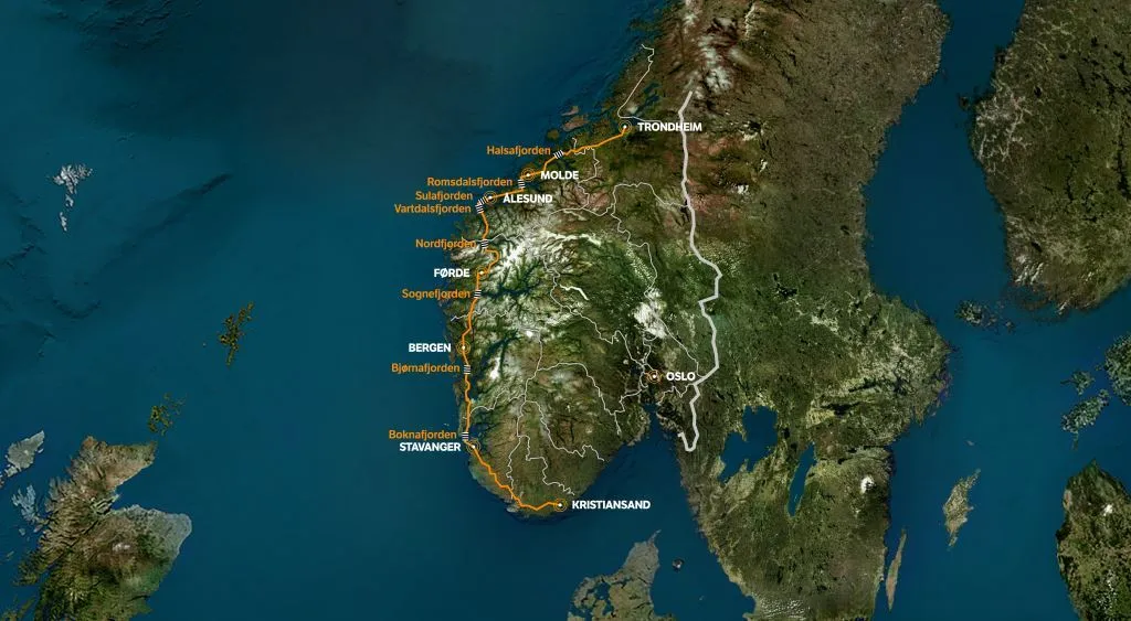
    The largest road project in Norway’s history has seen Fugro win a second major contract from the Norwegian Public Roads Administration (NPRA). The work on the E39 Coastal Highway is for the construction of a 1,100km route from Kristiansand in the south to Trondheim in central Norway. This project is expected cost around €34.4 billion (NOK 340 billion).
  • Road and runway repair success
    July 2, 2012
    Fugro Aperio says it is improving the quality of road and airport runway repair techniques using its sophisticated ground penetrating radar (GPR) technology. The firm is now able to offer a combination of real time kinematic (RTK) GPS with multi channel radar systems due to partnerships with Yotta in the UK, and Pavement Management Services in Australia and the Middle East. This sophisticated package enables pre-planning of surveys, quicker execution and better positioning for more precise mapping of defect
  • Positioning tools continue to improve
    July 16, 2012
    Topcon says that its new IP-S2 package combines GNNS positioning capabilities with inertial sensors, while the firm also has a solution for customers wanting to mix and match receiver components. The IP-S2 is a vehicle-mounted, mobile 3D tool that offers precision mapping and surveying capabilities. The package collects data using 3D laser scanners, LIDAR, and/or cameras, and this is then integrated, time-stamped and geo-referenced. The customer can use this assembled data to combine LIDAR point cloud and d