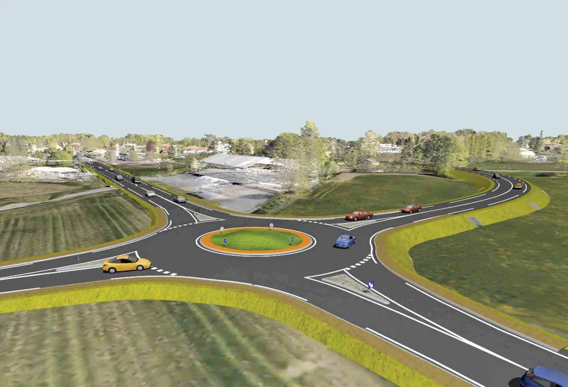
ESRI is developing a comprehensive highway data maintenance and linear referencing solution scheduled for release in the fourth quarter of 2010. Aimed at highway departments, state departments of transportation, and national roadway administrations, the company says it will provide an integrated set of tools and functionality that allows agencies to easily maintain highway geometry, their associated multiple linear referencing systems, and complex roadway features
March 20, 2012
Read time: 2 mins
Aimed at highway departments, state departments of transportation, and national roadway administrations, the company says it will provide an integrated set of tools and functionality that allows agencies to easily maintain highway geometry, their associated multiple linear referencing systems, and complex roadway features.
The highway data maintenance and linear referencing solution will use the newly updated ESRI transportation data model. Designed to support the full agency workflow, with desktop, server, and mobile versions, it will accommodate the myriad of ways in which highway agencies typically collect, edit, and maintain various roadway information.
For US-based state departments of transportation, a highway performance monitoring system (HPMS) reporting module will be included. A straight-line diagram tool will be available worldwide to all highway users and supported in the mobile environment for field data collection and editing.
Additional features include the ability to define and configure specific workflows, along with robust data validation tools.
“ESRI has assembled an excellent team to address a problem that has been a significant hurdle for many highway agencies for some time," says ESRI transportation industry manager Terry Bills. “We feel strongly that the finished product will allow many of our customers to more easily integrate information and take GIS [geographic information systems] to an enterprise level in their organisations.”
The project is the result of the highway agencies needs to support multiple spatial geometries with multiple linear referencing and route system and will facilitate the integration of roadway characteristic data.
Since roadway data is often stored in a number of stand-alone applications, the ESRI solution is designed to simplify data integration, while allowing various levels of customisation to conform to pre-existing workflows and business systems.


