Bentley Systems boosting business with acquisition

Construction software specialist Bentley Systems continues to develop its portfolio of solutions with yet another acquisition. The company is growing both organically and through acquisition, this time buying up the French firm Acute3D, provider of Smart3DCapture software for reality modelling. Through reality modelling, observations of existing conditions can be processed into representations for contextual alignment within design modelling and construction modelling environments. According to Bentley, rap
February 11, 2015 Read time: 3 mins

Construction software specialist 4019 Bentley Systems continues to develop its portfolio of solutions with yet another acquisition. The company is growing both organically and through acquisition, this time buying up the French firm Acute3D, provider of Smart3DCapture software for reality modelling. Through reality modelling, observations of existing conditions can be processed into representations for contextual alignment within design modelling and construction modelling environments. According to Bentley, rapid technology advances in scanning and photography, and especially the growing application of unmanned aerial vehicles (UAVs) for these purposes, are making the capture of these observations affordable in sustaining infrastructure.

Acute3D software automates the generation of high-resolution, fully-3D representations from digital photographs taken with any camera, whether highly specialised or embedded in a smartphone. Scalable from site to city, and with precision limited only by the quantity and quality of photography, Acute3D technology can assure that existing conditions are contemporaneously considered throughout the architecture, engineering, construction, and operations of any infrastructure asset. Now that photo sequences from UAVs are becoming a feasible source for surveying, construction monitoring, and inspection workflows, Acute3D’s industrial-level accuracy and unlimited scalability are making it a preferred technology for UAV manufacturers and professionals around the world.

Bentley Systems Founder and CTO Keith Bentley said, “The world-class Acute3D developers have already achieved two breakthroughs, which remove the barriers to the adoption of reality modelling. First, Acute3D has made it possible for anyone to sufficiently capture existing conditions with just a camera. Of equal importance is the value of the Acute3D result. Rather than a voluminous cloud of discrete points, Acute3D produces a 3D ‘reality mesh’ – intrinsically in the same geometric idiom as engineering models, readily aligning the real-world context.
Acute3D was co-founded in 2011 by Dr Jean-Philippe Pons and Dr Renaud Keriven, who have attracted and led an accomplished team of researchers and developers, headquartered in Sophia Antipolis. Since its founding, Acute3D has attracted a rapidly expanding user base that includes 5313 Nokia, PASCO, and 757 Saint-Gobain, and OEM licensees that include Airbus Group and 685 Autodesk. In China, Internet giant Tencent is working with Acute3D to do large-scale 3D city modeling for several mega-cities, from both aerial and street view photography. Other applications of Acute3D have included existing conditions capture for construction sites.

For more information on companies in this article

Related Content

  • Case lightens French traffic
    February 18, 2013
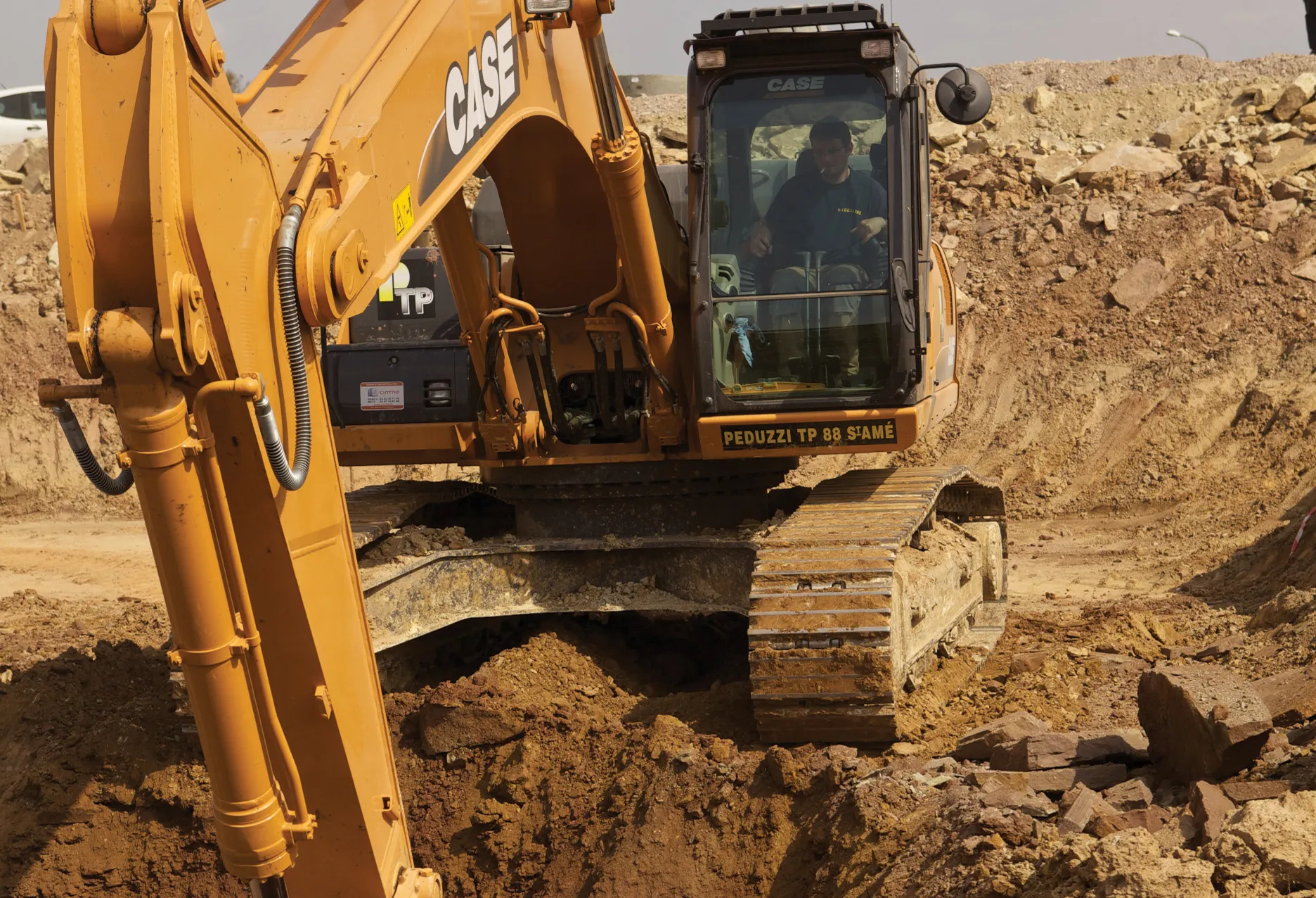
    Two new Case CX series excavators played a leading role in a major €1.5 million project to improve traffic flow at the Terres Saint Jean business and shopping park in Épinal, eastern France. Purchased by French firm Peduzzi TP, the CX250C and a CX350C machines are helping to renew the infrastructure, improve traffic flow and safety at the junction with the RN 57. The Épinal town council commissioned works, which began in March 2012, included the construction of an underground passage under the RN 57 linking
  • Smarter vision
    February 10, 2012
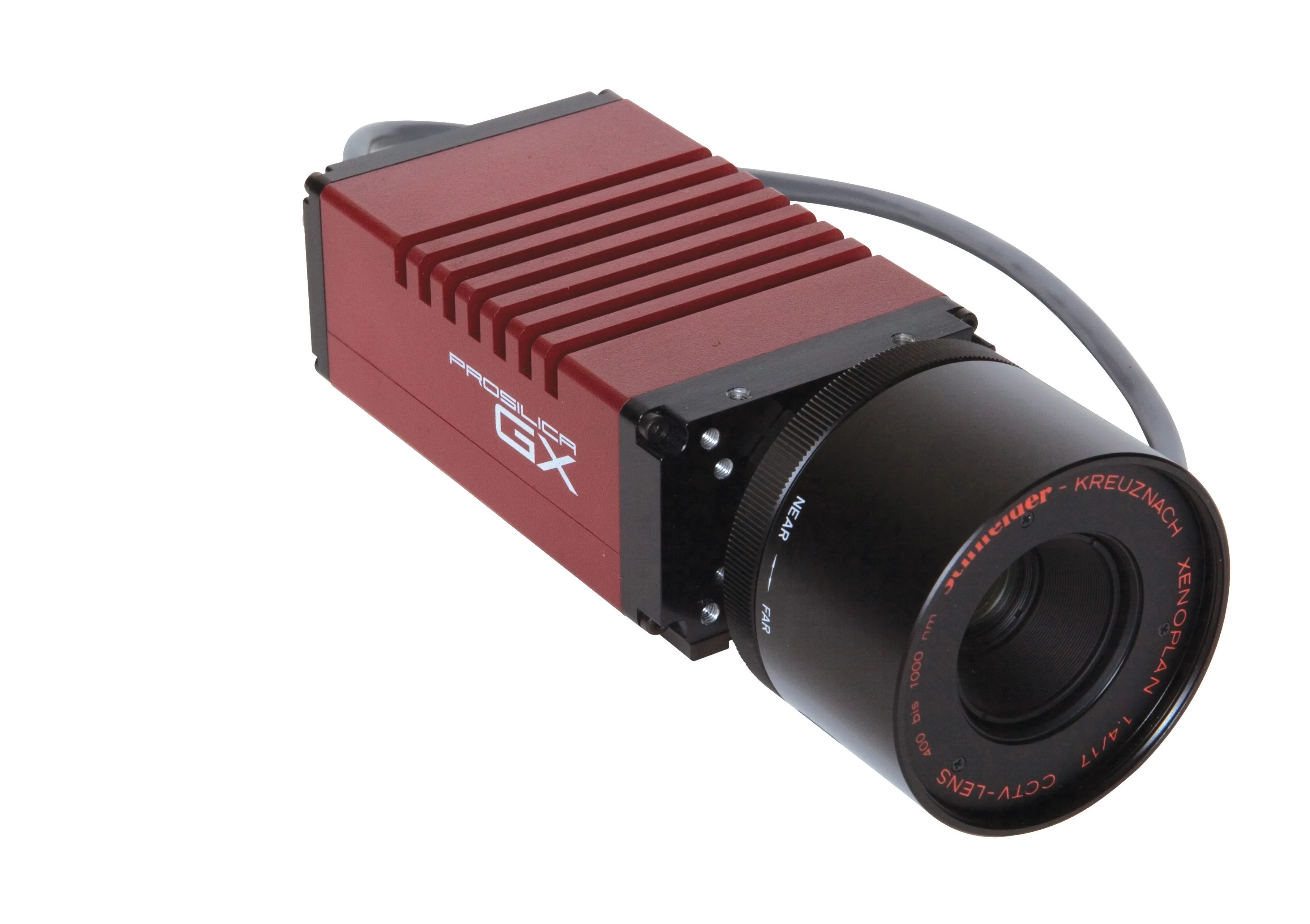
    Allied Vision Technologies says that its new Prosilica GX1920 HD camera offers a high resolution solution for traffic imaging applications.
  • Self-healing roads to address pothole problem?
    February 4, 2025
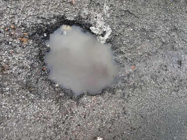
    Self-healing roads using biomass could address the pothole problem.
  • EarthSense Systems releases air pollution map of the UK
    June 15, 2018
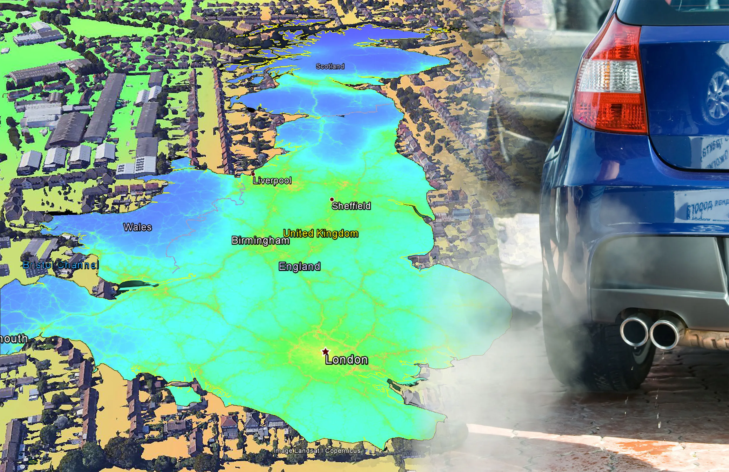
    EarthSense Systems has published MappAir, a high-resolution map of air pollution throughout the entire UK. MappAir shows how air pollution - specifically nitrogen dioxide - changes across the country and within towns and cities, highlighting likely sources and potential clean-air refuge areas. It combines data from satellites and its EarthSense Systems’ own air quality monitoring sensors along with open source data. The result, using complex modelling, creates a highly accurate map at 100m resolution, says