Bentley Systems boosting business with acquisition

Construction software specialist Bentley Systems continues to develop its portfolio of solutions with yet another acquisition. The company is growing both organically and through acquisition, this time buying up the French firm Acute3D, provider of Smart3DCapture software for reality modelling. Through reality modelling, observations of existing conditions can be processed into representations for contextual alignment within design modelling and construction modelling environments. According to Bentley, rap
February 11, 2015 Read time: 3 mins

Construction software specialist 4019 Bentley Systems continues to develop its portfolio of solutions with yet another acquisition. The company is growing both organically and through acquisition, this time buying up the French firm Acute3D, provider of Smart3DCapture software for reality modelling. Through reality modelling, observations of existing conditions can be processed into representations for contextual alignment within design modelling and construction modelling environments. According to Bentley, rapid technology advances in scanning and photography, and especially the growing application of unmanned aerial vehicles (UAVs) for these purposes, are making the capture of these observations affordable in sustaining infrastructure.

Acute3D software automates the generation of high-resolution, fully-3D representations from digital photographs taken with any camera, whether highly specialised or embedded in a smartphone. Scalable from site to city, and with precision limited only by the quantity and quality of photography, Acute3D technology can assure that existing conditions are contemporaneously considered throughout the architecture, engineering, construction, and operations of any infrastructure asset. Now that photo sequences from UAVs are becoming a feasible source for surveying, construction monitoring, and inspection workflows, Acute3D’s industrial-level accuracy and unlimited scalability are making it a preferred technology for UAV manufacturers and professionals around the world.

Bentley Systems Founder and CTO Keith Bentley said, “The world-class Acute3D developers have already achieved two breakthroughs, which remove the barriers to the adoption of reality modelling. First, Acute3D has made it possible for anyone to sufficiently capture existing conditions with just a camera. Of equal importance is the value of the Acute3D result. Rather than a voluminous cloud of discrete points, Acute3D produces a 3D ‘reality mesh’ – intrinsically in the same geometric idiom as engineering models, readily aligning the real-world context.
Acute3D was co-founded in 2011 by Dr Jean-Philippe Pons and Dr Renaud Keriven, who have attracted and led an accomplished team of researchers and developers, headquartered in Sophia Antipolis. Since its founding, Acute3D has attracted a rapidly expanding user base that includes 5313 Nokia, PASCO, and 757 Saint-Gobain, and OEM licensees that include Airbus Group and 685 Autodesk. In China, Internet giant Tencent is working with Acute3D to do large-scale 3D city modeling for several mega-cities, from both aerial and street view photography. Other applications of Acute3D have included existing conditions capture for construction sites.

For more information on companies in this article

Related Content

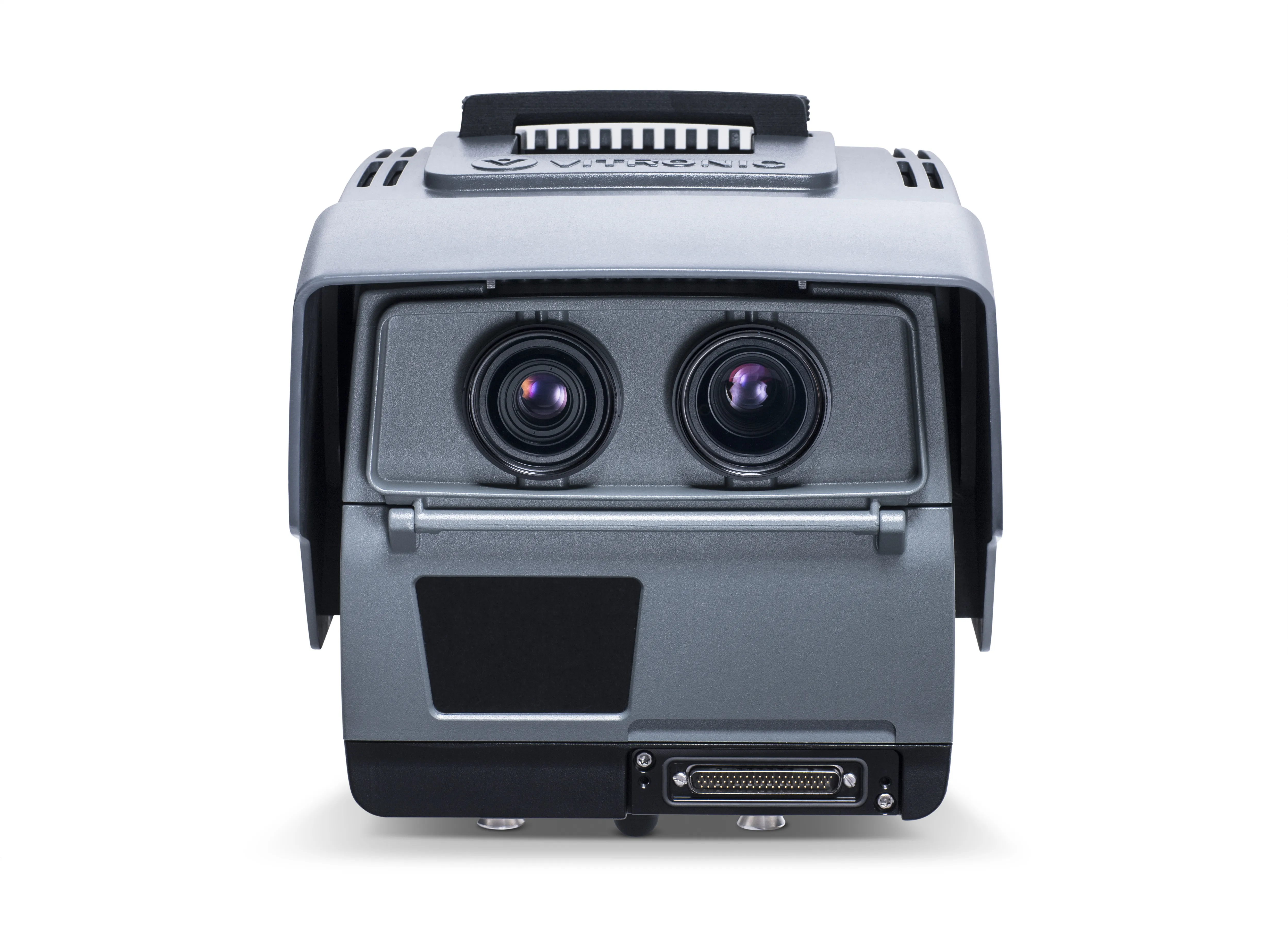
  • Vitronic’s 90 POLISCAN FM1 LIDAR for Maryland
    September 14, 2022
    Vitronic’s 90 POLISCAN FM1 systems offer both speed measurement and automatic license plate recognition in the US state of Maryland.
  • California traffic management system using simulation has successful trial
    May 16, 2014
    A complex online modelling system for integrating traffic management on the southern Californian road system has successfully completed a major operational trial this spring The "decision support system" uses the collection of data about the local interstate I-15 and many of the roads which feed into it or lead away from it, to build a comprehensive picture of traffic flows, working with a variety of city agencies, federal highway administration and services such as police and crash data. Data from e
  • Sophisticated scanning from Topcon
    August 13, 2019
    Topcon Positioning Group is introducing a new generation of scanning robotic total stations. The firm’s new the GTL-1000 is a compact scanner integrated with a fully featured robotic total station. The firm says that the system is designed to offer a powerful instrument for single-operator layout and scan on a single set up. Combined with the ClearEdge3D Verity package, it offers effective construction verification workflows. The instrument includes a complete robotic total station with layout functionalit
  • Get highly detailed 3D point road surface data from Topcon’s new RD-M2 scanner
    April 11, 2025

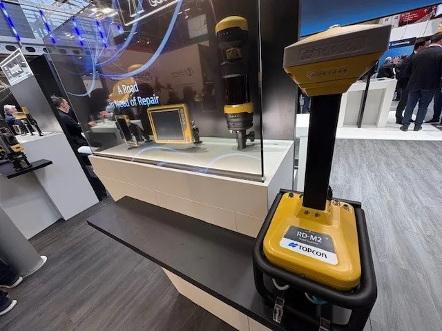
    Topcon Positioning System’s new RD-M2 laser scanner has been purpose-built for road resurfacing applications.

    The vehicle-mounted downward-facing RD-M2 delivers precise surface conditions over long and complex roads, which means no road closures are needed.  

    Millions of points are collected by the vehicle operator from safety of his or her cab.

    The 3D point data from the RD-M2 scanner serves as the basis for detailed road surface designs using the Topcon Office Suite.  

    These ground-truth surfaces are a part of the company’s SmoothRide system workflow.