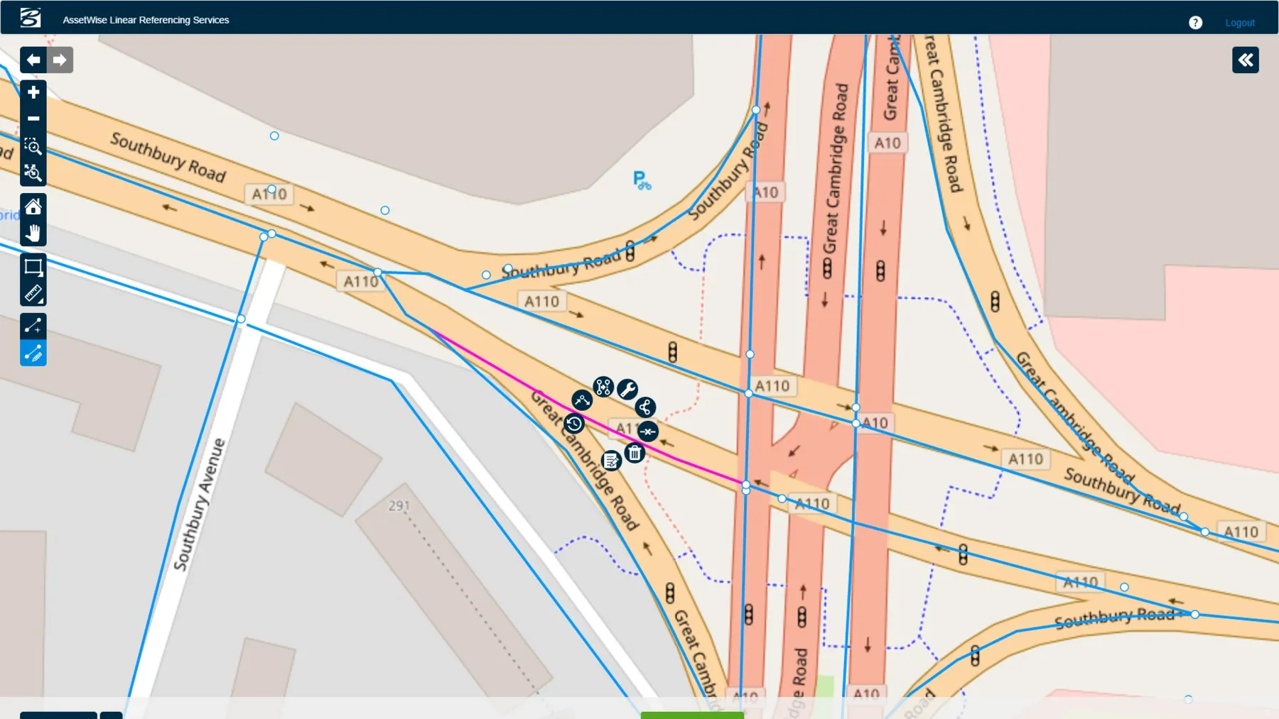
The US state of Arizona is using 1Spatial’s technology to send a yearly update of its entire road network to the Federal Highway Administration. As required by law, all state governments must do this and many have created a data set of their road network. But much of this is held at county level. The challenge, now that data has been collected, is how to keep this information up-to-date and accurate.
1Spatial software will automate the data validation process and also the change process. The technology w
February 6, 2017
Read time: 2 mins
The US state of Arizona is using 1Spatial’s technology to send a yearly update of its entire road network to the Federal Highway Administration. As required by law, all state governments must do this and many have created a data set of their road network. But much of this is held at county level. The challenge, now that data has been collected, is how to keep this information up-to-date and accurate.
1Spatial software will automate the data validation process and also the change process. The technology will detect changes, show differences from the core network, based on rules, and integrate the changes into the network. It is automatic and based on rules created by the state and 1Spatial, said the company.
Benefits for transport departments are efficiency gains in moving from a manual to an automated, rules-based process. Counties also can send in data at any time and the data set is continually updated, rather than once a year. 1Spatial is a group of software and solutions companies trading under the brands 1Spatial Group, EnablesIT and Storage Fusion. 1Spatial Group helps users of databases to collect, store, manage and interpret location-specific information.
1Spatial’s 1Integrate technology will enable Arizona’s Department of Transport to automatically assure the quality of the information it receives from the 15 counties and 17 public safety answering points (PSAPs) by validating it against a set of predefined business rules.
They will also be able to match new data submissions against the current version of the road network to identify changes in geometry and other attributes and apply these changes. Duncan Guthrie, 1Spatial’s director of sales for North America, explained that the new process will save the department a significant amount of time and money over a manual process and also ensure the accuracy of the state-wide data map. 1Spatial clients include national mapping agencies, land registries, utility and telecommunications companies, as well as government departments including emergency services, defence and census bureaux.


