
Accurate grading for Caterpillar using Leica Geosystems technology

Accurate grading is possible for Caterpillar machines using Leica Geosystems technology.
By MJ Woof October 2, 2023 Read time: 2 mins
Combining technology from Leica Geosystems with the Cat 2D grade Control package can boost earthmoving efficiency

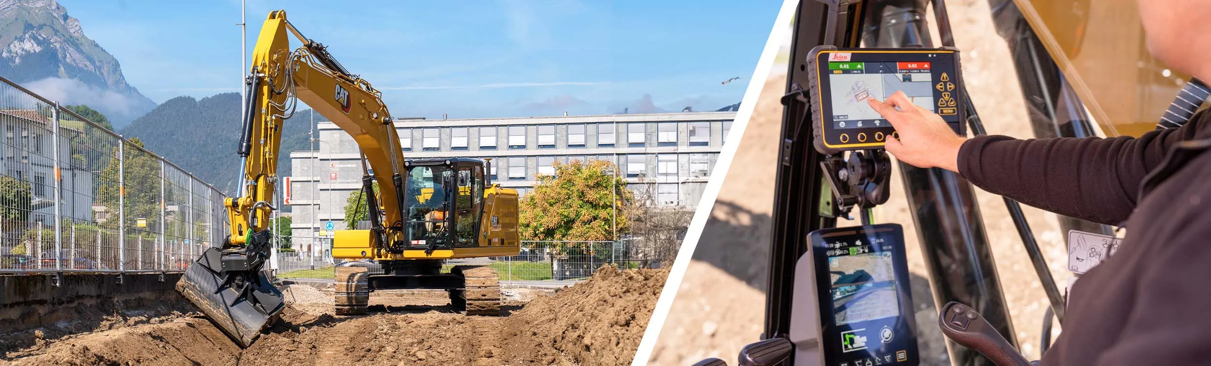
A new package for Caterpillar machines is available from Leica Geosystems, which will boost grading accuracy. Using the Cat Grade 2D Assist system in combination with the Leica MC1 3D package will extend capabilities.

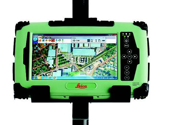
The Cat Grade 2D Assist system allows accurate grading and levelling in two dimensions (horizontal plane). However, adding the Leica MC1 3D machine control system extends this functionality into the vertical plane. With 3D machine control, operators can create, cut, and verify designs horizontally and also at various depths and slopes.

This capability ensures precise and efficient earthmoving and construction tasks, transforming grading and excavation. Complex grading tasks, such as shaping surfaces with varying slopes or creating intricate contours, can now be completed with accuracy, reducing the need for costly rework.

Marcel Schleiss, owner of Schleiss AG in Switzerland, who has already benefited from this offer, shared his experience using the technology on the company’s latest earthwork project: "We have eagerly anticipated this new compatibility offer for some time. We are delighted to collaborate with top-notch suppliers of construction technology, as well as with the exceptionally supportive teams at both Leica Geosystems and the Cat dealer, Avesco."

"As an excavator operator, I've experienced first-hand how the combination of Cat Grade 2D Assist and Leica MC1 3D machine control empowers us to deliver superior results.” said Fabian Stadelmann, excavator operator at Schleiss AG. “It not only optimises our productivity but also minimises material waste, ultimately contributing to more cost-effective and successful construction projects." Leica Geosystems remain committed to pushing the boundaries of innovation and technology in the construction and earthmoving sector to increase interoperability, providing customers with cutting-edge solutions that enhance productivity, precision, and overall project success.

The Leica MC1 3D machine control system is available through authorised Leica Geosystems dealers. Customers can inquire about minimum compatibility requirements for 3D machine control solutions for Caterpillar Next Gen 2D excavators at their local Cat dealer. 
 

For more information on companies in this article

Related Content

  • Turntide Technologies launches Turnkey Solutions to boost electrification solutions
    April 10, 2025

    Turntide Technologies Turnkey Solutions is a new system of electrification partners designed to simplify and accelerate electrification projects across industries including roadbuilding and construction.  

    The initiative brings together leading partners to offer seamlessly integrated solutions, ensuring rapid and efficient system integration, says Turntide.

  • New drilling and blasting technology aids efficient quarrying
    April 13, 2012
    Innovations in drilling and blasting and crushing and screening are bringing major economies of scale to aggregate production operations. Drilling and blasting is an area where new technology is offering major saving to quarrying companies. This is another important factor in the quarrying process, as inefficient drilling and blasting can have major financial repercussions.
  • New drilling and blasting technology aids efficient quarrying
    March 15, 2012
    Innovations in drilling and blasting and crushing and screening are bringing major economies of scale to aggregate production operations. Drilling and blasting is an area where new technology is offering major saving to quarrying companies. This is another important factor in the quarrying process, as inefficient drilling and blasting can have major financial repercussions.
  • Leica’s growing support network
    April 23, 2013
    Leica Geosystems has launched Leica Zeno Office v3.1 and Leica MobileMatriX v5.1 software updates for the Zeno GIS series. Leica Zeno Office v3.1 and MobileMatriX v5.1 now support the new Leica CS25 GNSS, an innovative tablet computer and high accuracy data collector; Esri ArcGIS 10.0/10.1; and post-processing accuracy improvements. Johannes Hotz, senior product manager, says: “Both Zeno Office, in combination with Leica Zeno Field, and MobileMatriX further support the measurement of positions and associate