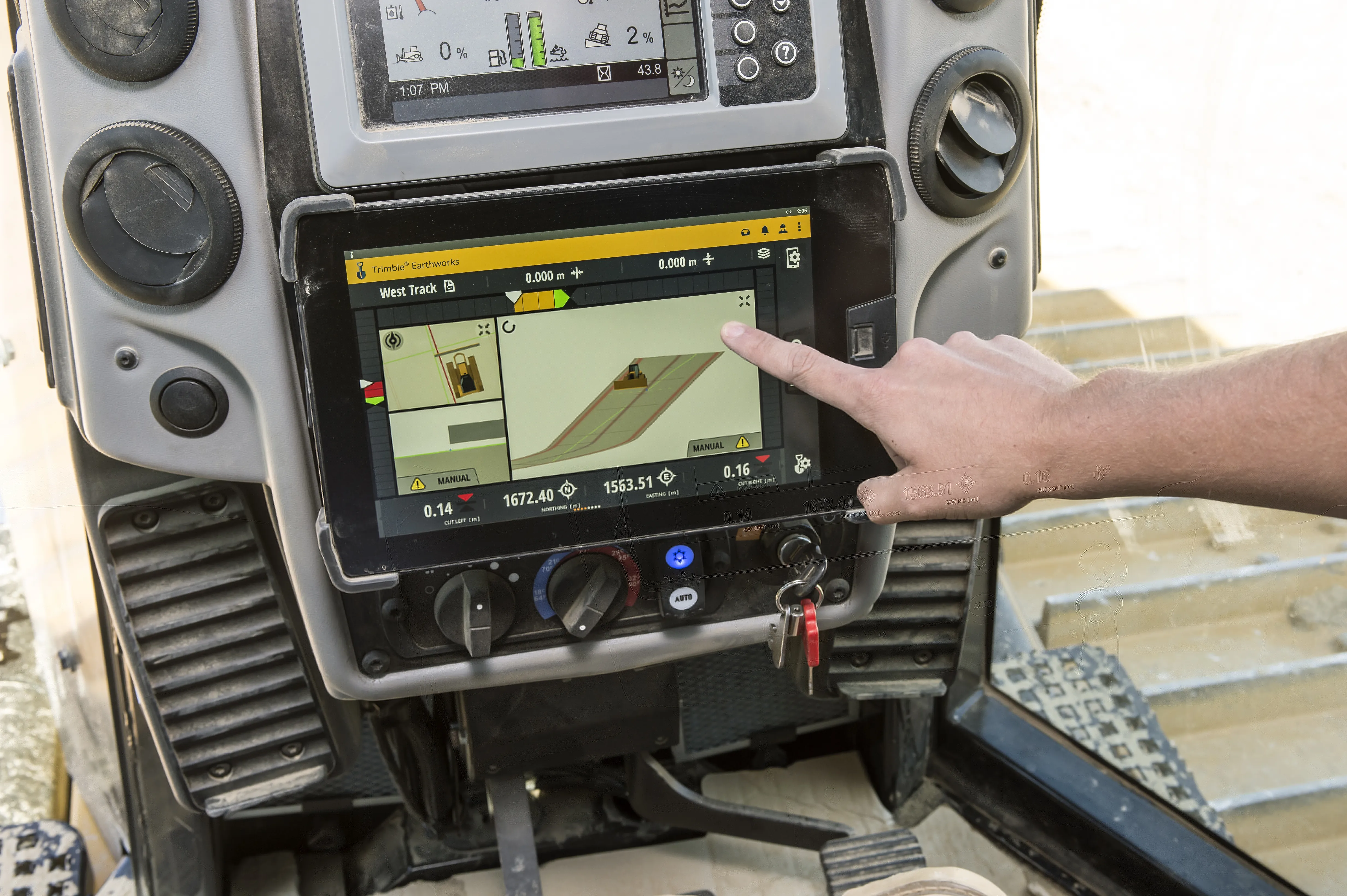
A new package for Caterpillar machines is available from Leica Geosystems, which will boost grading accuracy. Using the Cat Grade 2D Assist system in combination with the Leica MC1 3D package will extend capabilities.
The Cat Grade 2D Assist system allows accurate grading and levelling in two dimensions (horizontal plane). However, adding the Leica MC1 3D machine control system extends this functionality into the vertical plane. With 3D machine control, operators can create, cut, and verify designs horizontally and also at various depths and slopes.
This capability ensures precise and efficient earthmoving and construction tasks, transforming grading and excavation. Complex grading tasks, such as shaping surfaces with varying slopes or creating intricate contours, can now be completed with accuracy, reducing the need for costly rework.
Marcel Schleiss, owner of Schleiss AG in Switzerland, who has already benefited from this offer, shared his experience using the technology on the company’s latest earthwork project: "We have eagerly anticipated this new compatibility offer for some time. We are delighted to collaborate with top-notch suppliers of construction technology, as well as with the exceptionally supportive teams at both Leica Geosystems and the Cat dealer, Avesco."
"As an excavator operator, I've experienced first-hand how the combination of Cat Grade 2D Assist and Leica MC1 3D machine control empowers us to deliver superior results.” said Fabian Stadelmann, excavator operator at Schleiss AG. “It not only optimises our productivity but also minimises material waste, ultimately contributing to more cost-effective and successful construction projects." Leica Geosystems remain committed to pushing the boundaries of innovation and technology in the construction and earthmoving sector to increase interoperability, providing customers with cutting-edge solutions that enhance productivity, precision, and overall project success.
The Leica MC1 3D machine control system is available through authorised Leica Geosystems dealers. Customers can inquire about minimum compatibility requirements for 3D machine control solutions for Caterpillar Next Gen 2D excavators at their local Cat dealer.


