Leica Geosystems is offering a broad spread of new packages and hardware that will deliver improved performance to users. The firmware 2.0 product is said to add powerful new capabilities to the Leica ScanStation C10, the industry's most popular 3D laser scanner for as-built and topographic surveys. This further increases the productivity and versatility of the fully integrated, cable-less ScanStation C10. A new Setup facility lets users take advantage of known survey points and backsighting, while remote,

Leica Geosystems is offering a broad spread of new packages and hardware that will deliver improved performance to users.
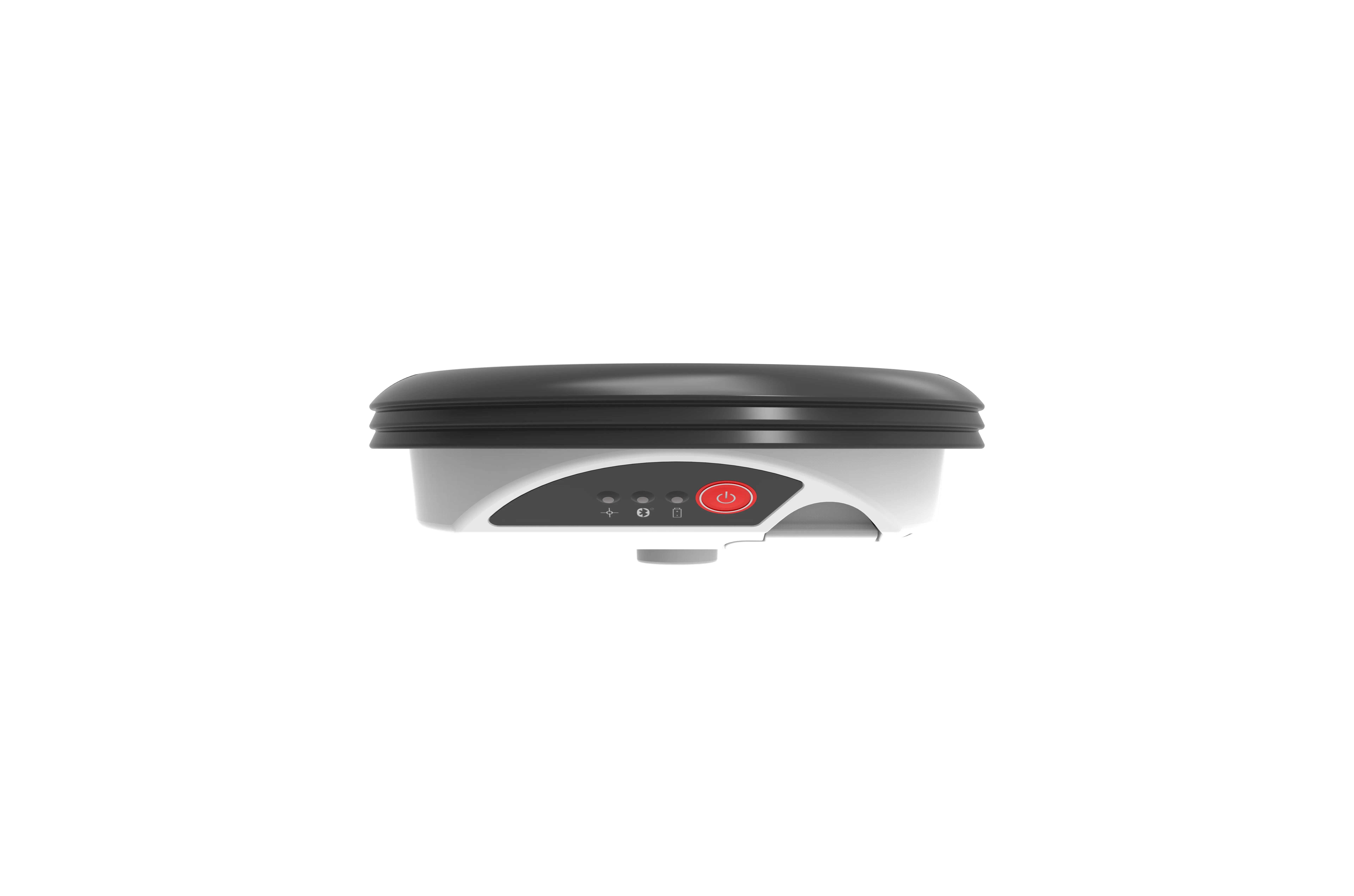
The firmware 2.0 product is said to add powerful new capabilities to theThe Leica Zeno GIS series continues to grow with the addition of the new Zeno 10 3.5G and Zeno 15 3.5G new dual-constellation, network-enabled handheld GNSS receivers and the newest Zeno Field v1.2 software. Designed for GIS data collection and mapping applications, the Zeno 10 3.5G and Zeno 15 3.5G integrate built-in communications, an open operating system, and a powerful GNSS receiver. The dual-constellation receiver, 3.5G modem and Windows handheld are combined into a small, reliable and powerful package.
The Leica Zeno Field software is an OEM version of
And the new Leica Viva TS15 robotic imaging total station is said to deliver advanced imaging functionality combined with dynamic tracking capabilities, as well as the latest Leica SmartWorx Viva onboard software. The Leica Viva TS15 adds a high-resolution camera as well as image assisted surveying and documentation. Live streaming of the total station view on the robotic controller allows remote point to be measured with the new tap, turn and measure functions. A new image capture tools means users can take high-resolution images of the surveying scene or even capture any screen shown on the display.
Photo documentation of site conditions helps optimise productivity and minimise the risk of costly re-visits.