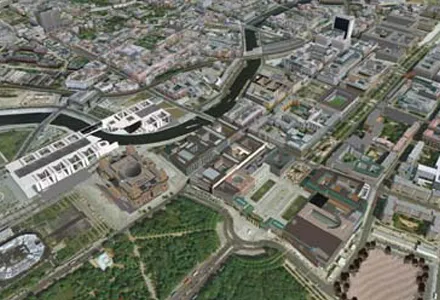
As an aid to design, construction software continues to be a foundation stone in new project development. Autodesk is working with the Incheon Free Economic Zone (IFEZ) and the Incheon Urban Development Corporation (IUDC) to cooperate in the creation of Asia's first Digital City for Incheon.
As an aid to design, construction software continues to be a foundation stone in new project development
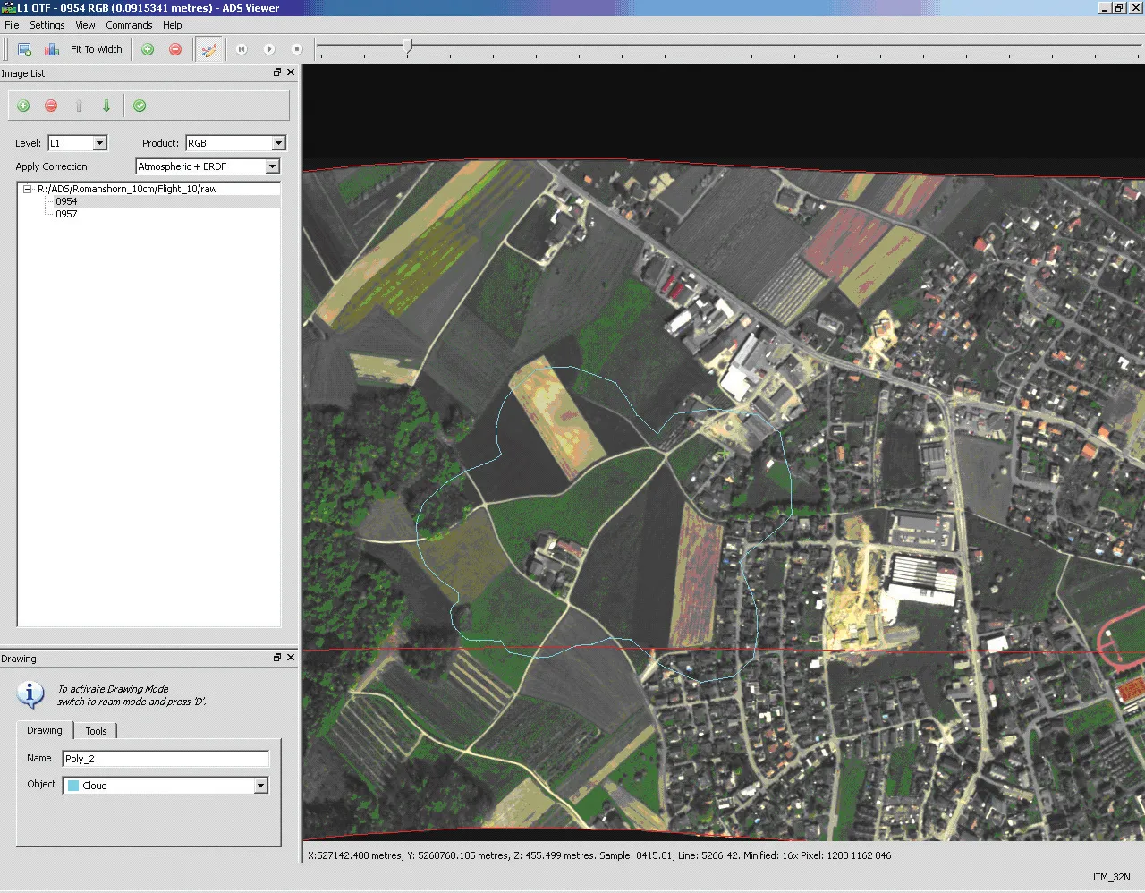
The design stage was one of the first phases of the construction process to benefit from the development of software technology. Software has since become an invaluable aid to all stages of construction projects but the design field remains an area where the development of new software technologies is intense.The Autodesk Design Review 2010 software is available as a free download to users of any Autodesk product including the AutoCAD 2010 family of products. This package offers tools to review, mark up, and measure documents, allowing team members to participate in an all-digital design review process.
Meanwhile the firm has also announced Vancouver as the third pilot city for its Digital Cities initiative. This technology allows the combination of mapping, building, civil engineering, and utility information into an accurate city model that can be used to simulate the future projects. Autodesk's two other pilot cities in its Digital Cities programme are Salzburg in Austria and Incheon in South Korea.
The goal of this pilot programme is for Vancouver to combine 3D models of above and below ground features in a system that allows integration of CAD, building information modelling (BIM), geospatial, civil engineering, and infrastructure data. By combining this data with visualisation, analysis and simulation tools, the city can provide an effective tool to better analyse proposed plans and proposals.
The joint development programme will develop and deliver technologies that can build on the Vancouver's existing resources like VanMap, a web-based map system that combines data such as street names, property lines, zoning information, and locations of sewer and water mains.
By comparison Salzburg is using Digital Cities technology to help manage an aged and prized infrastructure while Incheon is focussing on how to build a new and more efficient city layout.
Introducing the latest design software can make major improvements in operations for the user. In Alberta, Canada, the Transportation Ministry is now opting to use the advanced InRoads V8i Software from
One of the main reasons the InRoads software was selected was because the ministry wants to improve its in-house technical capabilities by providing its engineering teams with advanced design software. Alberta outsources much of its design services to engineering consultants, who submit drawings in MicroStation format. But with a number of engineers at Alberta Transportation retiring, the department wanted to ensure its team could continue to manage the work of the consultants. To do this, it needed design software compatible with its MicroStation-based drafting system. Because InRoads is built on (and integrated with) MicroStation, there is no risk of data loss during drawing conversion.
According to Bentley, InRoads is particularly effective at handling LiDAR survey data, divided highways, and interchange design. The firm says that this package offers a comprehensive range of tools for designing and engineering roads and the system is already well-proven in this field with many government transportation agencies using Bentley's road and bridge solutions and products for their civil engineering needs.
Another reason to select the Bentley product was due to its OnDemand eLearning capability, which can provide a cost-effective solution quality, self-paced learning. The software is supplied through Bentley's SELECT subscription program, giving Alberta Transportation a good return on its investment in Bentley software, training, and services.
PCS Software is aiming its new WINBID_LITE version of its sophisticated Heavy and Highway Construction Estimating System at smaller construction companies. According to the firm, the new package offers smaller contractors a properly structured system for building and presenting complex bids but at a cost-effective price.
The WINBID_LITE system is based on the proven WINBID2000 estimating system, but with some of the more advanced features removed. The structure for building up the cost layers and mark-ups remains and data is stored for each bid in separate computer files, allowing more flexibility for organising, backing up, and archiving the bids. This package also includes a Quotes system, for converting bids into finished proposals and contracts and includes email functions (with its own server).
The system allows users to set up cost details and activities in libraries that can be shared or kept separate. To build a bid, the user enters any number of phases and items, each with its own set of activities, crews, and cost details. Specially designed screens help organise this process even for complex bids and the user then applies the mark-up with another set of specialised functions, finalises the bid and can create any number of quotes. Every detail of every quote is retained in a log and archive, including a copy of the pdf attachment sent with any emailed quote.
Design software can be very specific to certain applications.
The package can be used to generate roundabout geometries, in single or double lane initial configurations based on design vehicle movements and clearance offsets. This means that roundabouts can be designed around the movements that vehicles will make, while modifications and alterations can be inserted quickly and efficiently and do not have to wait until the post design phase.
According to Transoft Solutions, keeping track of all the changes made during the design process can be difficult, however this package allows a designer to manage several variations of a design within a single CAD drawing. A designer can save, recall, and compare different versions without the need to generate various layers and is able to choose and select the best layout to move on to the final design.