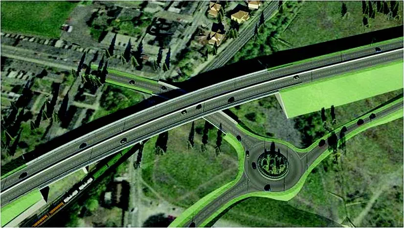
A quick look at various software development in highways – Adrian Greeman. Software for BIM processes, internet cloud based computing to link site and office, and the use of laser scan point-cloud data continue to be the central themes for major software suppliers in the road design area. Developments go hand in hand with the recent strategic agreements that firms like Autodesk and Bentley Systems have made with major survey companies, Topcon and Trimble respectively. The tie-ups, along with acquisitions, m
A quick look at various software development in highways – Adrian Greeman
Software for BIM processes, internet cloud based computing to link site and office, and the use of laser scan point-cloud data continue to be the central themes for major software suppliers in the road design area. Developments go hand in hand with the recent strategic agreements that firms likeFusing the construction process into a continuous production sequence, rather than projects being done as disparate, often disjointed steps, with all the errors, miscommunications and conflicts that waste time and money, is a critical aspect of BIM, building information modelling. Using complex 3D models and systems to pass along attached data about projects is central.
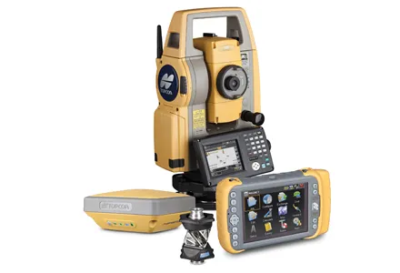
The alliances will be aiming to do that all within one overall system, transferring designs onwards to the automated machine controls, GPS survey checking, site communications systems and increasingly complex site management tools which the survey companies have developed in recent years.
The process continues with the transfer of data onwards again for the maintenance and facilities management stage of an asset life; in the case of Bentley for example, feeding into its AssetWise tools.
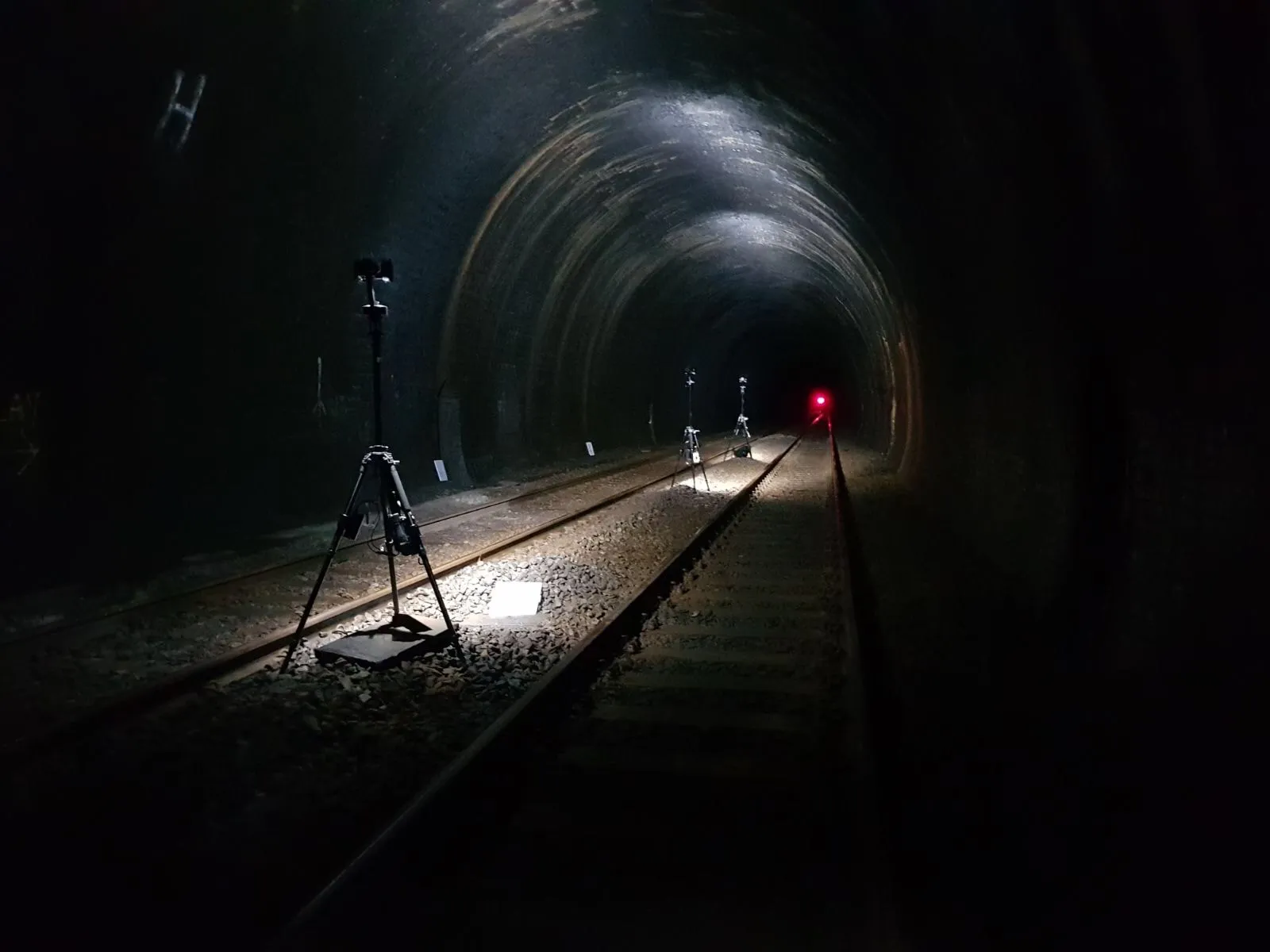
Major synergies are developing in both groups between the rapidly expanding use of laser point-clouds which the survey companies produce and which the design firms are now incorporating into 3D modelling software at a qualitatively new level. Both Bentley and Autodesk have announced major developments in this area.
Autodesk's Topcon tie-up also emphasises use of the internet cloud to exchange information between software tools from design office to the site control that Topcon concentrates on.
One of the first results is a direct link now established in Topcon's MAGNET software suite and AutoCAD WS, the web and mobile application for AutoCAD software. The connection works through the MAGNET Enterprise cloud-based service which is part of the overall productivity software products, and is used to connect mobile and office software products with a web-based interface to company data and assets. The new capability is automatically available to all users of MAGNET Enterprise.
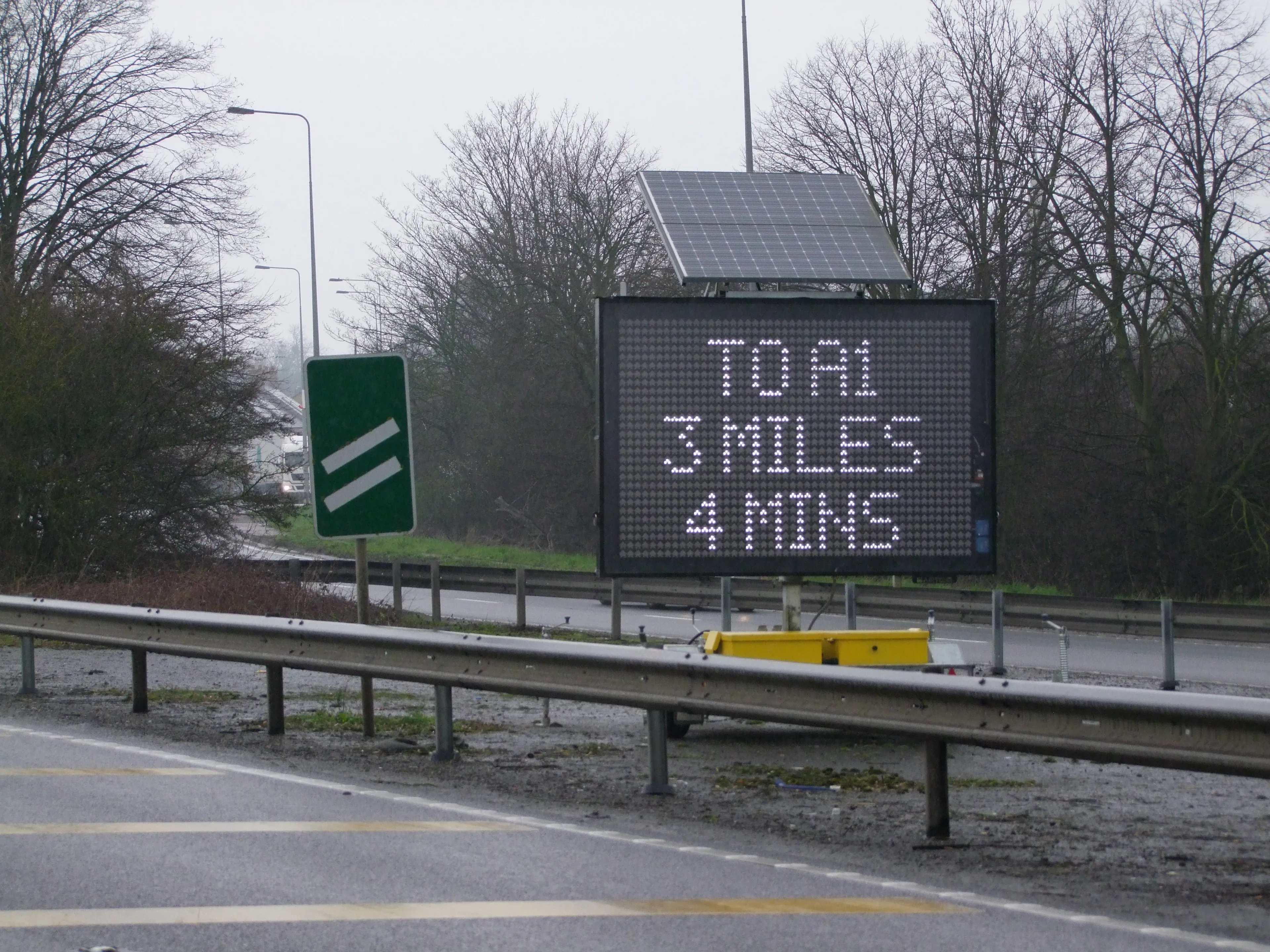
A commitment to mobile device access has also been declared by Bentley which has just launched an app for the iPad to enhance the InspectTech software in its asset management portfolio. InspectTech is used as a cloud software-as-a-service, hosted by Bentley or a client organisation, to organise and manage onsite inspection, reporting, maintenance planning, project prioritisation, and work scheduling. The new app, InspectTech Collector Mobile, allows inspectors of transportation and infrastructure assets to collect a range of information, including photos and audio, in the field on their iPads.
Meanwhile both major providers have announced significant developments in point-cloud handling: Autodesk as part of the launch of its 2014 software versions (see box); and Bentley in a significant upgrading of its Descartes tool, with further developments in the
It was also incorporated into Bentley Descartes, which has long been one of Bentley's offerings for handling raster images and conversions. A completely reworked version was released last year with much enhanced capacities centred around the ability to handle and manipulate point-clouds as a completely independent data format.
A new version has just been released which upgrades and extends the capacities to work, edit and integrate point-clouds into design workflows. Bentley underlines that it benefits from integration with Trimble data inputs and is part of drawing such data directly into information models via pre-processing with Pointclouds.
Linear feature extraction such as white lines on roads, point-cloud class management and tools for handling and managing clipping of clouds are now included. The new v8i SELECT series 4 version also can handle scalable terrain modelling.