Savoy swept-path

Savoy Computing in the UK has been quick to launch a new version of its AutoTrack swept-path analysis software to take advantage of the latest AutoCAD 2012 platform.
February 21, 2012 Read time: 2 mins
2902 Savoy Computing in the UK has been quick to launch a new version of its AutoTrack swept-path analysis software to take advantage of the latest AutoCAD 2012 platform.

AutoTrack v9.10 has full native support for all AutoCAD 2012 and the products that sit above it such as Civil 3D in 32-bit and 64-bit variants.

A key feature now is that the drawing algorithms in AutoTrack take advantage of speed enhancements in AutoCAD, especially the temporary graphics displayed while grip editing and dragging. It gives a much more responsive feel says Savoy.

A context-sensitive AutoTrack ribbon has been programmed in so that clicking an AutoTrack object will automatically display the AutoTrack menu ribbon.

BLOB, Savoy's swept-path analysis software, is to be sold in Brazil by N A Tecnologia which becomes an authorised distributor and Savoy Partner. The Brazilian firm provides software, support and training to engineers in Brazil and South America.

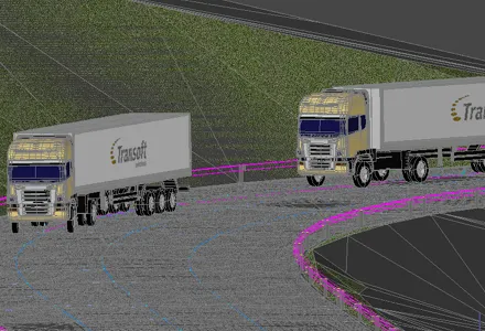
Canadian software house 349 Transoft Solutions has taken vehicle swept-path analysis to a new level with the launch of a three-dimensional version of its AutoTURN analyser.

AutoTURN Pro 3D is based on the same calculation engine as the original program, now in version 8, but works with a three-dimensional design view of a road and its junctions based on a digital terrain model. Alternatively a 2D design can be projected onto a DTM says Transoft.

Using a set of special tools the user pulls along a vehicle selected from an extensive library of international vehicle types which the firm says are accurate in detail and dimensions, and the program then calculates the swept-path both horizontally and vertically, alerting the designer to obstacles and terrain conflicts.

It finds ground clearance, distance to objects and height limitations.

A punch-through cross-section can be seen at any point and the program can be used for visualisations for client presentations after the design has been tweaked.




For more information on companies in this article

Related Content

  • Wirtgen now offers a sophisticated 3D paver control system
    January 30, 2013
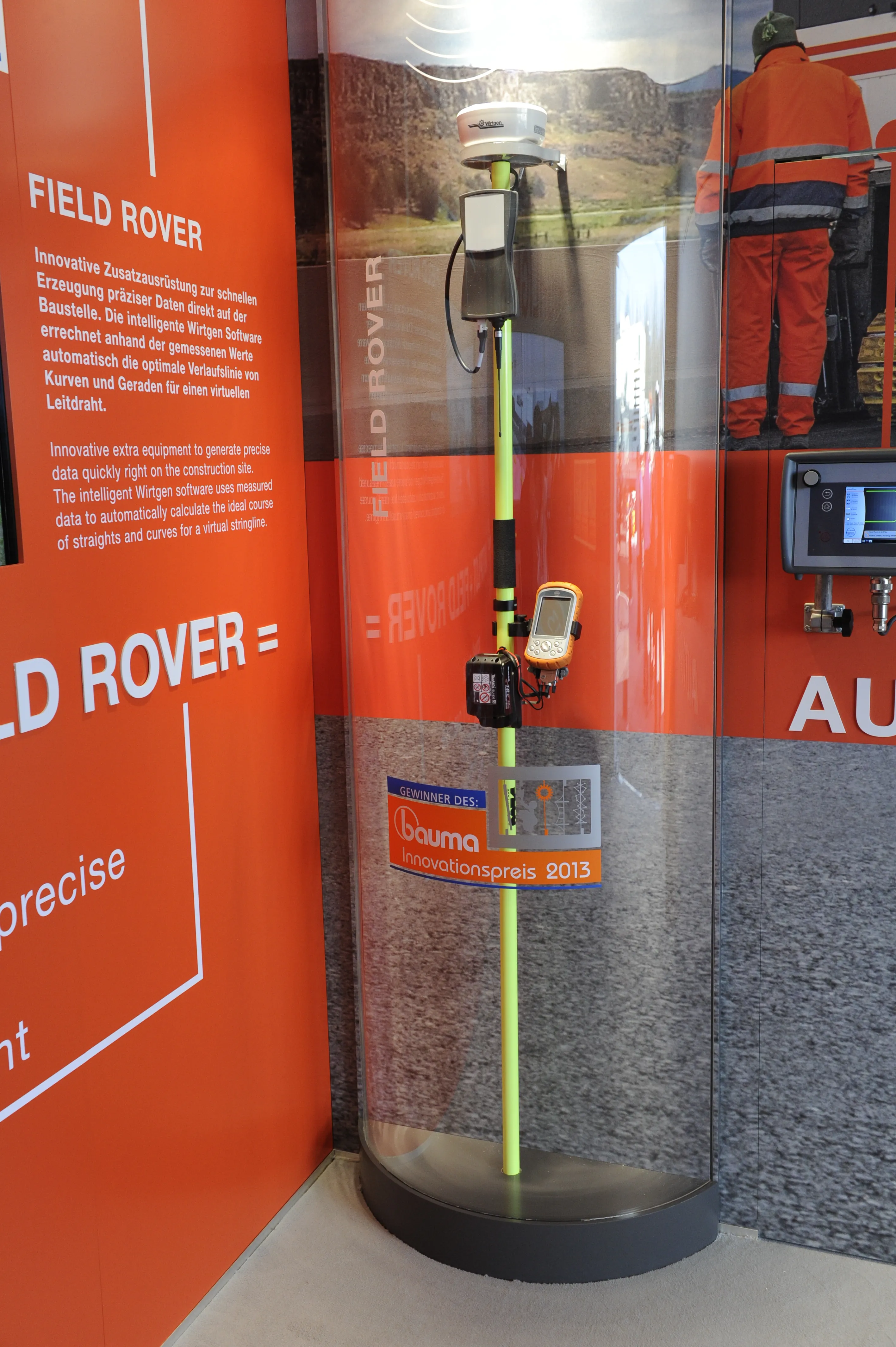
    Wirtgen is introducing its latest AutoPilot Field Rover system which allows fully automatic, stringline-free concrete paving and allows jobs to be carried out more easily, quickly and economically. The system is more efficient than using conventional stringlines and is faster also and its 3D control system comprises a computer integrated into the machine and a control panel. Two GPS receivers mounted on the machine communicate with a GPS reference station on the job site. A digital terrain model is not requ
  • Construction site visualisation tool
    July 12, 2019
    Bentley Systems is now offering its innovative SYNCHRO XR app. This tool is designed for immersively visualising 4D construction digital twins with the new Microsoft HoloLens 2. Bentley has been selected as a Microsoft mixed reality partner and says that using SYNCHRO XR for HoloLens 2, users can interact collaboratively with digital construction models. Users of the tool can utilise gestures to plan, visualise, and experience construction sequencing. Project digital twin data is visualised with the
  • GPS machine control improves construction accuracy
    February 29, 2012
    The latest GPS systems will improve the accuracy of many construction operations. Mike Woof reports. The pace of technological advancement is fast in the GPS market. Despite a market downturn, the GPS solution providers continue to invest in research and development. And there is evidence to suggest that the contracting sector is more keen than ever to employ the latest technology because of the cost benefits this can bring.
  • New project software developed by Bentley
    February 8, 2018
    Bentley Systems claims that its OpenRoads ConceptStation modelling package allows highway engineering professionals to quickly build conceptual road and bridge models. The software allows rapid conceptual and preliminary design, using information obtained through point clouds, reality meshes, GIS, and other sources. OpenRoads ConceptStation combines engineering drawing tools and project costs to improve decision-making in the design phase. Benefits include increasing design productivity, identifying