The high sophistication of GPS machine control systems has resulted in a fast pace of technological advancement. The three major players in the machine control sector, Leica Geosystems, Topcon and Trimble have all made major gains in recent years. The sophistication of the latest systems can combine satellite position data from the GPS and GLONASS networks with information from total stations to provide precise, high speed machine operation. Further more the firms have also prepared themselves for the intro

Innovative GPS technologies are offering high performance construction capabilities - Mike Woof reports
The high sophistication of GPS machine control systems has resulted in a fast pace of technological advancement. The three major players in the machine control sector, Leica Geosystems, Topcon and Trimble have all made major gains in recent years. The sophistication of the latest systems can combine satellite position data from the GPS and GLONASS networks with information from total stations to provide precise, high speed machine operation. Further more the firms have also prepared themselves for the introduction of the European Galileo satellite positioning system. While this network is behind schedule, the machine control sector is already poised to take advantage of the positioning signals when these come on-line.Leica Geosystems,
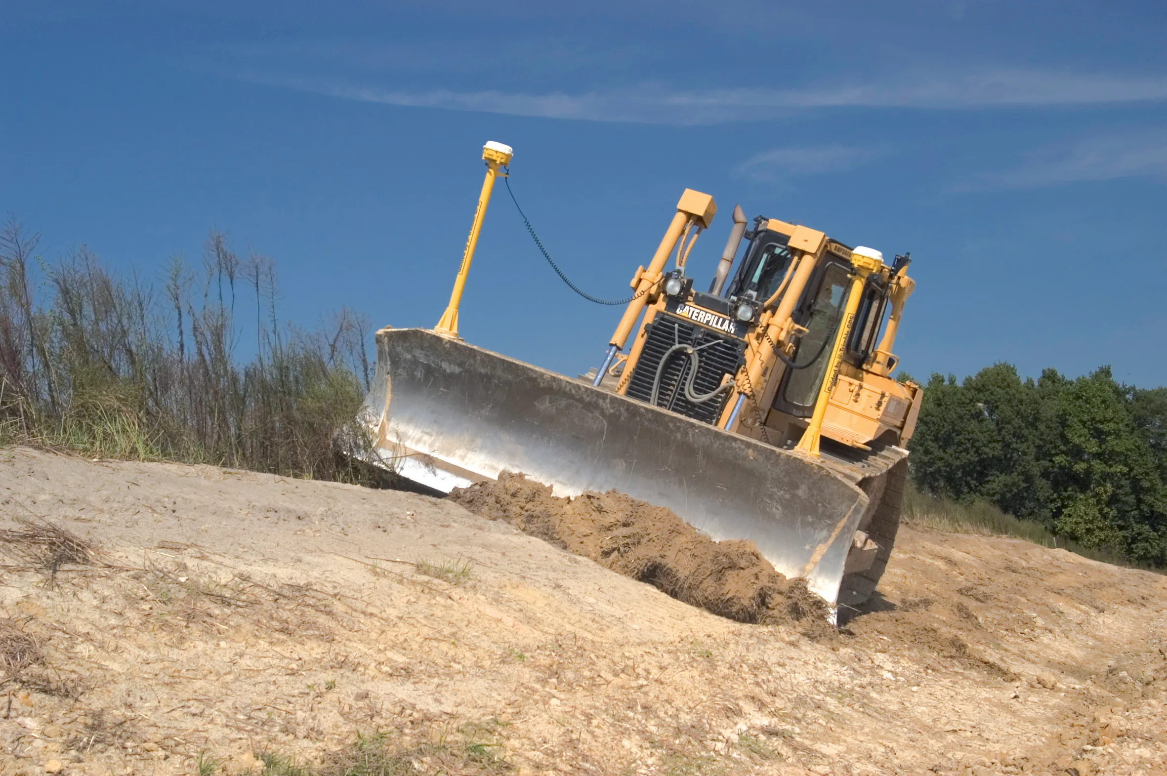
Machine control systems are being adopted rapidly and for the contractor this technology offers key cost benefits. The need for reworking is reduced, ensuring that machines can cut to grade first time. A dozer or grader for example can be run at high speed, with the operator ensuring that the machine stays on course while blade position can be set automatically using these systems. However the three major suppliers are now moving beyond simply providing control packages for single machines. The latest systems, such as Trimble's Connected Worksite, allow contractors to integrate the running of whole fleets of machines, with major advantages in terms of telematics. In addition, the systems can use the Internet to upload programs and commands, directly from the original design model to the various items of equipment. This system also allows the recovery of data on work that is subsequently carried out, which can be analysed to ensure that specifications have been met as required and the whole data set can then be uploaded onto the design model and stored as the record of a project, without the need for any paper copies.
Innovations
Hemisphere GPS is now offering its sophisticated Earthworks X300 excavator guidance package. This integrates the firm's patented Crescent Vector GPS compass technology and can measure and display three-dimensional excavator positioning to operators. According to the firm this improves excavation accuracy and reduces the need for reworking.The 3D X300 package shares features with the X200 2D system launched earlier this year and provides real-time visual feedback to an excavator operator on the position of the machine's bucket teeth relative to the design grade. The X300 can also function in 2D mode when required and the system helps guide the operator through two-dimensional jobs.
The system reduces the need for survey staking and manual grade-checking, which boosts utilisation, productivity and efficiency. This package includes rugged tilt sensors, GPS systems, 3D design file, and an operator touch screen display. Highly versatile, it can be used for coarse and fine-grade excavation applications including site preparation and general earthwork, road construction, utility trenching, complex grading. This excavator guidance tool allows contractors to place for more competitive bids, delivers accuracy and helps boost profitability.
This GPS technology has been proven in other industries and the firm is now looking to expand into the construction sector. The company is also signing Earthworks dealer agreements in the US and Canada and is looking to broaden its worldwide dealer coverage. In addition Hemisphere GPS plans to expand its Earthworks product range with the addition of more excavator and blade solutions.
Meanwhile Hemisphere GPS claims that its new miniEclipse is the smallest dual frequency GPS OEM board on the market. Despite its compact design, the miniEclipse GPS OEM board features the same digital and analogue ASIC design as the recently released Eclipse II OEM board. The miniEclipse unit is offered in the P200TM and P201TM form factors and is a precision (L1/L2) OEM module. The P200 unit is a drop-in board replacement for the successful Crescent board, while the P201 system is configured as a replacement for another industry standard interface. Both the P200 and P201 receivers are said to offer high performance positioning accuracy and low power consumption. The units can function in L1-only SBAS and RTK modes and can be upgraded to dual-frequency RTK solutions, while raw data is available for post-processing.
UK firm Infomap is now using a
Infomap is using Prolec's Digmaster Pro3D machine guidance system along with accurate GNSS hardware from Javad. The system records the position of two antenna points on the rear of the excavator and measures distances and angles, displaying this information in the cab.
Accuracy is provided through corrections by radio link from a site-fixed secure GNSS base receiver, which can be picked up by unlimited numbers of machines within 5km, while a progress map on-screen shows the work on the project as it proceeds.
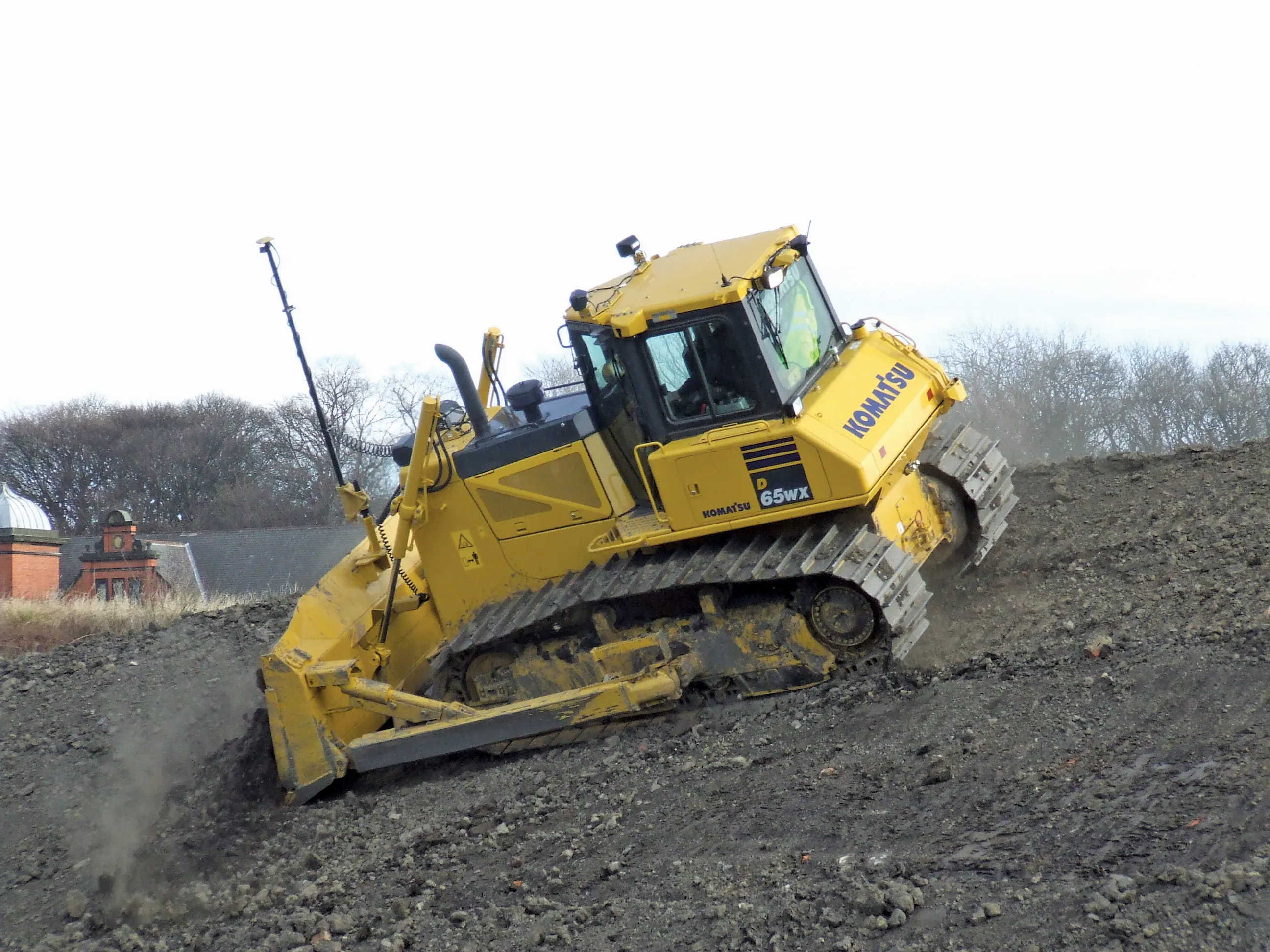
Meanwhile, a new machine control package from Leica Geosystems can boost bulldozer productivity, allowing high precision while operating at high speeds. The system delivers improved hydraulic control for faster grading, as well as smoothness and precision. This package is said to increase machine utilisation and productivity, boosting bulldozer productivity and completing work with less equipment.
The system combines inertial guidance with responsive hydraulic controls, increasing GPS performance and reducing the need for reworking. The ineratial guidance components can increase machine uptime during poor GPS/GLONASS coverage or temporary interruptions of correction signals.
The SP technology is offered as an upgrade for the Leica PowerGrade platform. Contractors can upgrade from the 2D panel to a 3D panel as required, or move panels between sites rather than transporting machines. The cable-free, snap-on system is also said to be easy and convenient for operators. Bulldozers equipped with Leica PowerGrade and GPS can be updated with a simple sensor swap, upgrade of software, and recalibration of the machine.
Mapping solution
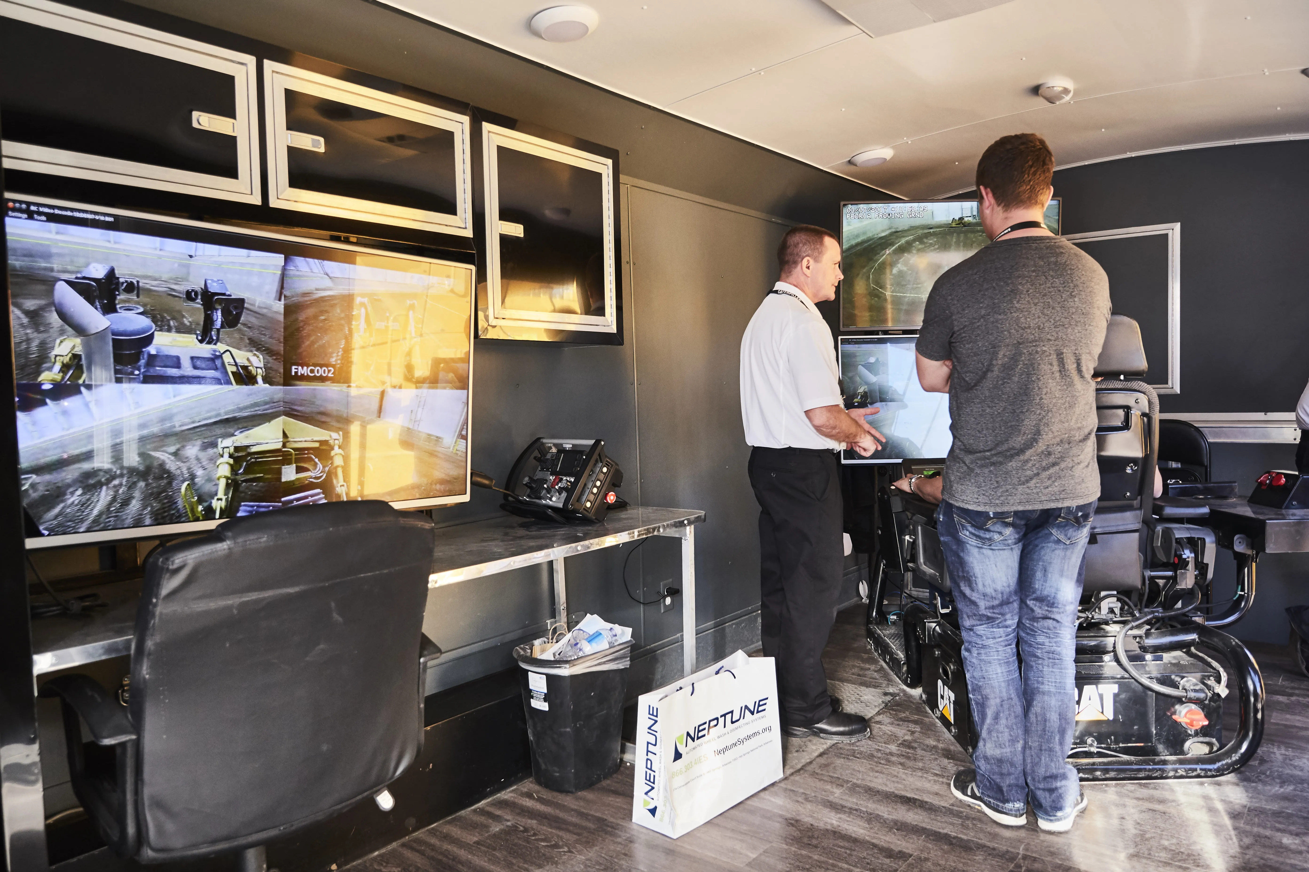
From Topcon the development of a sophisticated mobile mapping system is offering highway authorities a major advance in data collection. The sophisticated IP-52 package is an advanced 3D mobile mapping system. Mat Kellett, in charge of technical sales for positioning instrument at Topcon (GB) said, "It is developed for surveying applications and is designed to be simple to use, so you don't have to be a trained surveyor or engineer to use it." The system is able to survey 1km of highway accurately in just 45 seconds. Kellett said, "There is no technical restriction on the travel speed of the survey vehicle. The only speed restriction depends on how detailed you want the data set." The system can log 30 gigabytes of data/hour, is compact and can be fitted to any vehicle.The package is comprehensive and provides a comprehensive view of the survey area, while unlike some rival systems it also includes an inertial motion unit (IMU), which offers additional benefits. Kellett said, "The system merges 3D point cloud data with digital images. If you've got loss of GPS coverage such as in a tunnel, the system will run with the IMU." Also new from Topcon is the SiteLink package. Michael Kaak, European sales manager for road construction and site management said, "It's a communications system for the whole jobsite. It allows you a full view of the jobsite from the office and you can see all the machines and what they're doing." The SiteLink Advanced also features RTK correction and cut and fill mapping in real time, post process volume calculations and reporting, as well as database storage and database query facilities. The system can work remotely and the Swedish contractor NCC has its server 575km from the working area, with the controller working from home and monitoring the wheeled loaders and excavators being operated on-site. There are benefits in terms of equipment maintenance too and Kaak added, "You have remote access to all parameters on the machine." The technology has gone a long way past just controlling machines though. Trimble for example has been able to introduce a global safety initiative to help vehicle and machine fleets become safer and more efficient. As part of its fleet safety initiative, Trimble introduced the DriverSafety solution, which is designed to provide real-time feedback of unsafe manoeuvres to drivers. At the same time this also gives a comprehensive picture for safety managers and fleet operation teams to measure and mitigate fleet safety risks. Coupled with Trimble's GeoManager for GPS fleet management and vehicle diagnostics, organisations can benefit from telematics and advanced safety reporting in a flexible, integrated solution.
Rick Beyer, vice president of Trimble's Mobile Solutions segment said, "Trimble's DriverSafety solution enables organisations to actively reduce hazardous driver behaviour, which can lead to reduced costs associated with vehicle accidents. It also promotes behaviours that can increase fuel efficiency and further reduce fuel expense and environmental impact."
"Driving behaviour is the largest factor influencing crash costs and fuel inefficiency. Globally, about 6% of all fleet vehicles are involved in an accident each year. Many of these are preventable. And, according to the US.Department of Transportation, up to 33% of fuel consumption can be reduced with less aggressive driving," said Mark Rosenker, former chairman of the National Transportation Safety Board and Trimble Senior Safety Advisor.