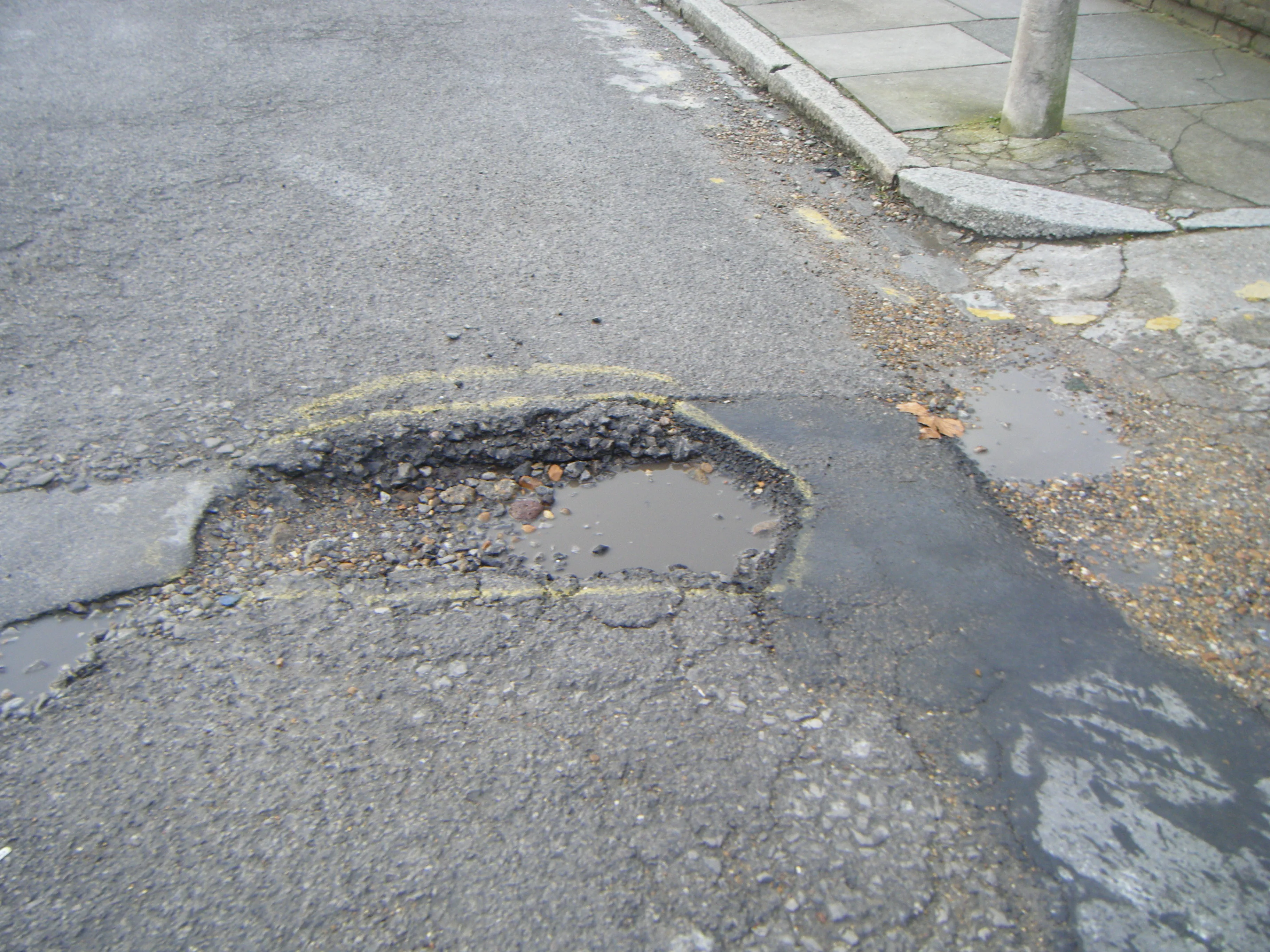
British scanning company 3D Laser Mapping is hoping to benefit from a £3 million ($5 million) fund announced recently by the UK government for police forces to purchase laser scanning technology for accident recording and investigation.
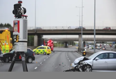
British scanning company 1639 3D Laser Mapping is hoping to benefit from a £3 million ($5 million) fund announced recently by the UK government for police forces to purchase laser scanning technology for accident recording and investigation.
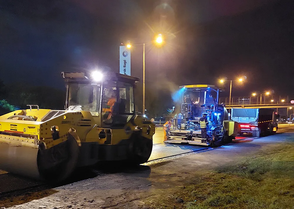
Use of scanners and point cloud software to collect data is speeding up traditional survey measurement and, on motorways particularly, this can save hours of disruption when traffic is held up, a major benefit to the economy. Laser scanning works in low light, night conditions and bad weather and collects far more data than a total station.
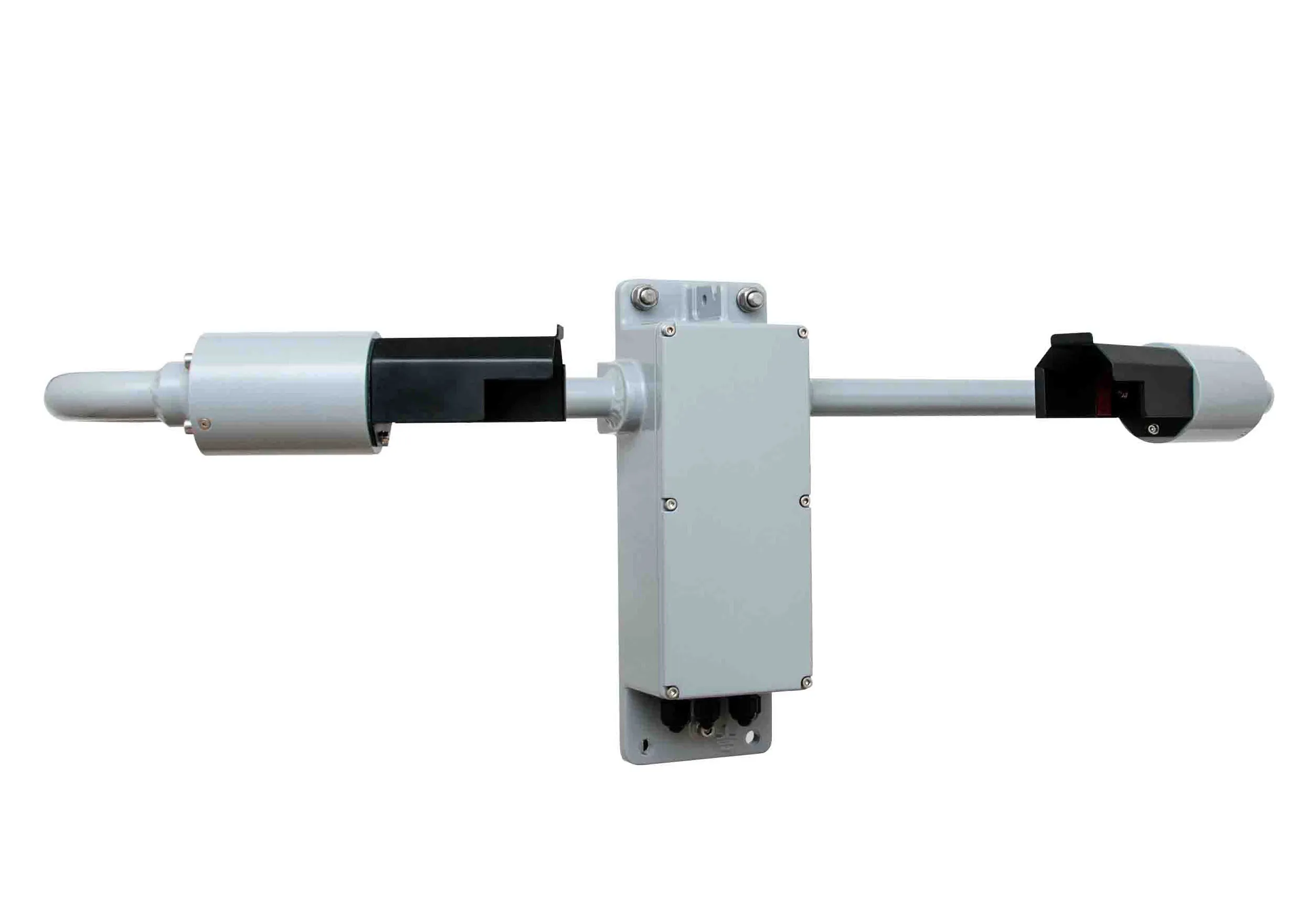
3D Laser Mapping has already supplied one of the UK's road death investigation units with equipment, in this case a Riegl VZ-400 which can produce high quality graphics and detailed plans of collision scenes for court use.
The company claims greater detail and colour compared to other laser scanners.
The VZ-400 has echo digitisation and online waveform analysis for a high performance with accuracies claimed of 5mm at ranges of up to 600m measuring up to 122,000 points/sec in a 100 by 360° field of view.
The evaluation of multiple targets combined with a reliable, robust and lightweight construction makes the VZ-400 also suited to civil engineering the firm says.
Use of scanners and point cloud software to collect data is speeding up traditional survey measurement and, on motorways particularly, this can save hours of disruption when traffic is held up, a major benefit to the economy. Laser scanning works in low light, night conditions and bad weather and collects far more data than a total station.
3D Laser Mapping has already supplied one of the UK's road death investigation units with equipment, in this case a Riegl VZ-400 which can produce high quality graphics and detailed plans of collision scenes for court use.
The company claims greater detail and colour compared to other laser scanners.
The VZ-400 has echo digitisation and online waveform analysis for a high performance with accuracies claimed of 5mm at ranges of up to 600m measuring up to 122,000 points/sec in a 100 by 360° field of view.
The evaluation of multiple targets combined with a reliable, robust and lightweight construction makes the VZ-400 also suited to civil engineering the firm says.