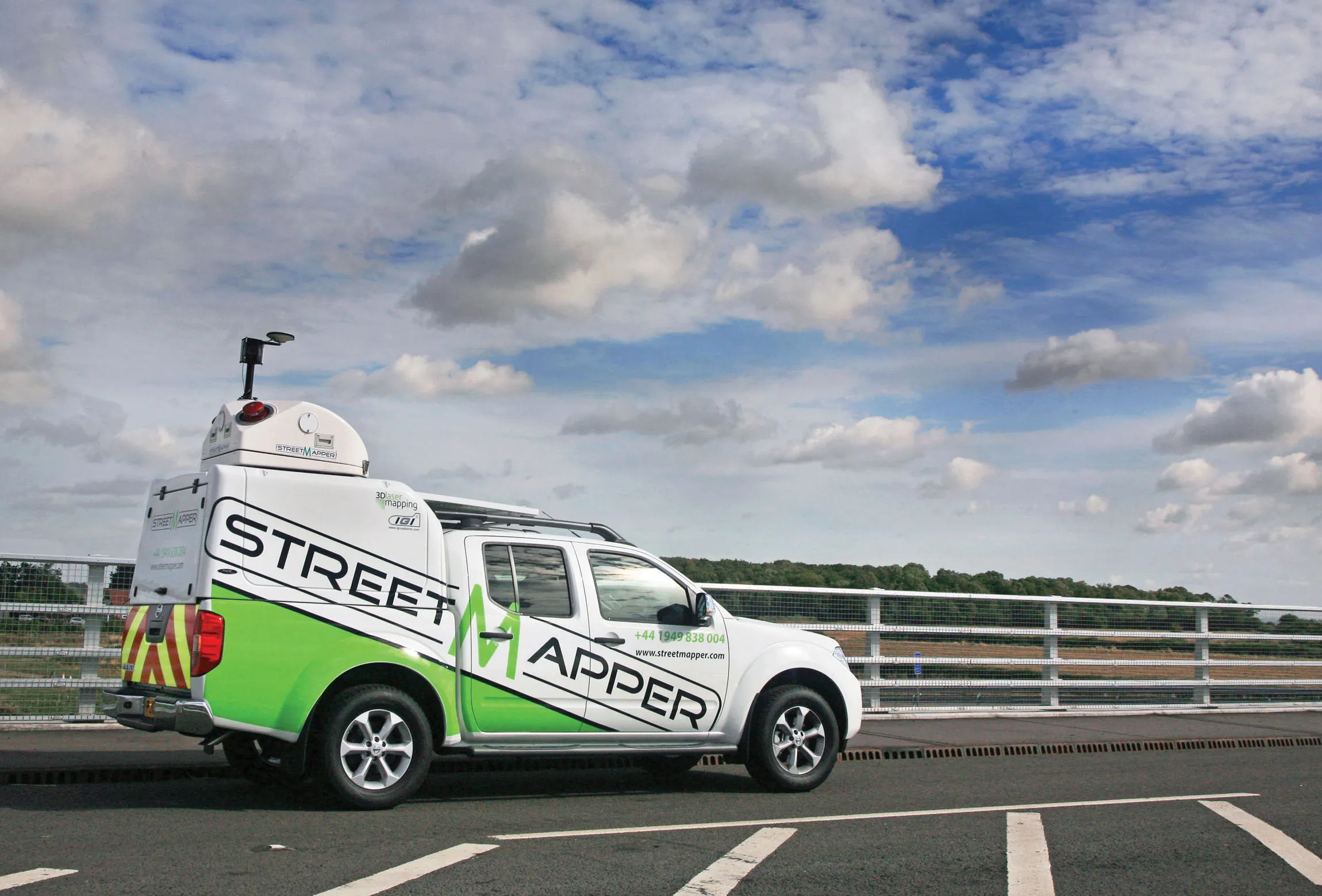
Aerial survey specialist Bluesky is funding research into the development and use of a new system to map the UK’s cities and towns at night. Bluesky has teamed up with the University of Leicester to look at solutions using new high sensitivity camera sensor technology. Mounted on survey aircraft, the new system can record the location of street lights, illuminated road signs and other night-time sources of light. This can deliver an accurate resource for asset inventories, light pollution assessment and ene
RSS
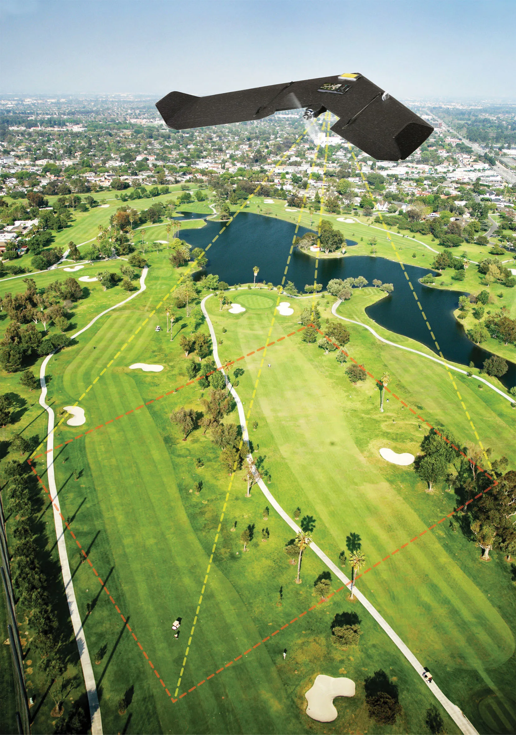
In addition,6242 Bluesky is also offering a fast-response, low-cost aerial survey service using state of the art unmanned aerial vehicles (UAV) or drones. The technology, originally developed by the military, includes artificial intelligence (AI) guided autopilot and a high resolution integrated camera.
Autonomous take-off and landing ensures the system is easy to use and with a wingspan of less than 1m it can be easily transported.
James Eddy, technical director at Bluesky said, “The integrated camera captures high resolution photogrammetric images that can be used to create map accurate aerial survey data including height models. The system is compact and lightweight making it easy to store and transport and can be launched by hand from virtually any location.”
The geographically accurate imagery can provide a record of activity at a given point in time and the highly detailed height models could be used to measure cut and fill volumes and for facilities management and safety monitoring. Large scale construction sites can be surveyed, at regular intervals or predetermined points in time, providing data for project management, reporting and funding. The height data can be used for line of site calculations to ensure compliance with planning applications or cut and fill calculations for project invoicing and for the creation of realistic 3D images for marketing or KPI reporting.
Meanwhile specialist5236 Symology has won a key contract from the UK Government for its Street Works package. The Symology Insight Street Works Management for Traffic Managers (Cloud Edition) is said to build on existing attributes of Symology’s managed service and delivers Symology’s Street Works Management solution in a way consistent with the demands of cloud computing. This includes a point solution for Street Works Management, launch from a standard web browser for ease of user implementation and access and multi-tenanted architecture providing efficient use of ICT. The package also allows businesses to scale their requirements and provides a 12 month minimum contract term.RSS
Aerial survey specialist Bluesky is funding research into the development and use of a new system to map the UK’s cities and towns at night. Bluesky has teamed up with the University of Leicester to look at solutions using new high sensitivity camera sensor technology. Mounted on survey aircraft, the new system can record the location of street lights, illuminated road signs and other night-time sources of light. This can deliver an accurate resource for asset inventories, light pollution assessment and energy optimisation measurements.
The map accurate Nightsky images produced by the new system will be suitable for use in a desktop mapping tool or geographical information system (GIS). Providing intelligence for Local Authorities and other organisations with responsibility for lighting infrastructure Nightsky maps will be used as an aid for street lighting inventories and condition assessments and to assist with the identification of units for routine maintenance or fault repair. It is thought that Nightsky maps will also be used as an aid for research into new LED technologies as organisations across the globe are faced with challenging budget cuts.In addition,
Autonomous take-off and landing ensures the system is easy to use and with a wingspan of less than 1m it can be easily transported.
James Eddy, technical director at Bluesky said, “The integrated camera captures high resolution photogrammetric images that can be used to create map accurate aerial survey data including height models. The system is compact and lightweight making it easy to store and transport and can be launched by hand from virtually any location.”
The geographically accurate imagery can provide a record of activity at a given point in time and the highly detailed height models could be used to measure cut and fill volumes and for facilities management and safety monitoring. Large scale construction sites can be surveyed, at regular intervals or predetermined points in time, providing data for project management, reporting and funding. The height data can be used for line of site calculations to ensure compliance with planning applications or cut and fill calculations for project invoicing and for the creation of realistic 3D images for marketing or KPI reporting.
Meanwhile specialist