The latest GPS systems will improve the accuracy of many construction operations. Mike Woof reports. The pace of technological advancement is fast in the GPS market. Despite a market downturn, the GPS solution providers continue to invest in research and development. And there is evidence to suggest that the contracting sector is more keen than ever to employ the latest technology because of the cost benefits this can bring.
The latest GPS systems will improve the accuracy of many construction operations. Mike Woof reports
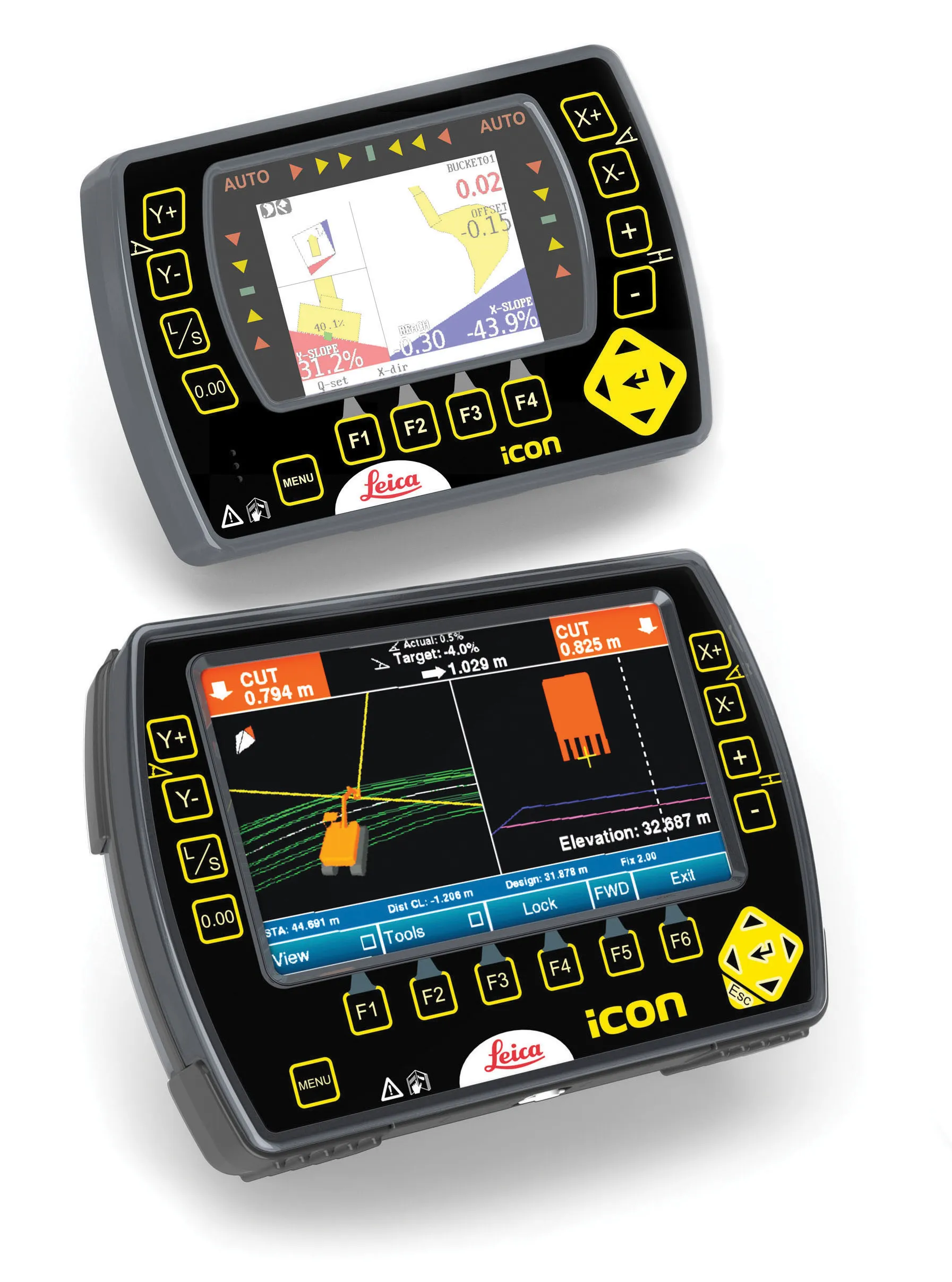
The pace of technological advancement is fast in the GPS market. Despite a market downturn, the GPS solution providers continue to invest in research and development. And there is evidence to suggest that the contracting sector is more keen than ever to employ the latest technology because of the cost benefits this can bring.The new software includes Sky Plot, which allows a machine operator to view GPS and GLONASS satellites available when using MS980 or MS990 receivers. This means that the operator can make judgements on how accurate available position data will be. The operator also can enable or disable use of the GLONASS satellite constellation from the cab when using the MS990 receivers, should this be necessary. Using this sophisticated feature is said to ensure optimum satellite coverage for fast start-up and accurate operation according to Caterpillar. The new software also improves diagnostic support information.
Specific advantages are offered for each machine type and on hydraulic excavators the CD700 display supports site and laser reference, which can be used when GPS or the Universal Tracking System (UTS) are not available. The system supports single GPS, which provides a lower cost entry level 3D system. Similarly, single UTS support allows use of a 3D design when GPS positioning is not available.
On graders, dynamic pitch allows the operator to maintain accuracy when rolling the blade during grading. A blade pitch sensor and a mainfall sensor are required, but the system eliminates the need for the operator to keep the mast vertical when using GPS or UTS.
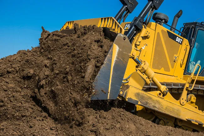
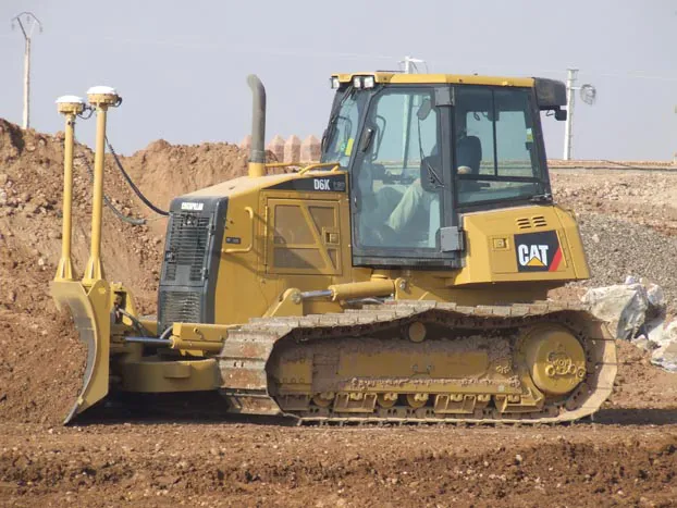
For the D8T, D9T and D10T dozers, an entry level, indicate-only system is available for earthmoving and early site preparation tasks. The system uses a single, cab-mounted GPS antenna.
However, Caterpillar equipment users have other GPS options too and
According to the firm, the 3DMC² technology can speed up positioning calculations by a factor of 10 compared with conventional systems. The 3DMC² machine control system allows a bulldozer to run at full speed when laying out a site while maximising grade quality. The package allows for faster positioning in real time, which means the machine can be controlled to design grade at higher speeds than previously available systems. Because the 3DMC² package uses both GPS+ and GLONASS technology, it provides a far higher rate of location checks and allows more precise positioning and accuracy. Increasing the speed of the dozer can reduce set out time and make a huge reduction in costs, while providing the highest accuracy and ensuring work is carried out to grade, without the need for reworking. This third generation 3D system also uses inertial guidance technology, with a three gyro package from a Swedish supplier. It allows a huge jump in productivity over conventional systems and could even eliminate the need for a grader on-site for finishing work.
The GX-60 unit is 50% lighter than previous control boxes and operates with a 650 MHz Celeron single-board computer. The Windows XP operating system and internal flash drive allows high computing power for large job files. Other features include sealed membrane power on/off buttons,
Earlier this year,
Unlike earlier systems, the GCS900 package is modular in configuration and allows the customer to start with a basic 2D package and then upgrade the technology to a full 3D system later if required. The system can be used with dual or single GPS for use with dozers, scrapers, graders and soil compactors, or with dual only GPS control on excavators. Meanwhile dozer and grader customers can also specify the system for use with dual GPS and laser augmentation, single GPS with laser augmentation or with a universal total station.
Another development from Trimble is the Spectra Precision Laser LR20 receiver for elevation and depth grade control. This system is designed to provide greater grading accuracy and more accurate control of material usage for operators of smaller equipment such as mini excavators, backhoe loaders and small dozers.