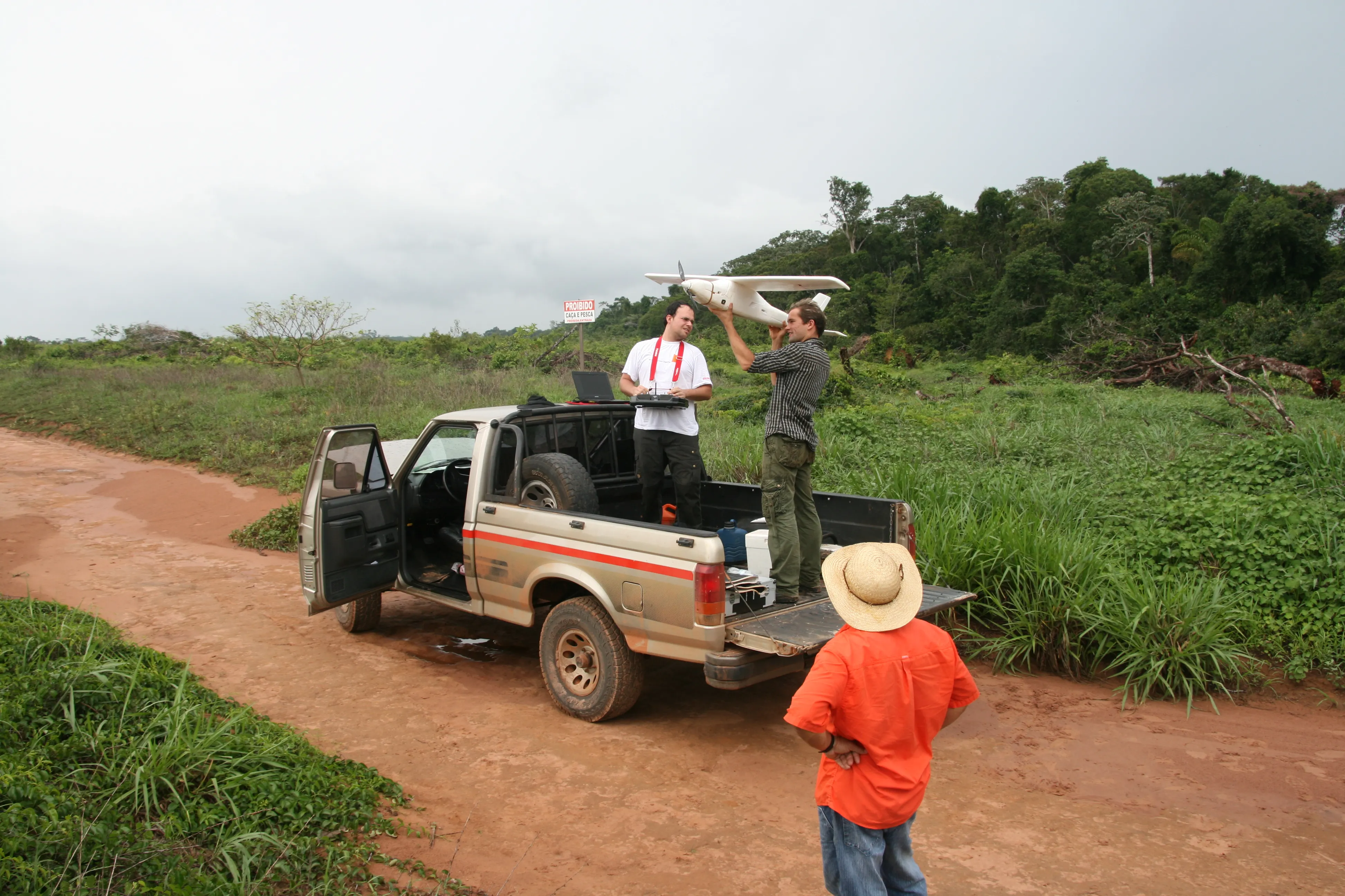
Trimble is widening its portfolio of Connected Site survey solutions for the field and office. These upgraded tools allow surveyors to collect, share and deliver data faster to improve accuracy, efficiency and productivity.

This new technology will help minimize the need for reworking and help boost productivity. Ensuring better connectivity and workflow integration is said to provide surveyors with the flexibility to adapt to a variety of situations in the field and office, according to the firm. The Trimble Access for Integrated Surveying is also available on the Trimble Tablet Rugged PC. This unit is an advanced field controller that offers a high-resolution, 178mm touch screen, which is useful when loading background maps as well as general computing tasks. The Trimble Tablet allows surveyors to run Windows applications in the field and features include flexible communications, GPS navigation and cameras, as well as additional computing power to enable in-field functions such as volume calculations.
Meanwhile, Version 2.40 of the Trimble Business Center Software is a surveying office suite for managing, analysing and processing field survey data, including data from optical instruments (total stations and levels), GPS/GNSS and spatial stations (imaging and 3D scanning data). The package improves the capabilities of surveying offices by offering improved GNSS baseline processing for greater reliability in adverse conditions. The package automatically converts files from Trimble Geomatics Office, while automated creation of Trimble Connected Community directories simplifies the sharing of surveying data and project management.
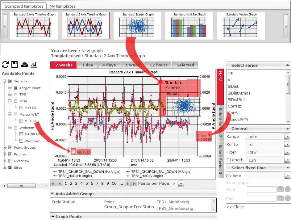
In addition, the sophisticated Trimble 4D Control package comes with advanced features for monitoring duties. This comprehensive solution can be used for real-time and post-processed monitoring and is fully scalable and highly versatile. The package suits monitoring bridges, large-scale construction and excavation sites, landslides, tunnels and other structures. The new features for Trimble 4D Control include support for geotechnical sensors and a user-friendly Web Module.
Users can integrate geotechnical sensors for measuring non geo-referenced movements and pressures in a monitored structure or rock face. Geotechnical sensors, such as tilt meters and piezometers, can be combined with GNSS and optical total stations, each with user defined tolerances and alert levels. The Trimble 4D Control solution also has a new, secure Web Module allowing remote and distributed access from virtually any location worldwide. The interface module can centralise multiple monitoring sites into one control room or enable distributed access to the system within an organisation. In addition, the Web Module can connect up to four user-defined internal or external links (URLs), enabling direct access to on-site Webcams or weather station results.