Intelligent data handling and management technologies are helping boost operating efficiency - Mike Woof reports
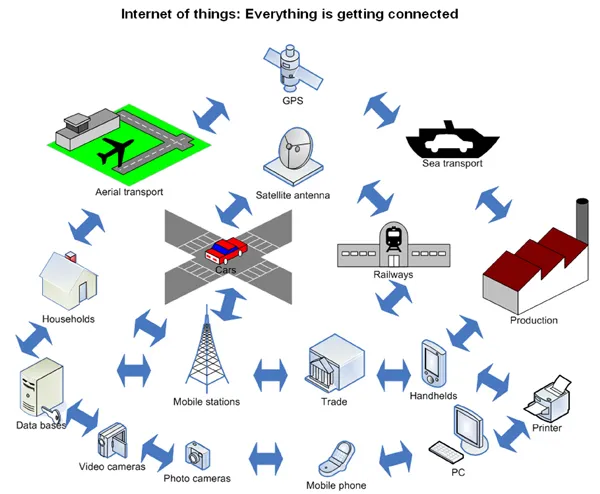
The construction software sector and GIS market are seeing a rapid development of new products and technologies that will help boost efficiency, with factors such as data management and platform integration being key focus areas.
RSS
The package can be used for simulating vehicles on road and offers support for simulations such as external AP analysis results. The company says the product can be used for playback of traffic micro simulation, as well as recording and playback of the UC-win/Road package. The 3D model animation follows Open XML format and the software offers several type of 3D model animation based on model location.
A different approach to visualisation comes from Pitney Bowes, which says that the new MapInfo Professional 10 product offers PostGIS support as well as supporting Layered PDF Output. The upgrade saves cost and time by eliminating the need for additional maps to be produced and provides better access to map layers and improves document sharing for presentations and other tasks.
358 Vianova Systems plans to further improve its products by expanding its development team to meet the growing infrastructure sector in the Nordic region. The increased business for Vianova allows to increase investment on the next generation of 357 Novapoint products which will provide not only 3D but 4D (time) and 5D (costs).
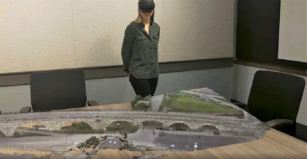
The company says that its Novapoint package provides an advanced 3D engineering solution allowing contractors to view a complete design, over and under the ground with a Virtual Reality interface. The Norwegian Road Administration now requires that design projects include a virtual reality model of the design in addition to standard drawings.
4019 Bentley Systems claims that its ProjectWise Dynamic Plot V8i software service improves efficiency and cuts the time needed to link written comments and digital data as well as increasing the value of project information plotted onto paper.
Using a digital pen, markups can be applied to the patterned plot. After the markups have been applied to one or more drawings, the digital pen is docked to the computer through a USB port. The ProjectWise Dynamic Plot provides automatic digital backup for all reviewer markups, which can otherwise be lost in paper form or overlooked during transfer to a computer.
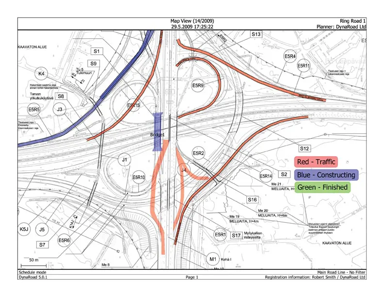
The new2601 Dynaroad 5 project management software is designed for civil engineering and earthworks management applications. Features developed for civil engineering include a task modelling tool that takes locations, quantities and crew production rates into account during planning as well as a tool for viewing tasks, on-site traffic and haul routes active on a map of the project. In addition DynaRoad 5 has a construction control tool that can be used to enter as-built information and monitor progress as well as a function that can forecast the duration of various jobs based on progress information.
The DynaRoad 5 software allows quicker and more accurate planning and analysis compared to traditional tools and consists of three main modules. The DynaRoad Plan function calculates mass balance and haul distances and evaluates costs of different design options. The DynaRoad Schedule tool generates an optimised construction schedule and is also available with the optional mass haul planning support tool.
DynaRoad has a standard Windows Graphical User Interface with printing capabilities and includes graphical views, such as Gantt chart, resource graph, mass haul diagram, map view, time-distance chart and text reports. For mass haul operations, DynaRoad 5's optional mass haul module can create a plan that is calculated automatically based on quantities, bulking factors, possible haul routes and production rates.
According to BID2WIN Software, the new version 1.4 of its BUILD2WIN Field Tracking package allows job site foremen and field managers to monitor production quantities, operator hours, equipment hours and material quantities in real-time. The new field log summary page allows users to see immediate feedback when saving a field log. Details can be viewed in unit costs or total costs for accounts associated with the job or specific accounts and the information can be set to appear when a field log is saved, highlighting daily progress before submitting this for approval. Other new features include the new field log summary page, matching equipment to employee's hours on the field log, tracking billing quantities and specifying a second ID number for each organisation.
265 Leica Geosystems says that its Leica CrossCheck service will help customers benefit from high quality network coordinate calculation, integrity monitoring and deformation monitoring. This web based service is for GPS/GNSS reference and allows detection of site movements, without a client having to invest into software or infrastructure and the system is based on Bernese GPS Software. The firm says this service allows the user to get high performance from network RTK processing software such as Leica GNSS Spider and software for online processing and GNSS data distribution, such as Leica SpiderWeb.
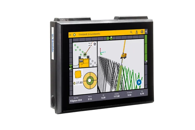
According to2122 Trimble its Connected Community package offers efficiency advantages for construction. This Internet-based set of networking tools can be used by highway construction contractors to connect with internal and external partners and clients. The package allows users to build information portals, share information and collaborate between head office management, site office teams, field crews, subcontractors, suppliers, engineers and clients on a project. The key to its efficiency and accessibility is that all of the construction data for a site can be merged into one place.
Using the system, construction data such as survey information, design, reports and geo-referenced images and more from a Trimble site camera can be merged to create a GIS for the construction project. This allows the contractor to monitor, observe and record project construction remotely.
RSS
Intelligent data handling and management technologies are helping boost operating efficiency - Mike Woof reports
The construction software sector and GIS market are seeing a rapid development of new products and technologies that will help boost efficiency, with factors such as data management and platform integration being key focus areas.Seeing the project
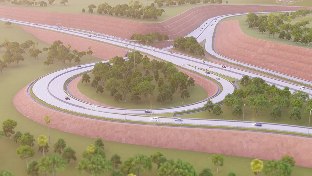
Visualisation tools are essential for construction designers. Forum 8 is offering its sophisticated UC-Win/Road software simulation package that comes with an array of features including 3D animation. The program allows the user to view the surrounding landscape; provide design and construction consultation; allow the visual examination of alternative project options; animation of vehicle movements; and driving simulation. Meanwhile UC-win/Road is able to take data from different CAD and modelling software packages using a variety of formats. This allows the development of 3D models of large areas of the environment to be easily and quickly generated.The package can be used for simulating vehicles on road and offers support for simulations such as external AP analysis results. The company says the product can be used for playback of traffic micro simulation, as well as recording and playback of the UC-win/Road package. The 3D model animation follows Open XML format and the software offers several type of 3D model animation based on model location.
A different approach to visualisation comes from Pitney Bowes, which says that the new MapInfo Professional 10 product offers PostGIS support as well as supporting Layered PDF Output. The upgrade saves cost and time by eliminating the need for additional maps to be produced and provides better access to map layers and improves document sharing for presentations and other tasks.
The company says that its Novapoint package provides an advanced 3D engineering solution allowing contractors to view a complete design, over and under the ground with a Virtual Reality interface. The Norwegian Road Administration now requires that design projects include a virtual reality model of the design in addition to standard drawings.
Design and production management
Using a digital pen, markups can be applied to the patterned plot. After the markups have been applied to one or more drawings, the digital pen is docked to the computer through a USB port. The ProjectWise Dynamic Plot provides automatic digital backup for all reviewer markups, which can otherwise be lost in paper form or overlooked during transfer to a computer.
The new
The DynaRoad 5 software allows quicker and more accurate planning and analysis compared to traditional tools and consists of three main modules. The DynaRoad Plan function calculates mass balance and haul distances and evaluates costs of different design options. The DynaRoad Schedule tool generates an optimised construction schedule and is also available with the optional mass haul planning support tool.
DynaRoad has a standard Windows Graphical User Interface with printing capabilities and includes graphical views, such as Gantt chart, resource graph, mass haul diagram, map view, time-distance chart and text reports. For mass haul operations, DynaRoad 5's optional mass haul module can create a plan that is calculated automatically based on quantities, bulking factors, possible haul routes and production rates.
According to BID2WIN Software, the new version 1.4 of its BUILD2WIN Field Tracking package allows job site foremen and field managers to monitor production quantities, operator hours, equipment hours and material quantities in real-time. The new field log summary page allows users to see immediate feedback when saving a field log. Details can be viewed in unit costs or total costs for accounts associated with the job or specific accounts and the information can be set to appear when a field log is saved, highlighting daily progress before submitting this for approval. Other new features include the new field log summary page, matching equipment to employee's hours on the field log, tracking billing quantities and specifying a second ID number for each organisation.
According to
Using the system, construction data such as survey information, design, reports and geo-referenced images and more from a Trimble site camera can be merged to create a GIS for the construction project. This allows the contractor to monitor, observe and record project construction remotely.
RSS