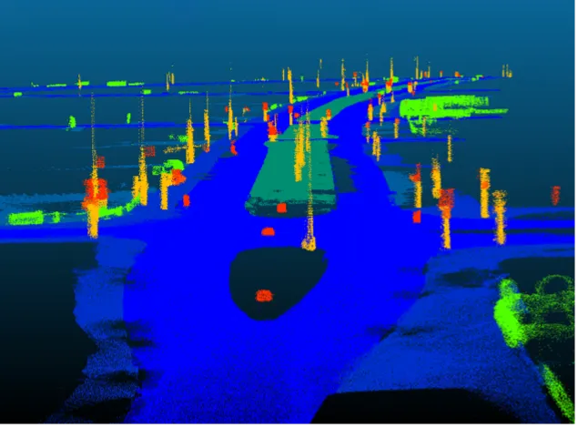
A complex online modelling system for integrating traffic management on the southern Californian road system has successfully completed a major operational trial this spring
The "decision support system" uses the collection of data about the local interstate I-15 and many of the roads which feed into it or lead away from it, to build a comprehensive picture of traffic flows, working with a variety of city agencies,
Data from existing road traffic flow tools and detectors, video, ramp metering, officer reports and other current sources, is analysed for a live computer model. This is combined partly with predictive modelling software, based on microsimulation, to assess congestion build-up in the very near future, perhaps 30 minutes, or "near real-time".
A coordinated response by associate agencies to accidents, excessive traffic flow, or major traffic affecting events such as stadium matches or concerts, can be made more easily using the system. Part of the set-up of the system has been to bring the disparate agencies and government bodies together to work on agreed scenarios to solve problems, rather than seeing only their own particular issues and solutions.
The system, now being applied on the main corridor feeding San Diego and several nearby towns, is a federal level trial being developed by the San Diego Association of Governments (SANDAG). This body contracted
In a statement the SANDAG body says it has "just completed a successful 'coordinated test plan’ with all members of the Interstate 15 integrated corridor management project team. All of the agency partners involved in the project came together to witness the first ever “fully automated” multimodal corridor handling of a freeway incident in the US. The traffic management decision was successfully made entirely based on automatically triggered real-time simulations of the entire multimodal transportation network."
The decision support system being developed here is part of a national initiative begun in 2006 by the
Following the success of the I-15 testing, the Federal Highways Administration is evaluating new sites and corridors for further sponsored implementations of ICM in the US.
Aimsun commented that its simulation program architecture being incorporated into the system "ensures that what is being simulated reflects the actual state of the network while also providing scalability and quick response times."
California traffic management system using simulation has successful trial
A complex online modelling system for integrating traffic management on the southern Californian road system has successfully completed a major operational trial this spring
The "decision support system" uses the collection of data about the local interstate I-15 and many of the roads which feed into it or lead away from it, to build a comprehensive picture of traffic flows, working with a variety of city agencies, federal highway administration and services such as police and crash data.
Data from e
May 16, 2014
Read time: 3 mins


