Latest software packages from Bentley Systems will help optimise project design and construction efficiency – Mike Woof reports
Software systems have come a long way in helping optimise construction projects from design through construction to delivery. And the latest software from Bentley Systems offers additional capabilities for road design applications. Bentley Systems is offering the V8i (SELECTseries 3) versions of its InRoads, GEOPAK, and MXROAD products.
All of the products now share the
Latest software packages from Bentley Systems will help optimise project design and construction efficiency – Mike Woof reports
Software systems have come a long way in helping optimise construction projects from design through construction to delivery. And the latest software fromAll of the products now share the powerful and unifying capabilities of Bentley’s OpenRoads technology, which allow BIM capabilities through information modelling for multi-disciplinary roadway teams. This new suite is said to allow better design decisions, increased construction awareness, and interoperability for asset management. OpenRoads also allows users to use existing civil engineering software, including previous releases of InRoads, GEOPAK, MXROAD, and country-specific PowerCivil. At the same time, it follows established required standards for drawing, engineering specifications, engineering computations, and roadway design.
The OpenRoads suite is said to offer the common workflow, data structure, and modelling tools needed to deliver accelerated project delivery requirements. Among the requirements it supports are those of the US Moving Ahead for Progress in the 21st Century (MAP-21) Act and the UK’s BS 1192 methodology for managing the production, distribution, and quality of construction information.
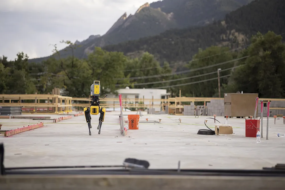
Based on MicroStation, Bentley’s information modelling package, the new Bentley Descartes V8i product offers point-cloud processing for information modelling workflows. It is said to provide a powerful toolset for processing and integrating point clouds and scalable terrain models, as fundamental data types through engineering and operations workflows. The point-clouds processing capabilities allow users to enrich and interpret data for downstream workflows. This increases the usability and value of point clouds in infrastructure applications. The package also delivers design-time visualisation within Bentley’s civil applications, such as InRoads V8i, using OpenRoads technology. Point-clouds that are processed and geo-coordinated with Bentley Descartes V8i can be streamed for reuse across collaborative AECO and asset management workflows.
Ron Gant is Bentley’s global marketing director for Civil and Transportation and he said, “This marks a milestone for us. We’d been working on a lot of technology in the background. It’s what we’re calling the Open Roads Technology.”
This provides a common link for some of the products that the firm has developed in-house with others that it has acquired over the years. The compatibility issue is a key one and Gant said that data from earlier generation products can be used in the latest software. “One of the things we’ve strived for is that everything created can be brought forward and used again.”
He added that the data is not backwards compatible however and it is not possible to take information from current generation products and use this in any earlier programs still in use.
Robert Mankowski is vice president, simulation product management, and he highlighted the importance of point- cloud technologies. He said, “Point-clouds have become both vital and pervasive in infrastructure design and management use cases. And now Bentley delivers an unprecedented portfolio of software for processing, managing, streaming, and reusing persistent point-clouds. To date, point-clouds have been technically consigned to merely a ‘disposable’ survey cost. But now, with our fast and powerful Vortex engine extended beyond MicroStation to ProjectWise Point-cloud Services, point-cloud datasets comprising unlimited billions of points, captured from virtually any scanning source and then processed with Bentley Descartes V8i, can deliver investment returns through information mobility, securely and with integrity."
The issue of engineering standards is another key point and Mankowski said, “Users spend a lot of time building standards. Importantly, the time and money they’ve put into design standards, like road design standards, can also be brought forwards.”
These standards can include an array of areas and Mankowski said, “They can be anything from hydrology standards and computation methods or as simple as the way particular drawings are presented. The things that vary from company to company can be quite broad.” He added that transitions and construction rules can vary from country to country.
Mankowski said, “You can take a design date and move through the workflow for the device into machine control. We do have a relationship with
The interaction between the Bentley software and machine control packages from other firms has also been improved, which will help with operations on the construction site. Bentley Systems and Trimble are working jointly to ensure their products integrate fully and Gant said, “We support Trimble,
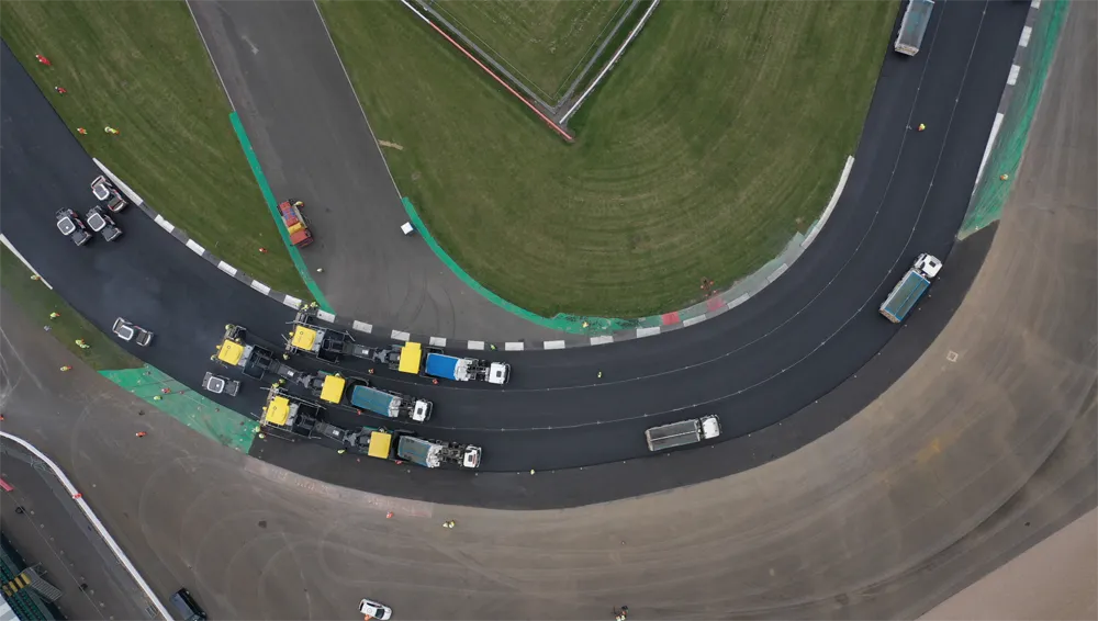
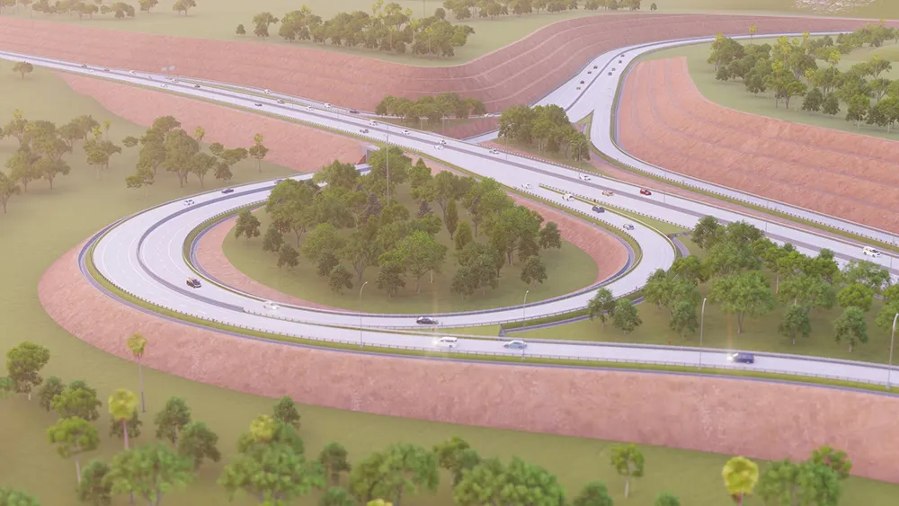
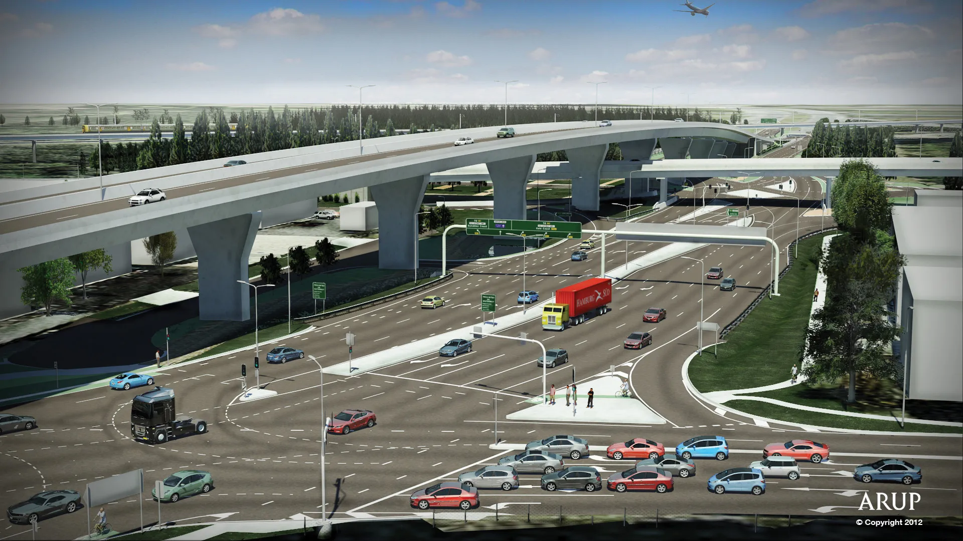
Advantages of OpenRoads Technology include the ability to work with any data available for their design or survey projects from sophisticated data acquisition: photogrammetry; total station surveys; GPS; LiDAR; point-clouds. The new releases can upload the data and analyse and manipulate it, all while ensuring the original data’s provenance. The suite also can improve conceptual and preliminary stages within the modelling workflow, as well as make designdecisions while building dynamic models, and quickly respond to road rehabilitation projects.
In addition, the OpenRoads Technology can help ensure project engineering accuracy with embedded design intent that maintains associations and relationships between civil elements. It can also facilitate better design decisions through design-time visualisation and boost design quality through immersive modelling by combining plan, profile, and cross-section workflows with 3D modelling technology. In addition it can increase productivity with integrated corridor and site design and accelerate design production with civil cell functionality that helps engineers repurpose common 2D and 3D geometric configurations in design layouts.
The new capabilities for Descartes V8i include linear feature extraction, which means road features such as centre lines and road markings, can be extracted to improve comprehension and focus on the feature or features to be managed. Point-cloud class management allows users to create classes, organise points into these classes, and control which are shown or hidden with any presentation. With the sections and section manager, users can cut point-clouds in cross sections and easily streamline the 3D view configuration process. Geo-coordination for point-clouds allows the integration of point-clouds from different coordinate systems, speeding their integration into information modelling workflows. Scalable terrain modelling shows terrain visible from a selected point or along a path to improve the interpretation of terrain models.
Some US states are further ahead than others with regard to using 3D data models. Gant said, “We still have paper documentation as the record. The licence agencies have not caught up.”
Gant said, “One thing we need to keep in mind is the vision in 3D design to keep information mobile.” He added that allowing this mobility of data from the design to construction and back is crucial for efficient BIM operations and for government agencies.