Advanced surveying

Personnel using Spectra Precision FOCUS solutions can now benefit from a more robust set of tools. This field software provides a wide array of tools to cope with an array of survey and construction projects. One key new feature is the LandXML Road support for laying out engineering and road profile elements, as this can improve dataflow and efficiency on site. In addition, external data streaming for the output of measurement and positional data from Survey Pro in an XML output means that data can be adapt
February 9, 2012 Read time: 1 min
Personnel using 2373 Spectra Precision FOCUS solutions can now benefit from a more robust set of tools. This field software provides a wide array of tools to cope with an array of survey and construction projects. One key new feature is the LandXML Road support for laying out engineering and road profile elements, as this can improve dataflow and efficiency on site. In addition, external data streaming for the output of measurement and positional data from Survey Pro in an XML output means that data can be adapted to specific needs. And in Survey Pro version 4.10, the Spectra Precision Solution Improvement Program allows a user to opt-in to provide information about how field software is used, allowing future upgrades to benefit from field data.

For more information on companies in this article

Related Content

  • Sophisticated technology allows milling accuracy
    January 14, 2021
    Given the increase in vehicle numbers and that modern vehicles are heavier, it is more important for modern highways to be constructed to higher standards than previously.
  • Yotta upgrades asset management package
    May 19, 2015
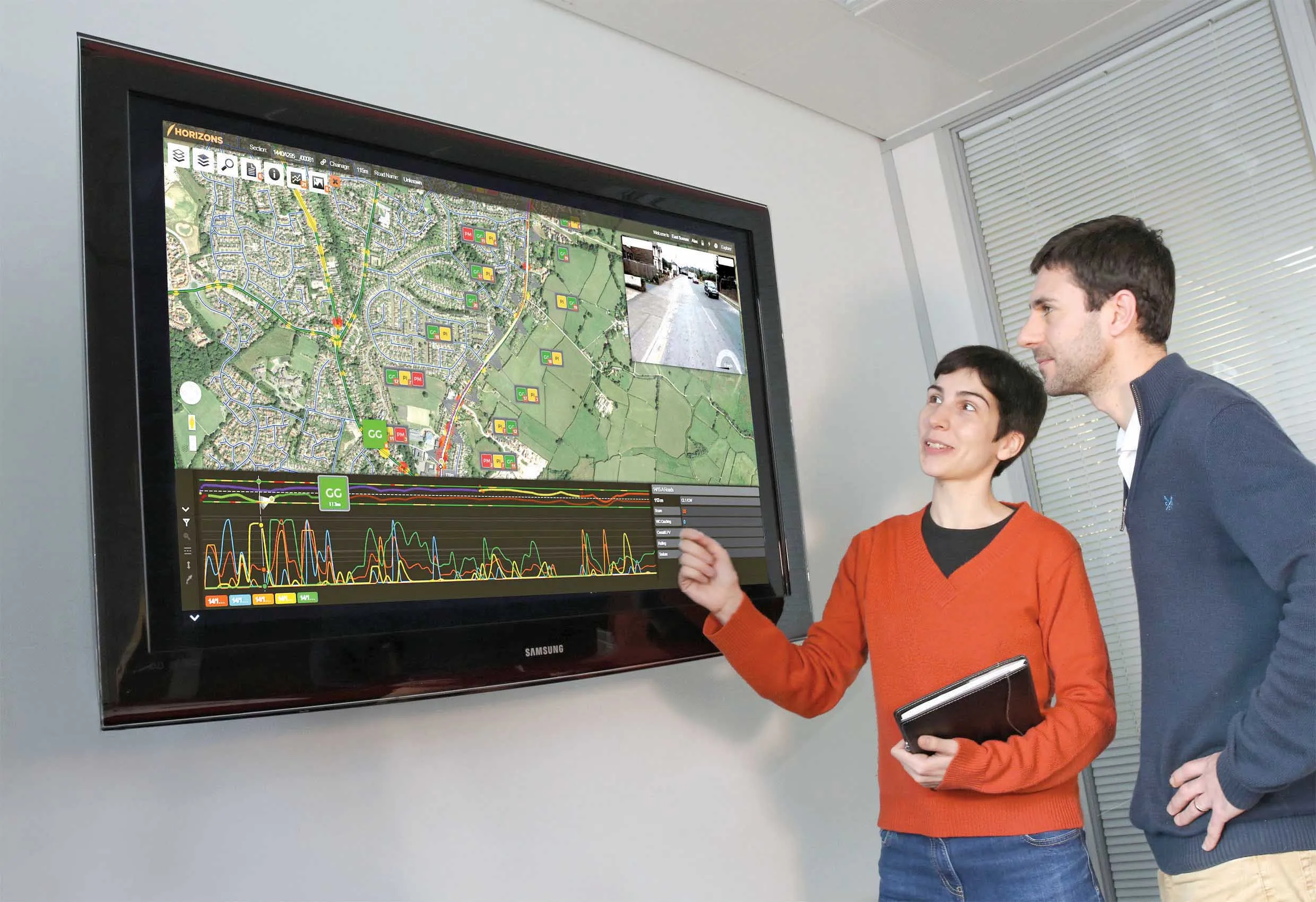
    Yotta is now offering the latest version of its Horizons visualised asset management platform. Version 2.6 of the package is said to provide a better user experience with improved visualisation. The latest version of the cloud-based solution also offers improved transparency with upgraded reporting providing clear and auditable work trails. Users of Horizons 2.6 can now directly link documents and images in Horizons, improving access to detailed information about a specific asset through the use of phot
  • Highway design software developments
    February 21, 2012
    New advanced software is being released for use by those involved in highway design as Adrian Greeman reports. The growing importance of BIM, building or project information modelling, as a design and construction process, and not just 3D modelling, is the driving force for the latest 2012 versions of Autodesk's comprehensive range of software for civil engineers. This is reflected in a new packaging of its various software tools into suites (along the lines of Microsoft's office suites) tailored to variou
  • Spectra Precision introduces new GNSS RTK rover
    January 6, 2017
    Spectra Precision is introducing its sophisticated ProMark 700 system, a GNSS network RTK rover aimed at duties in land survey applications. The unit weighs in at only 650grammes and is said to be the lightest GNSS RTK smart antenna available on the market. Its light weight, together with its compact and slim design, makes the unit the receiver portable and comfortable for field use. It features a long battery life, a rugged, waterproof design and a wide operating temperature range, allowing the ProMark 700