Advanced surveying

Personnel using Spectra Precision FOCUS solutions can now benefit from a more robust set of tools. This field software provides a wide array of tools to cope with an array of survey and construction projects. One key new feature is the LandXML Road support for laying out engineering and road profile elements, as this can improve dataflow and efficiency on site. In addition, external data streaming for the output of measurement and positional data from Survey Pro in an XML output means that data can be adapt
February 9, 2012 Read time: 1 min
Personnel using 2373 Spectra Precision FOCUS solutions can now benefit from a more robust set of tools. This field software provides a wide array of tools to cope with an array of survey and construction projects. One key new feature is the LandXML Road support for laying out engineering and road profile elements, as this can improve dataflow and efficiency on site. In addition, external data streaming for the output of measurement and positional data from Survey Pro in an XML output means that data can be adapted to specific needs. And in Survey Pro version 4.10, the Spectra Precision Solution Improvement Program allows a user to opt-in to provide information about how field software is used, allowing future upgrades to benefit from field data.

For more information on companies in this article

Related Content

  • Airport expansion for the Maldives assisted by Trimble
    September 6, 2019
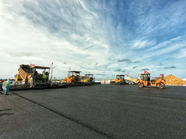
    An airport redevelopment and expansion project in the Maldives has been assisted by the use of technology from Trimble. In 2016 the Chinese firm Beijing Urban Construction Group (BUCG) was awarded the contract for the expansion of the Ibrahim Nasir International Airport on Hulhule island in the Maldives, which is part of the Indian Ocean island group. The massive US$440 million expansion and land reclamation work is intended to boost capacity at the Maldives Airport. BUCG has utilised Trimble field solu
  • Improved construction software from Topcon
    June 22, 2021
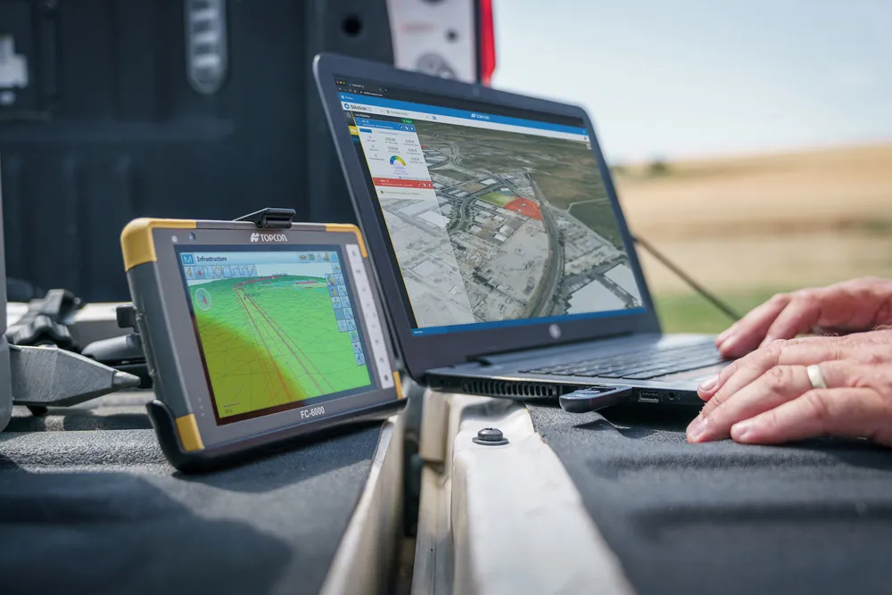
    Topcon Positioning is introducing the latest version of its software package for construction and survey professionals: MAGNET 7.
  • Road accident data management
    July 19, 2012
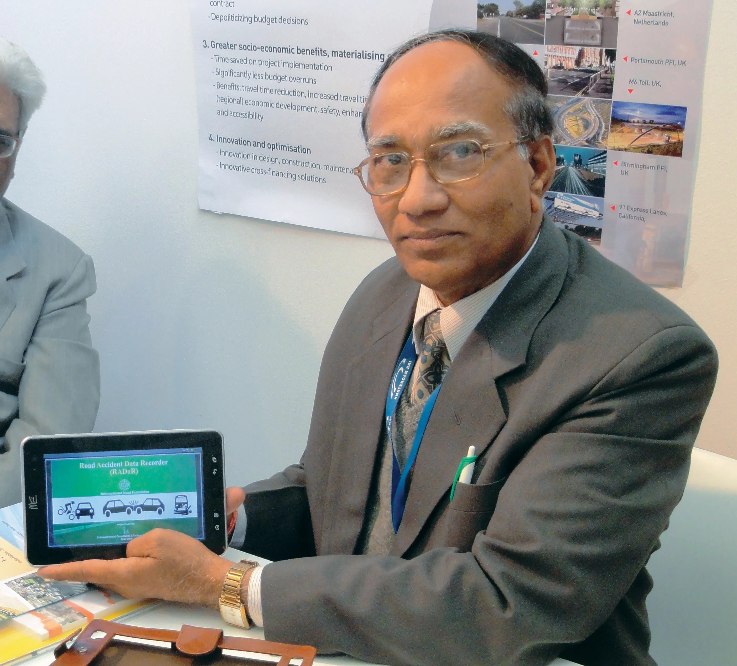
    IRF Geneva unveils a modern solution for road accident data management. This year's Intertraffic Amsterdam exhibition provided a high-profile backdrop for the launch of RADaR, a pioneering new tablet application developed to facilitate the on-site collection of precise and scientific accident data, primarily by traffic police. Introducing the application to an international audience gathered in the venue’s inaugural Smart Mobility Centre, IRF Geneva's director general, Sibylle Rupprecht, highlighted RADaR's
  • Topcon’s new survey solution
    October 27, 2016
    Topcon Positioning Group’s new surveying suite features four integrated solutions, comprising three hardware products and a single software system. The firm says that this package provides users with a powerful survey system. The Topcon Elite Survey Suite includes the new GT series of robotic total stations, HiPer HR hybrid GNSS receiver, FC-5000 field computer and MAGNET 4.0 software system. According to Topcon, users can benefit from advanced geo-positioning products and technology in one system.