Advanced surveying

Personnel using Spectra Precision FOCUS solutions can now benefit from a more robust set of tools. This field software provides a wide array of tools to cope with an array of survey and construction projects. One key new feature is the LandXML Road support for laying out engineering and road profile elements, as this can improve dataflow and efficiency on site. In addition, external data streaming for the output of measurement and positional data from Survey Pro in an XML output means that data can be adapt
February 9, 2012 Read time: 1 min
Personnel using 2373 Spectra Precision FOCUS solutions can now benefit from a more robust set of tools. This field software provides a wide array of tools to cope with an array of survey and construction projects. One key new feature is the LandXML Road support for laying out engineering and road profile elements, as this can improve dataflow and efficiency on site. In addition, external data streaming for the output of measurement and positional data from Survey Pro in an XML output means that data can be adapted to specific needs. And in Survey Pro version 4.10, the Spectra Precision Solution Improvement Program allows a user to opt-in to provide information about how field software is used, allowing future upgrades to benefit from field data.

For more information on companies in this article

Related Content

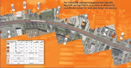
  • Workszone design and planning software
    March 6, 2012
    Managing utility works effectively is important, given that digging up roads and then patching them can dramatically cut the life of a road surface. New software tools make this process easier to manage effectively and Bentley Systems is extending its Expert Designer V8i package to include water, gas, and communications infrastructure, in addition to electric utilities. This allows utility firms and engineering contractors using Expert Designer V8i to boost the efficiency of utility network design projects.
  • Wider range of survey software functionality
    February 9, 2012
    Leica Geosystems is offering a broad spread of new packages and hardware that will deliver improved performance to users. The firmware 2.0 product is said to add powerful new capabilities to the Leica ScanStation C10, the industry's most popular 3D laser scanner for as-built and topographic surveys. This further increases the productivity and versatility of the fully integrated, cable-less ScanStation C10. A new Setup facility lets users take advantage of known survey points and backsighting, while remote,
  • Laser scanning focuses on asset management
    January 9, 2015
    Laser scanners and improved data collection and analysis software are making light of asset management surveying. David Arminas reports The age of the laser scanner is upon us, taking over from traditional manual methods of surveying, data collection and processing. These new technical developments are making it much easier to process and use the data captured and are providing highways engineers with powerful tools to record, map and visualise their assets. This is good news for highways authorities
  • Don't buy, subscribe instead... and stay ahead of the pack
    September 19, 2024
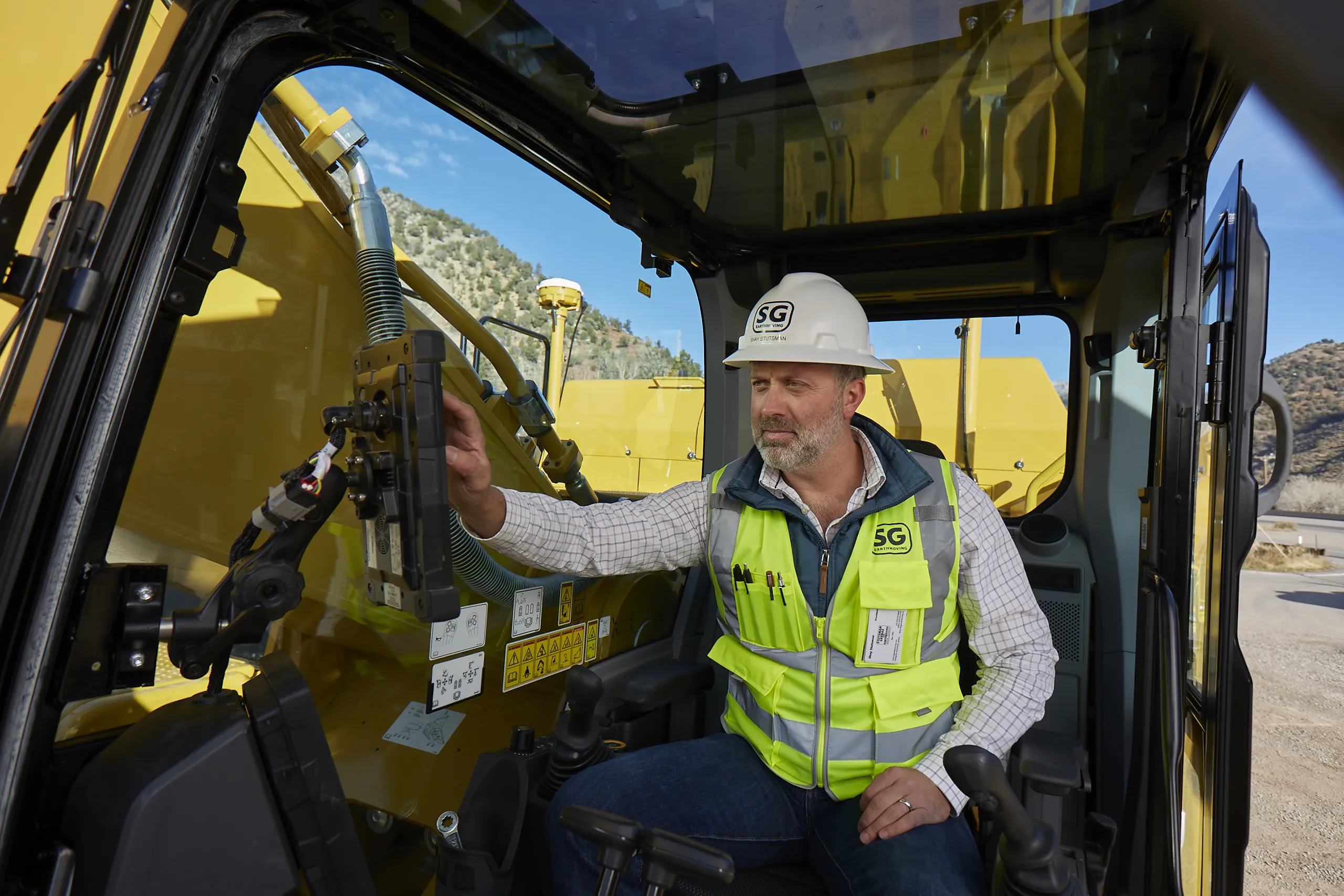
    The traditional way of doing things is to own the construction equipment you need on site. You can buy, or you can rent. You mix and match your technology needs with what is happening on site and your costs go up and down accordingly. However, a new model is emerging: Subscriptions. Take out a flat-fee plan and let someone else make sure you can get access to the latest thinking and the cleverest technology. Pete Kennedy reports.