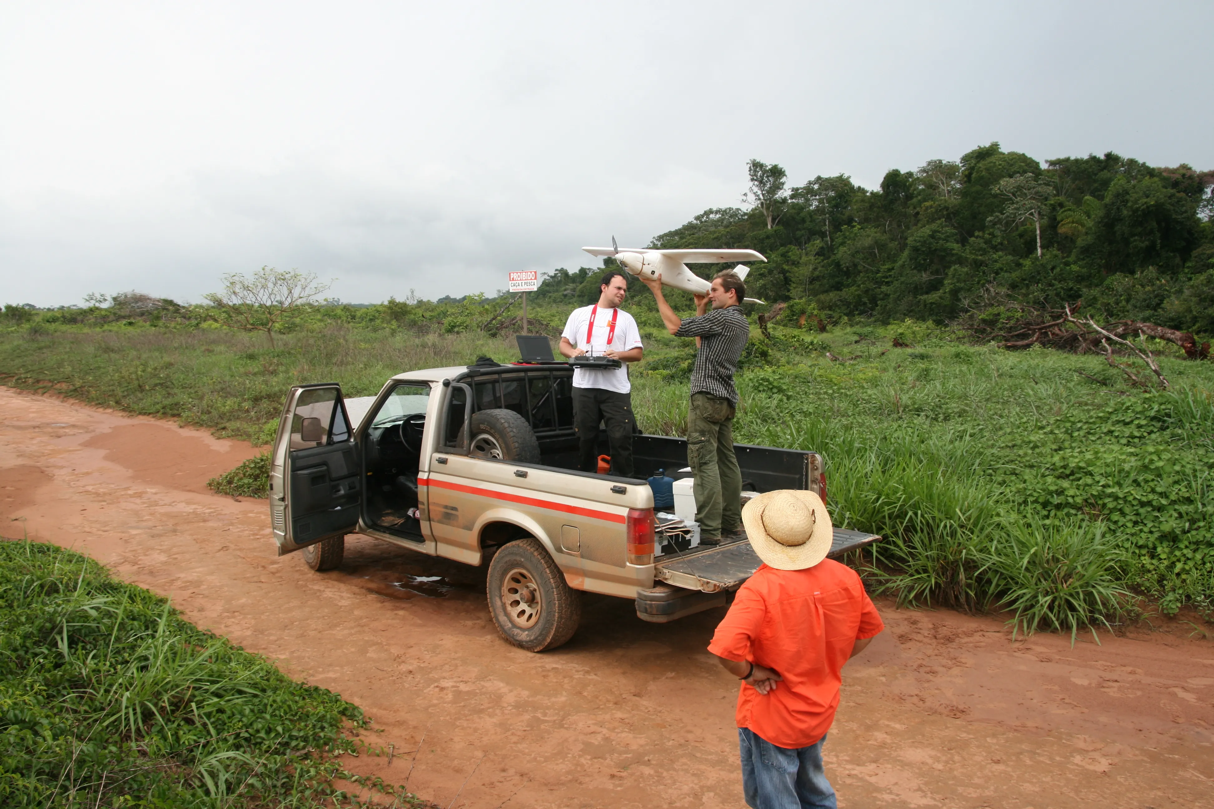
Australia's increasingly popular 12D Model software package for road design, terrain modelling, surveying and drainage has been selected as the main design and survey tool for the coordinated earthquake rebuild of Christchurch in New Zealand
The 12D Model software will be the common platform for a group of consultants and contractors making up the recently formed SCIRT, standing for "Stronger Christchurch Infrastructure Rebuild Team". They will use it for survey, repair and rebuild of both the road netwo
Australia's increasingly popular 12D Model software package for road design, terrain modelling, surveying and drainage has been selected as the main design and survey tool for the coordinated earthquake rebuild of Christchurch in New Zealand
The 12D Model software will be the common platform for a group of consultants and contractors making up the recently formed SCIRT, standing for "Stronger Christchurch Infrastructure Rebuild Team". They will use it for survey, repair and rebuild of both the road network in the city and much of the drainage and water pipe network, which is most coincident with the roads.The rebuild effort is likely to take at least five years and cost around NZ$2 billion said team member Adam Churchill, an engineer with the New Zealand consultant
The group comprises Christchurch City Council, Canterbury Earthquake Recovery Authority (CERA), the
Together they are working on an alliance basis, a form of strong teamwork operation that has been developing in Australia and New Zealand for the last decade and a half.
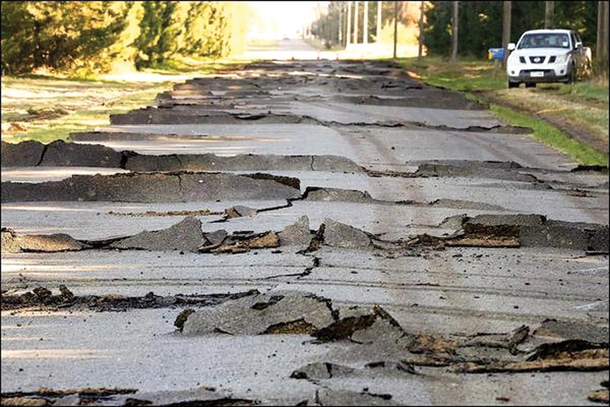
The work is extensive. The 6.3 magnitude event in February last year was overshadowed by the giant earthquake and tsunami disaster in Japan shortly afterwards, but despite its lesser absolute magnitude was a significant disaster. Not only was it one of the largest in the last century for this young country, taking a toll of 185 fatalities, and causing massive damage across the city, but it has been followed by two more in June and December last year of around magnitude six.
Damage was particularly bad in the central area of the city, New Zealand's third biggest, where soft ground suffered major liquefaction effects.
"We do not have major highways here" Churchill tells
He says driving home in the evening across the "munted" roads is a significant exercise in vigilance and avoidance. "Munted" is a local word for damaged.
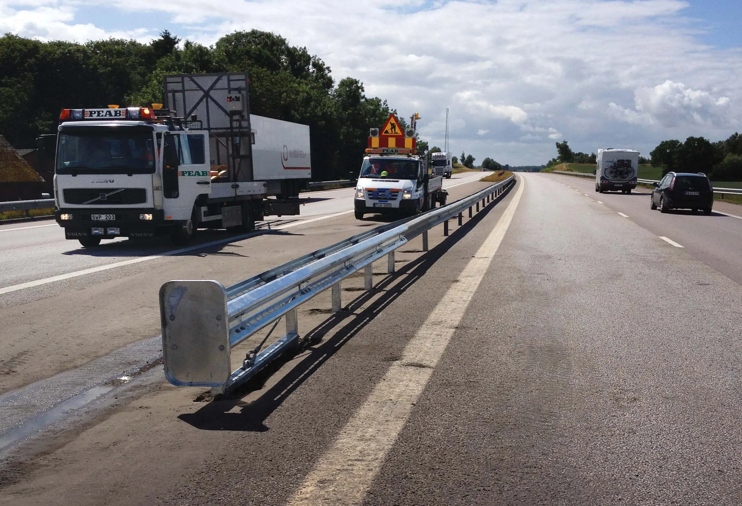
The thousands of manholes and the local network in a city area at least 15km across have to be surveyed and then repairs be designed and carried out. Over 200km of roads and 80km of pipes are to be examined as well as bridges, retaining walls and culverts.
For doing this work, and for building up a 3D model of both design and "as built" data for the client at the end, 12D was assessed as the most suitable tools says Churchill. Its antipodean origin is an obvious advantage for support but he said its various modules for survey work, road design and for drainage network design all made it a useful tool.
It allows visualisation to be created quickly and for the drainage to be seen beneath the roads. "It also has the capacity to allow attributes or metadata to be added to nodes, lines and points," he said, "which is very useful for tracking the particular input authors, tagging dates and changes, and for filtering the design in various ways when extracting information."
He said the assignment of attributes will also help the client bodies build a large GIS-based database model of the work as it proceeds. "We are waiting for Version 10 which has web map functionality that will help further with this."