
VIDEO: Topcon to distribute the Ascending Technologies’s Falcon 8

August 11, 2015
342 Topcon Positioning Group has agreed a partnership with Ascending Technologies to brand and distribute its rotary-wing unmanned aerial system (UAS).

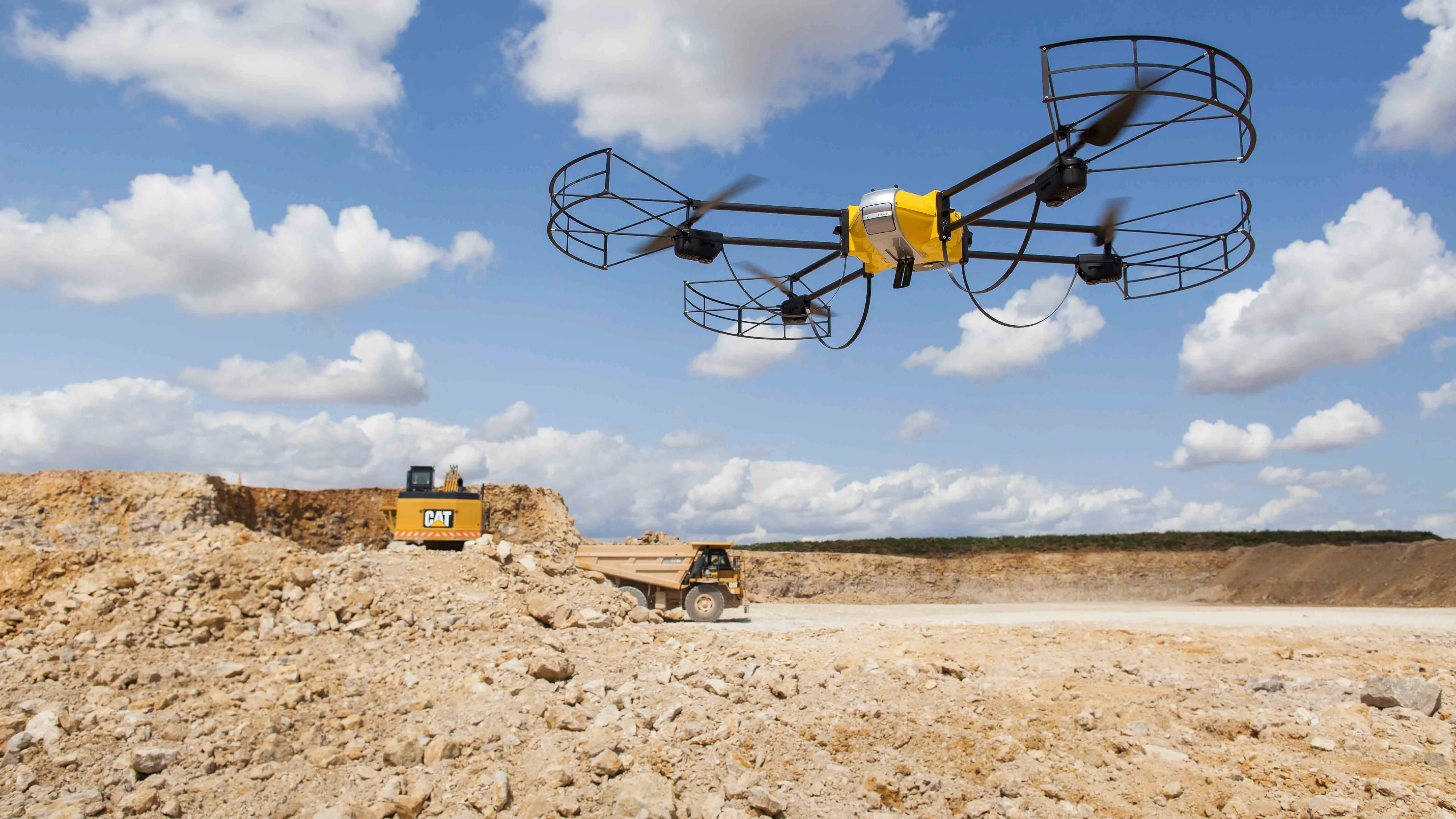
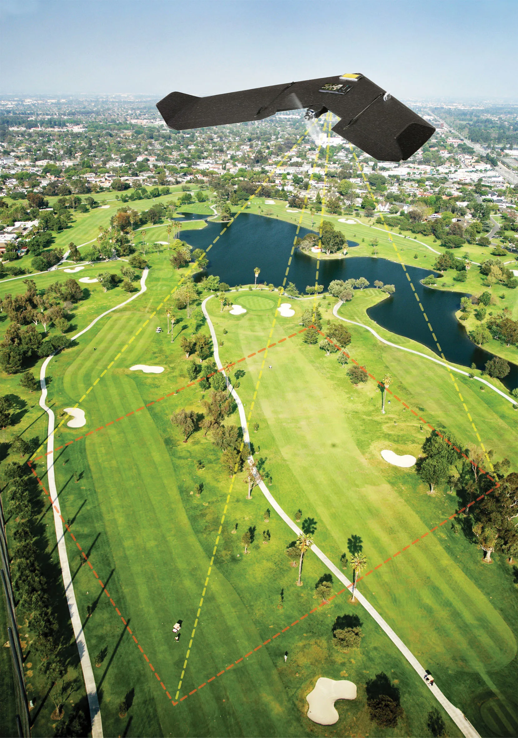
The agreement gives Topcon exclusive distribution of Ascending’s AscTec Falcon 8 unmanned aerial system (UAS), as well as the GeoEXPERT and the InspectionPRO sensing and feature packages.

The Topcon-branded UAS includes the latest AscTec Trinity autopilot technology.

Ascending Technologies, based in Germany, develops and manufactures micro UAS for professional, civil and research use.

“The AscTec Falcon 8 has been in series production since 2009 and still is the first choice UAS of world market leading inspection and surveying service providers,” said Jan Stumpf, co-founder of Ascending Technologies.

“By distributing both core target models on a worldwide level, Topcon can offer more end-users the flexibility and proven advances that these patented rotary-wings systems provide for survey, inspection and monitoring applications,” said Eduardo Falcon, executive vice president and general manager for the Topcon GeoPositioning Solutions Group.

For more information on companies in this article

Related Content

  • Machine Control sector is the place for acquisitions
    January 22, 2014
    The machine control sector has been lively in recent months with a major acquisition, the unveiling of new software innovation and landmark testing of new technology to monitor paving temperature. Guy Woodford reports The state road construction authority in the German state of Saxony-Anhalt (LSBB Saxony-Anhalt) has become the first nationally to test MOBA’s new PAVE-IR Scan temperature measurement system at a works site.
  • Airware acquires drone data analytics provider Redbird
    September 23, 2016
    Airware, a commercial drone solutions provider, has acquired Redbird, a France-based pioneer in drone data analytics that has been working closely with Caterpillar. Redbird focuses on the mining, quarrying, and construction industries through sophisticated geospatial analytics which will be integrated into the Airware Aerial Information Platform. This will give customers the combined power of Redbird's industry-specific analytics and Airware's enterprise-focused workflow, compliance, and security feature
  • Innovative GIS advances from Bluesky
    July 18, 2012
    Aerial survey specialist Bluesky is funding research into the development and use of a new system to map the UK’s cities and towns at night. Bluesky has teamed up with the University of Leicester to look at solutions using new high sensitivity camera sensor technology. Mounted on survey aircraft, the new system can record the location of street lights, illuminated road signs and other night-time sources of light. This can deliver an accurate resource for asset inventories, light pollution assessment and ene
  • Bentley acquires C3global, provider of web-based Amulet software
    February 5, 2015
    US construction software provider Bentley Systems has acquired UK-based C3global, a provider of web-based Amulet software for operational analytics for an undisclosed sum. Amulet is a data collection validation, analysis and modelling system used by many industries around the world to manage mission-critical activities. The system is used by organisations that generate large amounts of data, such as in the sectors of water and wastewater, oil and gas, energy production and transmission, retailing, commun