Trimble Takes Ultra Rugged to the Next Level with New GNSS Smart Antenna for Heavy Civil Construction

January 6, 2017

The SPS985 is the smallest and toughest GNSS receiver Trimble has ever built. With its enhanced internal shock isolation, the SPS985 is built for high-vibration use on an all-terrain vehicle (ATV), quad bike or supervisor truck. User-friendly features such as integrated Wi-Fi and wideband radio communications, quick release connector, and smart phone configuration make it easy to use as a pole-mounted rover or base station.

No video provider was found to handle the given URL. See the documentation for more information.
Exhibitions

Related Content

  • Leica Geosystems introduces smart monitoring of structures
    October 1, 2014
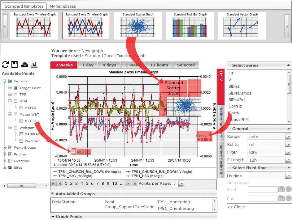
    Highly sophisticated, the Leica GeoMoS Now! From Leica Geosystems is a new web-based application enables on-the-go visualisation and analysis of structural and ground movement monitoring data. With this package, large quantities of geodetic and geotechnical data are said to be easier to handle with simplified workflows using automatic configuration and distribution tools. The package can quickly notify users of any changes in data for faster, more informed responses. Leica GeoMoS Now! allows users t
  • Paving Control Platform from Trimble
    May 27, 2022
    Users of Trimble’s Roadworks Paving Control Platform can transfer 3D designs wirelessly from the office to the machine.
  • Trimble's new tools in machine control technology
    November 10, 2016
    Trimble is focussing on making a difference at a corporate level, developing a process of positive change within its structure. The company aims to be inclusive and develop new solutions for its customers, while bringing in a wider range of personnel within its organisation. Bryn Fosburgh, vice president and executive committee member said, “What we have found in industry is that collaboration is needed. Collaboration is a key part of our values. Diversity is our strength.”
  • Straight to the point for measurement
    February 6, 2018
    Leica Geosystems says it is introducing a major advance in site surveying. This offers a novel tilt compensation system, so that users are no longer required to hold the pole vertical. The new Leica GS18 T is claimed to be the world’s fastest GNSS RTK rover, while the firm is also offering the latest versions of Leica Captivate field software and Leica Infinity office software. With the addition of calibration-free GNSS and various upgrades to the Captivate field software and Infinity office software, use