Using robotic total stations and Millimeter GPS, Topcon’s ZS100 combines two existing technologies to give operators fewer set-ups, fewer instruments – and a much simpler job site
Construction firms are now delivering roads that are more durable and feature better surface quality due to the use of digital measurement solutions. These technologies help to transfer target values into precise actual values on the ground
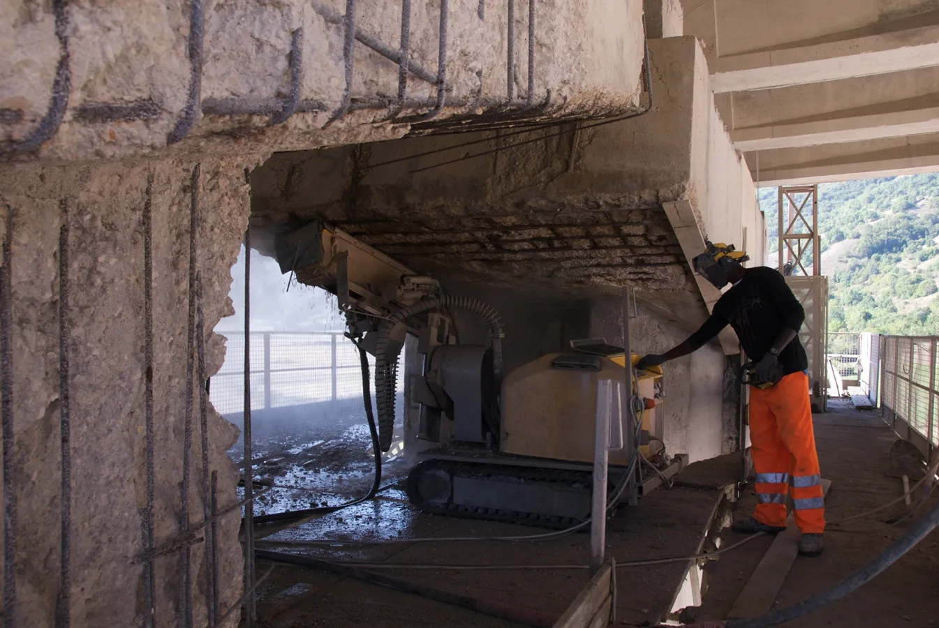
The multi-span reinforced concrete viaduct at Torano, about 100km east of the Italian capital Rome, is a major structure on the main E80/A24/A25 Autostrada crossing central Italy. The Viadotto Fiume Salto was opened in the late 1960s, but the use of de-icing salts during winter months has since caused considerable calcium chloride damage to the structure forcing the Italian Highways Authority and the Autostrada di Parchi's owner Toto to carry out extensive repairs. The renovation estimated at around €5 mill
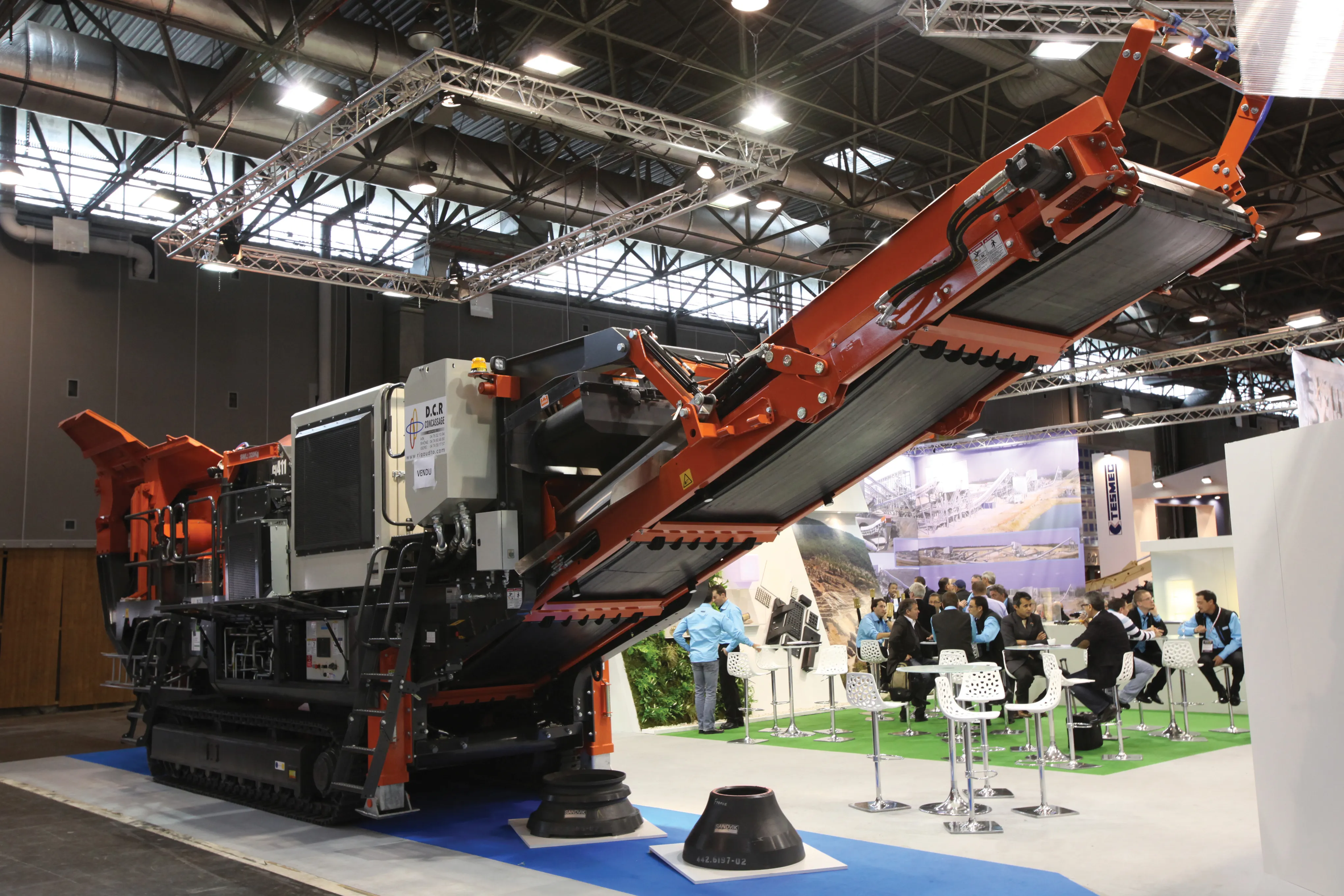
The crushing and screening phase is a crucial component in aggregate production and new development will help optimise performance - Mike Woof reports Crushing and screening is a key part of the quarrying cycle and has a huge impact on overall operating performance. Optimising operations will cut running costs, reduce materials wastage and also provide a more consistent product quality, boosting cost-effectiveness dramatically. An array of innovations were revealed to the market at the recent INTERMAT 2012
The sophisticated Leica MobileMatriX 4.1 package provides a key tool for integrating the new Leica Viva Total Stations with other technologies. Highly sophisticated, the Leica MobileMatriX package is said to be the most advanced solution available for mobile GIS applications. The system can be used in combination with GNSS, Total Stations, Level, Digital Cameras, and Laser Range Finders (LRF). Using the imaging support of the new TS15 and TS11, users of the Leica MobileMatriX package can take an image with